MyTopo
Thompson Creek Idaho US Topo Map
Couldn't load pickup availability
Also explore the Thompson Creek Forest Service Topo of this same quad for updated USFS data
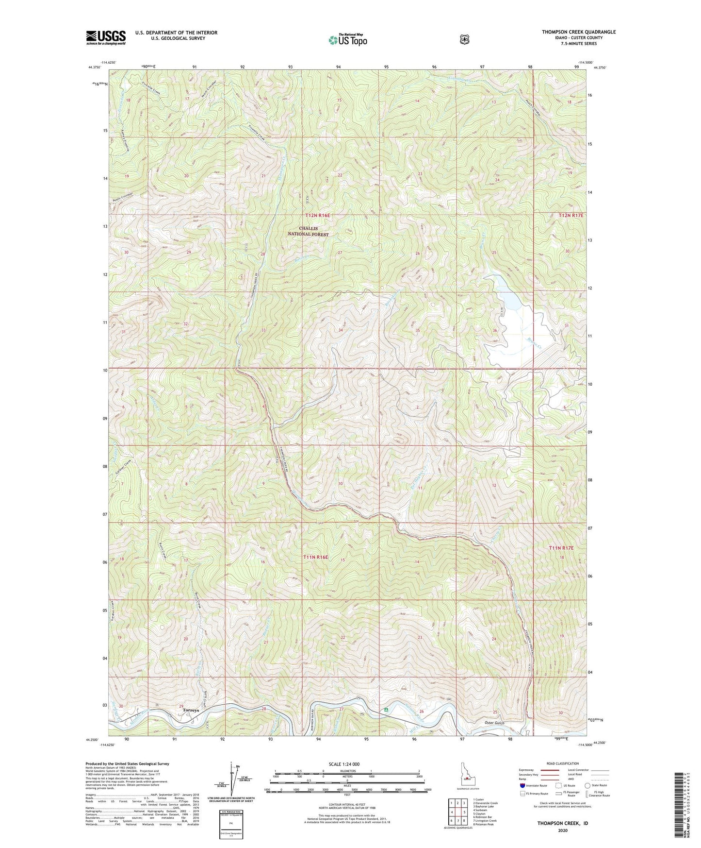
2024 topographic map quadrangle Thompson Creek in the state of Idaho. Scale: 1:24000. Based on the newly updated USGS 7.5' US Topo map series, this map is in the following counties: Custer. The map contains contour data, water features, and other items you are used to seeing on USGS maps, but also has updated roads and other features. This is the next generation of topographic maps. Printed on high-quality waterproof paper with UV fade-resistant inks.
Quads adjacent to this one:
West: Sunbeam
Northwest: Custer
North: Elevenmile Creek
Northeast: Bayhorse Lake
East: Clayton
Southeast: Potaman Peak
South: Livingston Creek
Southwest: Robinson Bar
This map covers the same area as the classic USGS quad with code o44114c5.
Contains the following named places: Alder Creek, Badger Creek, Basin Creek, Beaver Creek, Buckskin Creek, Buckskin Mine, Burnt Creek, Cherry Creek, Cold Creek, Custer Lookout, Cyprus-Thompson C Open Pit Mine, Gardner Creek, Mill Creek, Oster Gulch, Pat Hughes Creek, Scheelite Jim Mine, Slate Creek, Torreys, Torreys Hole Floatboat Access, Torreys Hole Recreation Site, Twin Apex Mine