MyTopo
Livingston Creek Idaho US Topo Map
Couldn't load pickup availability
Also explore the Livingston Creek Forest Service Topo of this same quad for updated USFS data
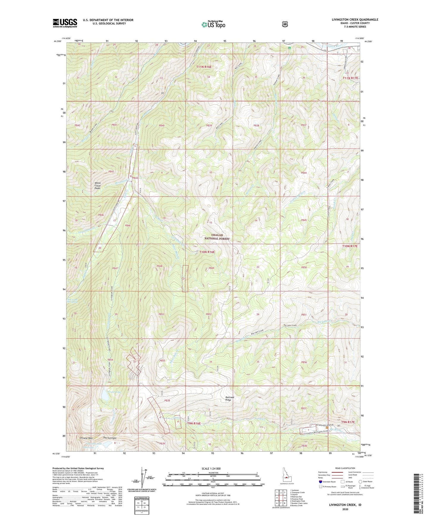
2024 topographic map quadrangle Livingston Creek in the state of Idaho. Scale: 1:24000. Based on the newly updated USGS 7.5' US Topo map series, this map is in the following counties: Custer. The map contains contour data, water features, and other items you are used to seeing on USGS maps, but also has updated roads and other features. This is the next generation of topographic maps. Printed on high-quality waterproof paper with UV fade-resistant inks.
Quads adjacent to this one:
West: Robinson Bar
Northwest: Sunbeam
North: Thompson Creek
Northeast: Clayton
East: Potaman Peak
Southeast: Bowery Creek
South: Boulder Chain Lakes
Southwest: Washington Peak
This map covers the same area as the classic USGS quad with code o44114b5.
Contains the following named places: Cal-Ida Mine, Carbonate Creek, Chinese Wall, Coal Camp Fork, Crater Lake, Crater Mine, Dike Lake, Gunsight Lake, Hermit Mine, Holman Creek, Holman Creek Campground, Hoodoo Mine Number One Dam, Jim Creek, Last Chance Creek, Little Livingston Mine, Livingston Creek, Livingston Mill, Livingston Mine, Railroad Ridge, Sheephead Creek, Silver Rule Creek, Silver Rute Mine, Sink Creek, Sled Creek, Spring Creek, Tango Mine, The Gunsight, Thompson Creek, ZIP Code: 83227