MyTopo
Thorn Creek SW Idaho US Topo Map
Couldn't load pickup availability
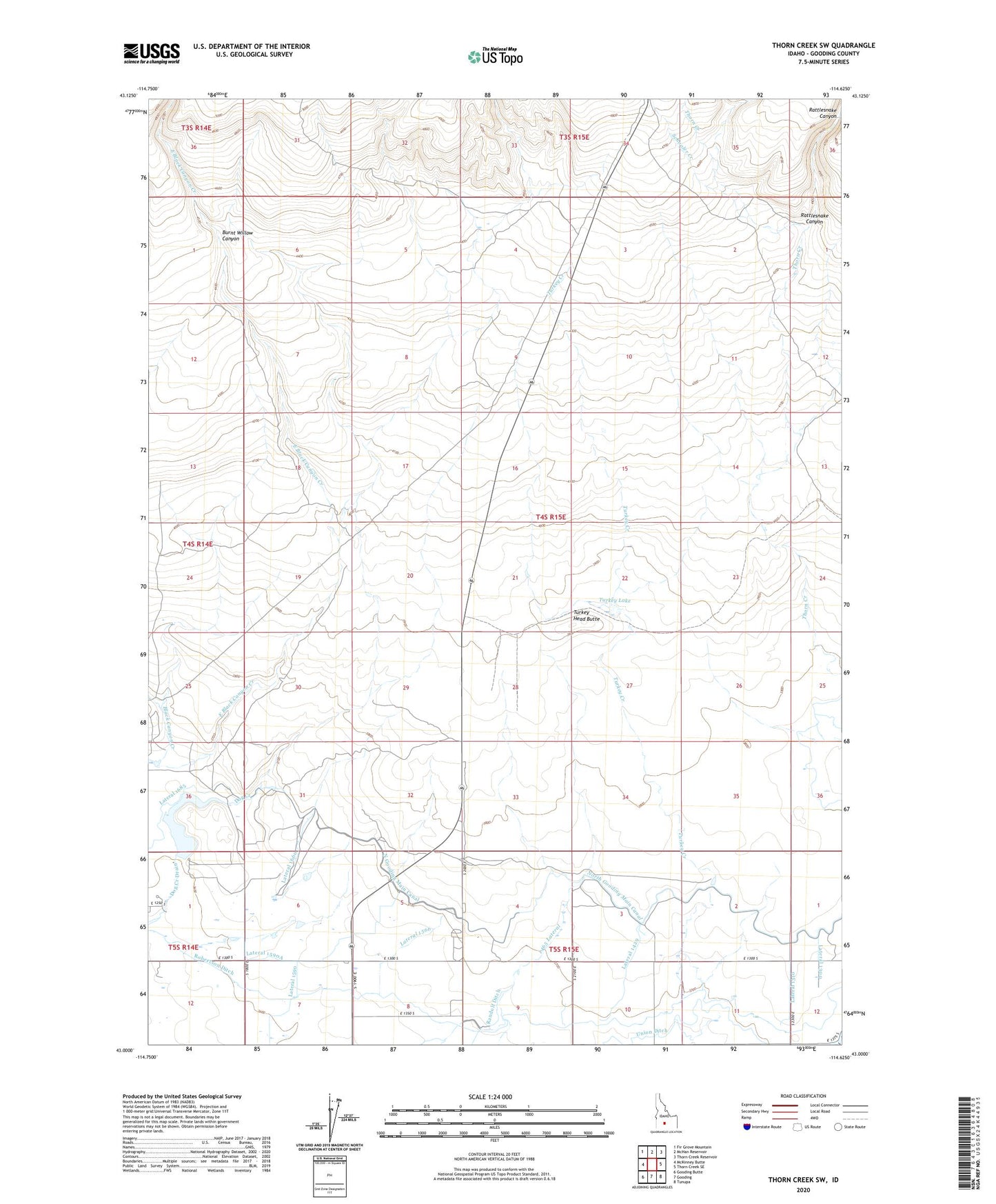
2024 topographic map quadrangle Thorn Creek SW in the state of Idaho. Scale: 1:24000. Based on the newly updated USGS 7.5' US Topo map series, this map is in the following counties: Gooding. The map contains contour data, water features, and other items you are used to seeing on USGS maps, but also has updated roads and other features. This is the next generation of topographic maps. Printed on high-quality waterproof paper with UV fade-resistant inks.
Quads adjacent to this one:
West: McKinney Butte
Northwest: Fir Grove Mountain
North: McHan Reservoir
Northeast: Thorn Creek Reservoir
East: Thorn Creek SE
Southeast: Tunupa
South: Gooding
Southwest: Gooding Butte
This map covers the same area as the classic USGS quad with code o43114a6.
Contains the following named places: Burnt Willow Canyon, Dog Creek, Dog Creek Dam, Dog Creek Reservoir, Dog Creek Reservoir Public Fishing Area, East Black Canyon Creek, Lateral 1300, Lateral 1310, Lateral 1429, Lateral 1465A, Lateral 1566, Lateral 1590, Lateral 1590A, Lateral 1660, Little City of Rocks, North Gooding Main Canal, Randolf Ditch, Randolf Pipe, Rattlesnake Canyon, Robertson Ditch, Schooler Creek, The Thorns, Turkey Creek, Turkey Head Butte, Turkey Lake, Union Ditch, Union Spillway