MyTopo
Alsey Illinois US Topo Map
Couldn't load pickup availability
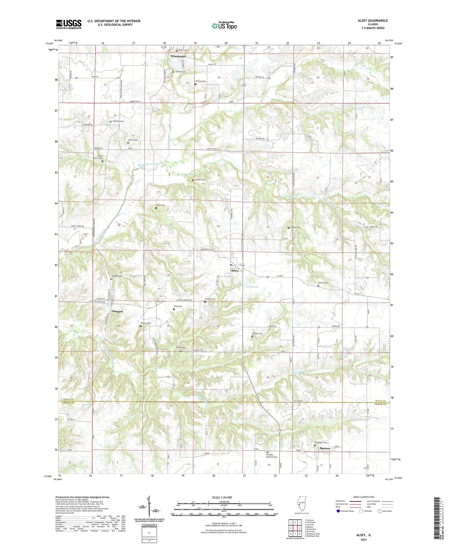
2024 topographic map quadrangle Alsey in the state of Illinois. Scale: 1:24000. Based on the newly updated USGS 7.5' US Topo map series, this map is in the following counties: Scott, Greene. The map contains contour data, water features, and other items you are used to seeing on USGS maps, but also has updated roads and other features. This is the next generation of topographic maps. Printed on high-quality waterproof paper with UV fade-resistant inks.
Quads adjacent to this one:
West: Bedford
Northwest: Florence
North: Winchester
Northeast: Lynnville
East: Manchester
Southeast: Roodhouse East
South: Roodhouse West
Southwest: Pearl East
This map covers the same area as the classic USGS quad with code o39090e4.
Contains the following named places: Adams Cemetery, Alsey, Alsey Election Precinct, Alsey Lake, Alsey Lake Dam, Alsey Post Office, Barrow, Bowers Cemetery, Burns Cemetery, Carlton Cemetery, Carlton School, Claywell Cemetery, Claywell School, Cowhick Cemetery, Fairview School, Glasgow, Glasgow Cemetery, Jewitt Cemetery, Kellar School, Little Sandy Creek, Lovelace School, Miller Cemetery, New School, North Little Sandy Creek, Peak Cemetery, Perkins Cemetery, Pleasant Hill Church, Pleasant Hill School, Smith Cemetery, South College School, Thompson Cemetery, Village of Alsey, Village of Glasgow, Williams Edwards Cemetery, Williams-Edwards Cemetery, Wilson Cemetery, Wilson Farm Cemetery, Winchester Number 3 Election Precinct, Wishon Cemetery, ZIP Codes: 62610, 62694