MyTopo
Dallas City Illinois US Topo Map
Couldn't load pickup availability
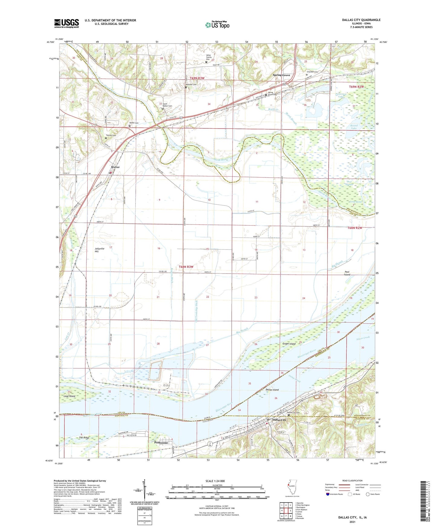
2024 topographic map quadrangle Dallas City in the states of Iowa, Illinois. Scale: 1:24000. Based on the newly updated USGS 7.5' US Topo map series, this map is in the following counties: Hancock, Lee, Des Moines, Henderson. The map contains contour data, water features, and other items you are used to seeing on USGS maps, but also has updated roads and other features. This is the next generation of topographic maps. Printed on high-quality waterproof paper with UV fade-resistant inks.
Quads adjacent to this one:
West: Fort Madison
Northwest: Danville
North: West Burlington
Northeast: Burlington
East: Lomax
Southeast: Burnside
South: Colusa
Southwest: Niota
This map covers the same area as the classic USGS quad with code o40091f2.
Contains the following named places: Beebe Cemetery, Big Slough, Blackhawk Bottoms, Brush Creek, Burk's Run Wildlife Area, Camp Creek, Chandler Cemetery, City of Dallas City, Dallas City, Dallas City High School, Dallas City Post Office, Dallas City Quarry, Dallas City Rural Fire Station, Dallas Island, Eureka School, Grace Bible Church, Grape Chute, Grape Island, Green Bay Access, Green Bayou, Half Moon Lake, Hartman Pond, Indian Path Park, Jollyville Hill, Jollyville Post Office, KBKB-FM (Fort Madison), Lead Island, Long Creek, Long Pond, Lost Slough, Miller Family Plot, Mohnike Cemetery, Mount Ayr Wastewater Treatment Plant, Oak Grove Church, Old Township Ditch, Opossum Creek, Patterson, Patterson Lake, Peel Island, Pontoosuc, Rogers Ditch, Round Lake, Skunk River, Skunk River Access, South Walker Cemetery, Spillman Creek, Spring Grove, Spring Grove Cemetery, Spring Grove Church, Spring Lake Campground, The Ridge, Tierney Cemetery, Township of Concordia, Township of Green Bay, Village of Pontoosuc, Wever, Wever Census Designated Place, Wever Fire and Rescue Department, Wever Post Office, ZIP Code: 52658


