MyTopo
Niota Illinois US Topo Map
Couldn't load pickup availability
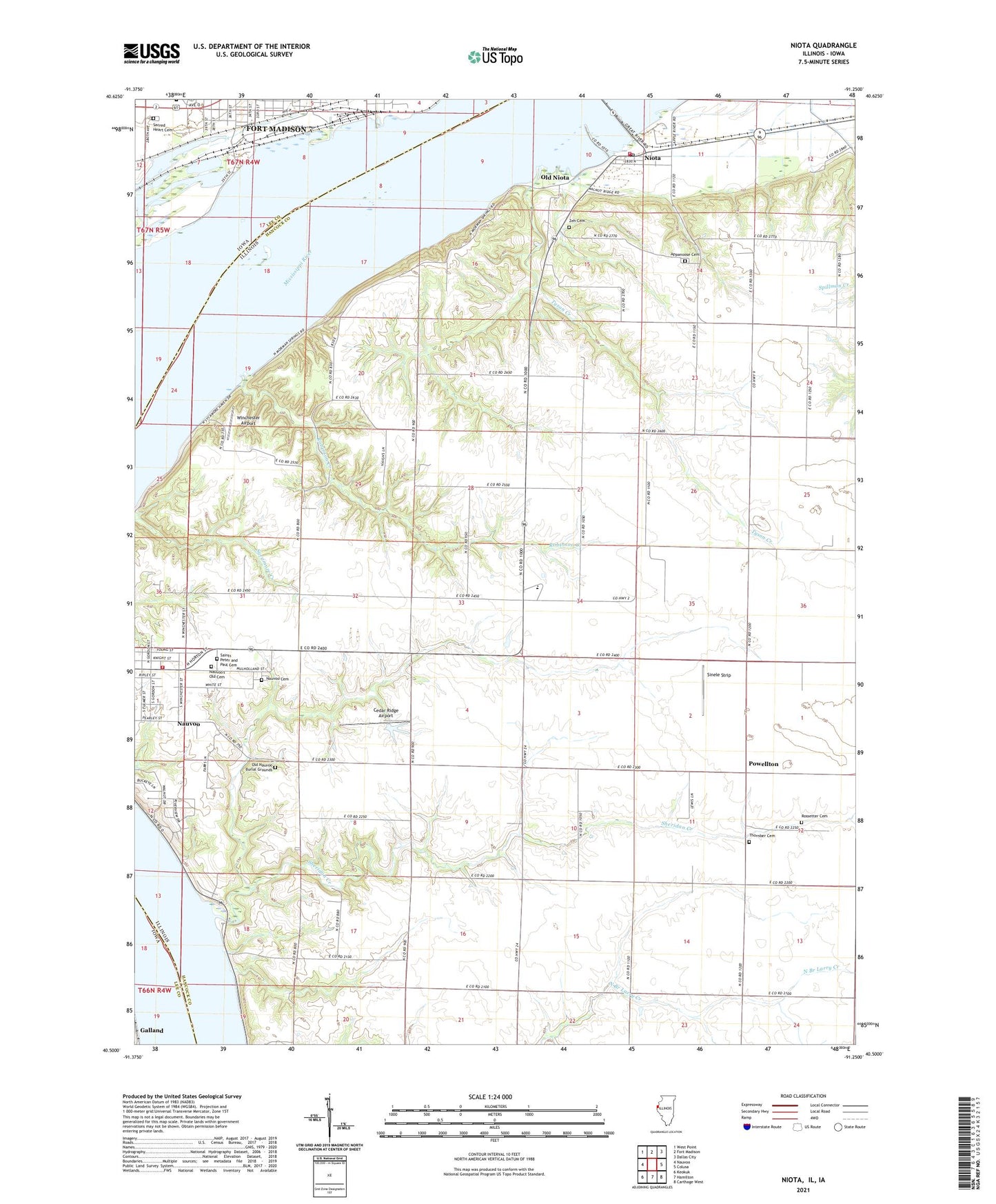
2024 topographic map quadrangle Niota in the states of Illinois, Iowa. Scale: 1:24000. Based on the newly updated USGS 7.5' US Topo map series, this map is in the following counties: Hancock, Lee. The map contains contour data, water features, and other items you are used to seeing on USGS maps, but also has updated roads and other features. This is the next generation of topographic maps. Printed on high-quality waterproof paper with UV fade-resistant inks.
Quads adjacent to this one:
West: Nauvoo
Northwest: West Point
North: Fort Madison
Northeast: Dallas City
East: Colusa
Southeast: Carthage West
South: Hamilton
Southwest: Keokuk
This map covers the same area as the classic USGS quad with code o40091e3.
Contains the following named places: Appanoose Cemetery, Appanoose Church, Appanoose Post Office, Baxters Vineyard, Cedar Ridge Airport, Center School, Christy School, City of Fort Madison, Columbia School, Crescent School, Dry Creek, Elliott School, Fort Madison Health Center, Frenchtown School, Galland, Galland Post Office, Lodi Shopping Center, Maple Grove School, Mound School, Nashville Post Office, Nauvoo Cemetery, Nauvoo Fire Protection District, Nauvoo-Colusa Senior High School, Nauvoo's Old Cemetery, Niota, Niota Census Designated Place, Niota Fire Department, Niota Post Office, Old Nauvoo Burial Grounds, Old Niota, Pleasant Hill School, Powellton, Robinson Creek, Sacred Heart Cemetery, Saints Peter and Paul Cemetery, Sheridan Creek, Sinele Strip, Sineles Sunset Strip, Thornber Cemetery, Township of Appanoose, Township of Sonora, Tyson Creek, Winchester Airport, ZIP Codes: 62354, 62358


