MyTopo
DeLong Illinois US Topo Map
Couldn't load pickup availability
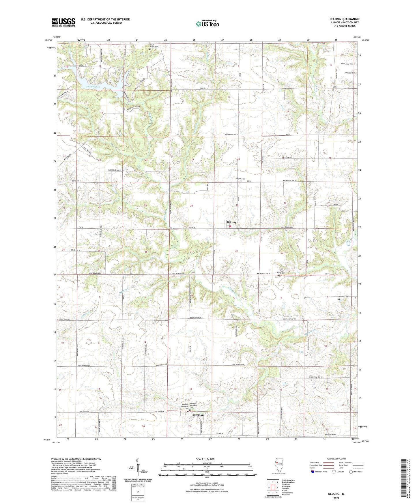
2024 topographic map quadrangle DeLong in the state of Illinois. Scale: 1:24000. Based on the newly updated USGS 7.5' US Topo map series, this map is in the following counties: Knox. The map contains contour data, water features, and other items you are used to seeing on USGS maps, but also has updated roads and other features. This is the next generation of topographic maps. Printed on high-quality waterproof paper with UV fade-resistant inks.
Quads adjacent to this one:
West: Abingdon
Northwest: Galesburg West
North: Galesburg East
Northeast: Appleton
East: Maquon
Southeast: Fairview
South: London Mills
Southwest: Avon
Contains the following named places: Barnett School, Bliss School, Brunk Creek, Brush Creek, Brush Creek Cemetery, Burnside, Camp Shaubena, Cashman School, Cornfield College School, Davies Landing Strip, De Long Fire Department, DeLong, Delong Post Office, Earl School, Elias Bragg Cemetery, Elwell School, Good Samaritan Retreat, Harper Cemetery, Harper School, Haynes Cemetery, Haynes Church, Hermon, Hermon Christian Cemetery, Hermon Methodist Cemetery, Lake Bracken, Lake Bracken Country Club, Lake Bracken Dam, Middle Grove School, Oak Grove School, Orange Chapel, Township of Chestnut, Township of Orange, Way School, White School