MyTopo
Flanagan SW Illinois US Topo Map
Couldn't load pickup availability
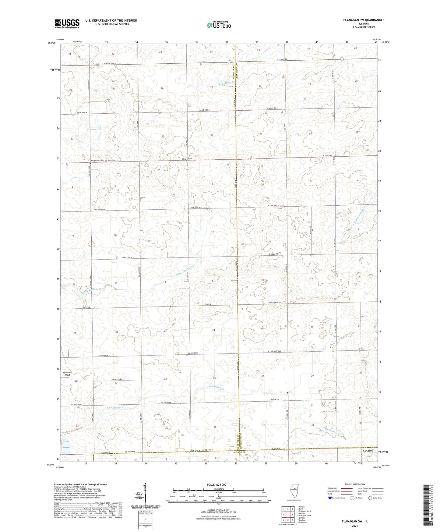
2024 topographic map quadrangle Flanagan SW in the state of Illinois. Scale: 1:24000. Based on the newly updated USGS 7.5' US Topo map series, this map is in the following counties: Woodford, Livingston, McLean. The map contains contour data, water features, and other items you are used to seeing on USGS maps, but also has updated roads and other features. This is the next generation of topographic maps. Printed on high-quality waterproof paper with UV fade-resistant inks.
Quads adjacent to this one:
West: Benson
Northwest: Minonk
North: Dana
Northeast: Flanagan North
East: Flanagan South
Southeast: Lexington
South: Gridley
Southwest: El Paso
This map covers the same area as the classic USGS quad with code o40088g8.
Contains the following named places: Baughman Cemetery, Corn Alley Airport, Township of Panola