MyTopo
Harrisburg Illinois US Topo Map
Couldn't load pickup availability
Also explore the Harrisburg Forest Service Topo of this same quad for updated USFS data
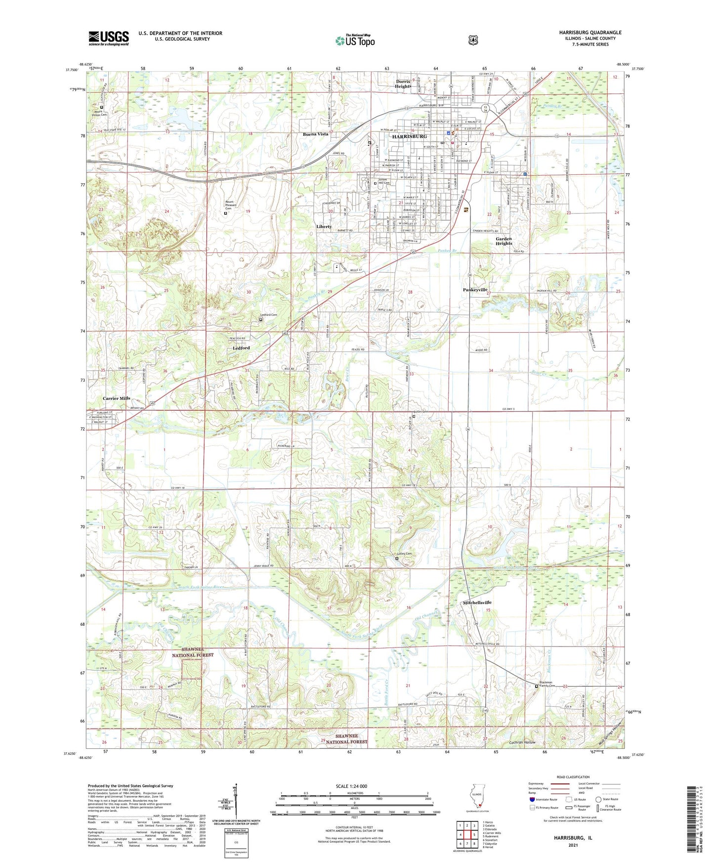
2024 topographic map quadrangle Harrisburg in the state of Illinois. Scale: 1:24000. Based on the newly updated USGS 7.5' US Topo map series, this map is in the following counties: Saline. The map contains contour data, water features, and other items you are used to seeing on USGS maps, but also has updated roads and other features. This is the next generation of topographic maps. Printed on high-quality waterproof paper with UV fade-resistant inks.
Quads adjacent to this one:
West: Carrier Mills
Northwest: Harco
North: Galatia
Northeast: Eldorado
East: Rudement
Southeast: Herod
South: Eddyville
Southwest: Stonefort
This map covers the same area as the classic USGS quad with code o37088f5.
Contains the following named places: Battle Ford Creek, Blackman Creek, Blackman Family Cemetery, Buena Vista, Butler Cemetery, Cain School, City of Harrisburg, Cochran Hollow, Dorris Heights, Dorrisville, Dorrisville School, Duncan School, East Ingram Hill School, East Side Grade School, Garden Heights, Gaskins City, Gulley Cemetery, Harrisburg, Harrisburg Fire Department, Harrisburg High School, Harrisburg Medical Center, Harrisburg Medical Center Heliport, Harrisburg Post Office, Illinois Youth Center - Harrisburg, Independence School, Ingram Hill Church, Lake View School, Lakeview Church, Ledford, Ledford Cemetery, Liberty, Liberty School, Lightner Hospital, Lincoln School, Little Saline River, Logan School, Macedonia Church, Macedonia School, Malan Junior High School, McKinley School, Miller Emergency Medical Services, Mitchellsville, Moore - Vinson Cemetery, Mount Pleasant Cemetery, Mount Zion Church, North Walnut School, Old Channel, Pankey Branch, Pankeyville, Pierson School, Sahara Mine Number 16, Salem Church, Salem School, Saline County Ambulance Service, Saline County Courthouse, Saline County Sheriff's Office, Saline Ridge Church, South Walnut School, Spring Valley Church, Sunset Hill Cemetery, Township of Harrisburg, Township of Independence, Walnut Grove Church, WEBQ-AM (Harrisburg), West Side Grade School, ZIP Code: 62946


