MyTopo
Lebanon Illinois US Topo Map
Couldn't load pickup availability
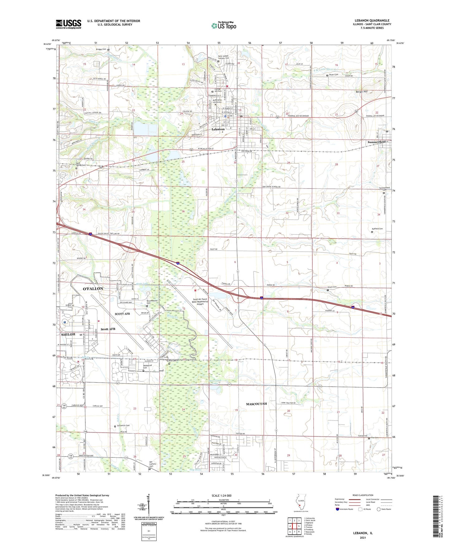
2024 topographic map quadrangle Lebanon in the state of Illinois. Scale: 1:24000. Based on the newly updated USGS 7.5' US Topo map series, this map is in the following counties: St. Clair. The map contains contour data, water features, and other items you are used to seeing on USGS maps, but also has updated roads and other features. This is the next generation of topographic maps. Printed on high-quality waterproof paper with UV fade-resistant inks.
Quads adjacent to this one:
West: O'Fallon
Northwest: Collinsville
North: Saint Jacob
Northeast: Highland
East: Trenton
Southeast: Venedy
South: Mascoutah
Southwest: Freeburg
This map covers the same area as the classic USGS quad with code o38089e7.
Contains the following named places: Ames Dining Hall, Ash Creek, Baker Hall, Barnett Hall, Berger Hill, Bothwell Chapel, Bridges Cemetery, Bryan Cemetery, Calvary Baptist Church, Cardinal Creek Golf Course, Carnegie Hall, Chapel One, Chapel Two, Chapel Two Picnic Area, City of Lebanon, City of Mascoutah, Clark Hall, College Hill Cemetery, Community Church of God, Deneen Center, E E Voigt Science Hall, East Branch Little Silver Creek, Eisenmayer Auditorium, Emerald Mound Grange, Emmerich Cemetery, Engle Creek, Fike Cemetery, First United Methodist Church, Flying L Airport, Griffin Cemetery, Hagemann Creek, Holman Library, Home Cemetery, Hope Christian Church, Horner Recreation Park, Hypes Soccer Field, Illinois Air National Guard 126th Air Refueling Wing Fire Department, In Action for Christ Church, Lebanon, Lebanon - Emerald Mound Volunteer Fire Department, Lebanon City Hall, Lebanon High School, Lebanon Police Department, Lebanon Post Office, Lebanon School, Lebanon Sewage Treatment Plant, Lebanon Temple Church, Leemon Football Field, Little Oak Old Regular Baptist Church, Little Silver Creek, Locust Hills Golf Club, Marion K Piper Academic Center, Mascoutah Free Will Baptist Church, Mascoutah Lake, Mascoutah Sportsmens Club, Mascoutah Township Grange, McAllister Park, McKendree University, MedStar Ambulance, Melvin Price Convocation Center, MidAmerica Airport Fire Department, Middlecoff Cemetery, Neverman Lake, O'Fallon Sewage Treatment Plant, Old Catholic Cemetery, Old Main, Padfield Cemetery, Pearsons Hall, Perschbacher Cemetery, Rock Spring Branch, Rock Spring Cemetery, Saint Johns United Church of Christ, Saint Joseph Catholic Cemetery, Saint Joseph Church, Saint Martin of Tours Lutheran Church, Saint Paul United Church of Christ, Scott Air Force Base, Scott Air Force Base Census Designated Place, Scott Air Force Base Fire Department, Scott Air Force Base Pond, Scott Air Force Base Pond Dam, Scott Air Force Base/MidAmerica St Louis Airport, Scott Lake, Scott Lake Recreation Area, Scott Medical Center, Scott Munitions Storage Annex, Scott School, Scott School North, Shiloh Valley Grange, Silver Creek Drainage Ditch, Southern Illinois University Belleville Research Center, Spring Valley Baptist Church, Summerfield, Summerfield Cemetery, Summerfield Park, Summerfield Post Office, Summerfield School, Township of Lebanon, Township of Mascoutah, Township of O'Fallon, Union Cemetery, Walton Hall, Wildy Hall, ZIP Codes: 62225, 62254, 62289


