MyTopo
Normal West Illinois US Topo Map
Couldn't load pickup availability
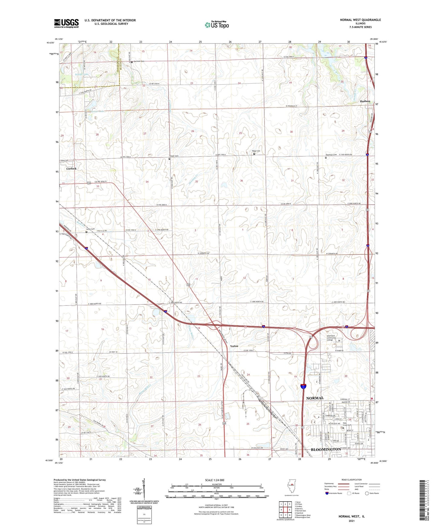
2024 topographic map quadrangle Normal West in the state of Illinois. Scale: 1:24000. Based on the newly updated USGS 7.5' US Topo map series, this map is in the following counties: McLean, Woodford. The map contains contour data, water features, and other items you are used to seeing on USGS maps, but also has updated roads and other features. This is the next generation of topographic maps. Printed on high-quality waterproof paper with UV fade-resistant inks.
Quads adjacent to this one:
West: Danvers
Northwest: Secor
North: El Paso
Northeast: Gridley
East: Normal East
Southeast: Bloomington East
South: Bloomington West
Southwest: Stanford
This map covers the same area as the classic USGS quad with code o40089e1.
Contains the following named places: Belvidere School, Center School, Crown Point School, Dearing Country Farms, Denman Cemetery, Denman School, Dry Grove School, Dry Grove Townhall, East White Oak Bible Church, Eyestone School Museum, Fairview Park, Garfield School, Grace Baptist Church, Grant School, Heartland Community College, Holder School, Holy Cross Cemetery, Illinois State University Golf Course, Kaufman Cemetery, Kaufman School, Lantz Cemetery, Linkins Center, Maple Grove School, Maxwell Park, Mitsubishi Fire Brigade, Normal Community High School, Normal Fire Department Station 2, Normal Industrial Park, Northmeadow Village Trailer Park, Oakdale Elementary School, Oasis Trailer Park, Parkside Elementary School, Parkside Junior High School, Pickett School, Ropp Cemetery, Ropp Farms, Rose Hill School, Schlipf Lake, Schlipf Lake Dam, State University Farm, Sunset Lake, Sunset Lake Subdivision Dam, Township of Dry Grove, Township of White Oak, Troyer Cemetery, University Park Plaza Shopping Center, West Point School, WGLT-FM (Normal), White Oak School, Wilkins Hall, Wright Hall, Yuton, ZIP Code: 61725