MyTopo
Piper City NE Illinois US Topo Map
Couldn't load pickup availability
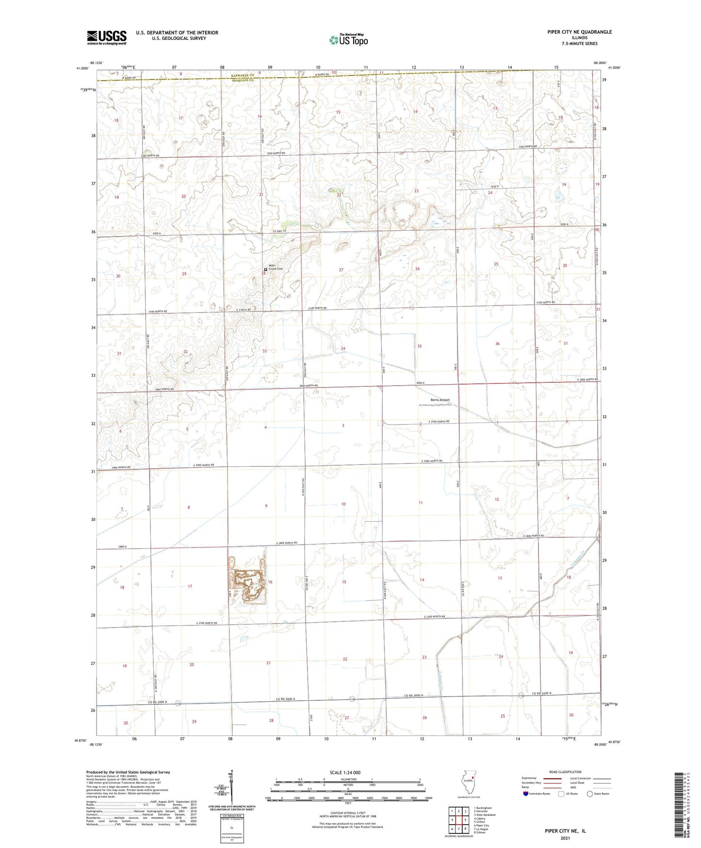
2024 topographic map quadrangle Piper City NE in the state of Illinois. Scale: 1:24000. Based on the newly updated USGS 7.5' US Topo map series, this map is in the following counties: Iroquois, Kankakee. The map contains contour data, water features, and other items you are used to seeing on USGS maps, but also has updated roads and other features. This is the next generation of topographic maps. Printed on high-quality waterproof paper with UV fade-resistant inks.
Quads adjacent to this one:
West: Cabery
Northwest: Buckingham
North: Herscher
Northeast: West Kankakee
East: Clifton
Southeast: Gilman
South: La Hogue
Southwest: Piper City
This map covers the same area as the classic USGS quad with code o40088h1.
Contains the following named places: Adams School, Ashkum Quarry, Berns Airport, Dieter School, Duckworth School, Green School, Henley School, Jackson School, Kahle School, Milk's Grove Cemetery, Milks Grove Church, Milks Grove Town Hall, Pearson School, Porter Airport, Township of Milks Grove, Wade School, Wadleigh School, Walker School