MyTopo
Pleasant Hill West Illinois US Topo Map
Couldn't load pickup availability
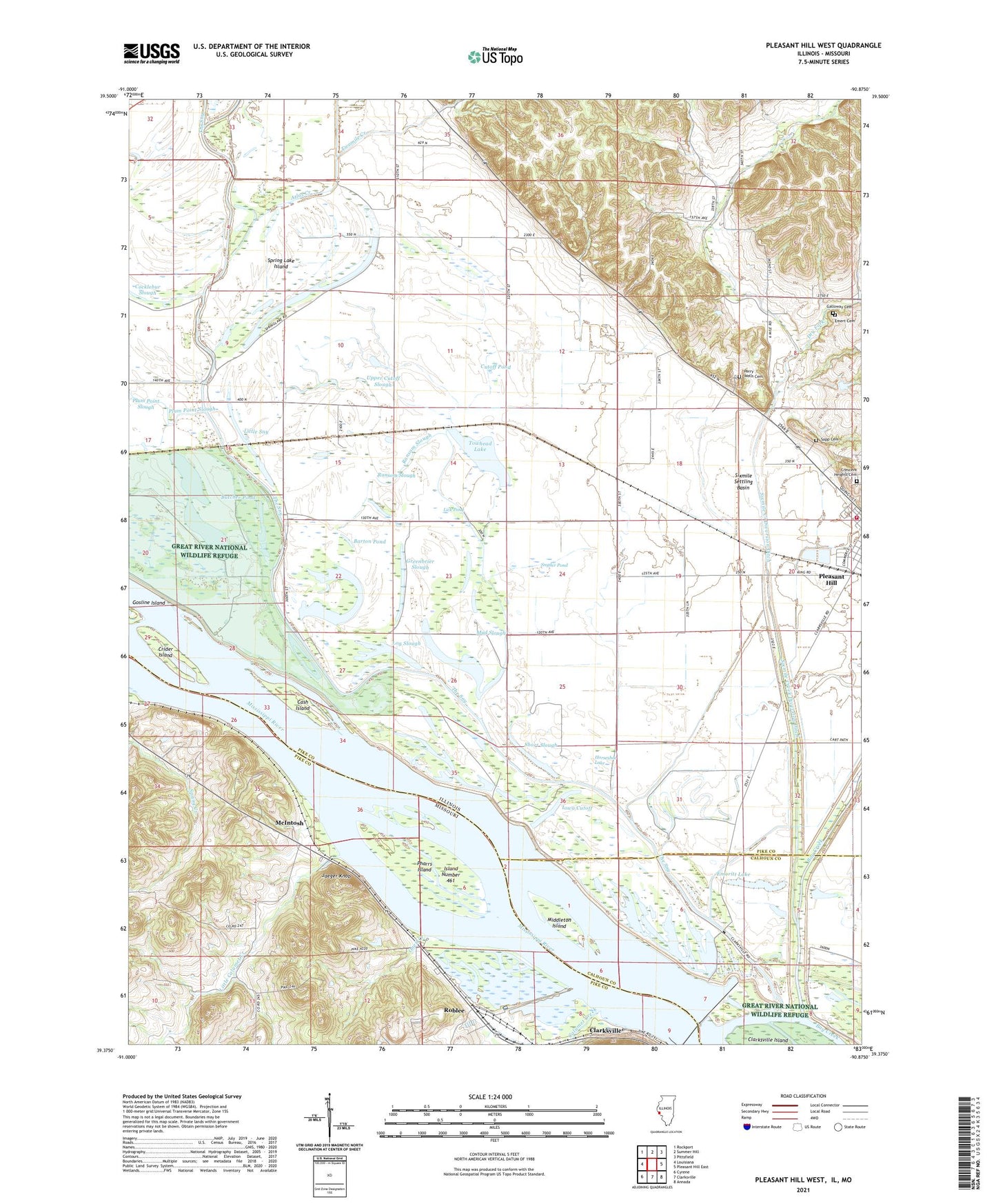
2024 topographic map quadrangle Pleasant Hill West in the states of Illinois, Missouri. Scale: 1:24000. Based on the newly updated USGS 7.5' US Topo map series, this map is in the following counties: Pike, Calhoun. The map contains contour data, water features, and other items you are used to seeing on USGS maps, but also has updated roads and other features. This is the next generation of topographic maps. Printed on high-quality waterproof paper with UV fade-resistant inks.
Quads adjacent to this one:
West: Louisiana
Northwest: Rockport
North: Summer Hill
Northeast: Pittsfield
East: Pleasant Hill East
Southeast: Annada
South: Clarksville
Southwest: Cyrene
Contains the following named places: Atlas Creek, Barton Pond, Buckskin School, Butcher Pond, Calumet Creek, Calumet School, Cash Island, Clarksville State Game Refuge, Cottonwood School, Crescent Heights Cemetery, Crider Island, Cutoff Pond, Dry Fork, Emert Cemetery, Emoritt Lake, Greenbrier Slough, Halfmoon Lake, Han Slough, Horseshoe Lake, Iowa Cutoff, Island Number 461, Jaeger Knob, Lick Pond, Little Calumet Creek, Little Sny, Lock and Dam 24, Lock and Dam Number 24, Log Slough, Lower Swan Lake, Mackey School, McIntosh, Middleton Island, Mononame 149 Dam, Mud Slough, Oneil Creek, Perry Wells Cemetery, Pharrs Island, Pleasant Hill Access Point, Pleasant Hill Fire Protection District, Pool 24, Prairie Mound School, Ransom Slough, Roblee, Ross Townhall, Sapp Cemetery, Short Slough, Sixmile Creek, Sixmile Creek Diversion Ditch, Sixmile Settling Basin, Sny Church, Snyder Pond, Spring Lake, Spring Lake Island, Spring Lake School, Stockland School, Towhead Lake, Township of Ross, Twin Lakes, Twomile Creek, Upper Cutoff Slough, Upper Swan Lake, Walnut Grove School, ZIP Code: 62366


