MyTopo
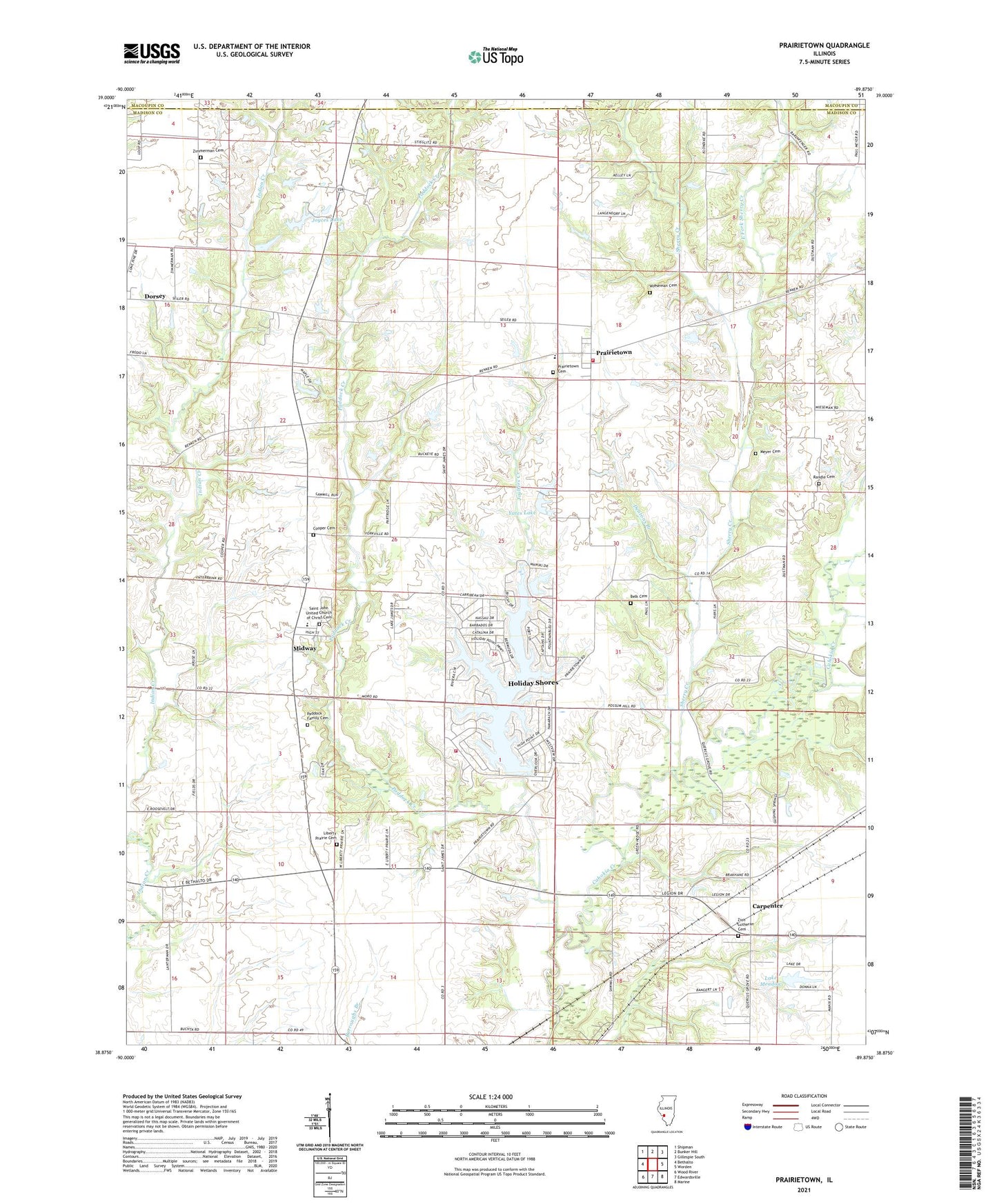
Prairietown Illinois US Topo Map
Couldn't load pickup availability
2024 topographic map quadrangle Prairietown in the state of Illinois. Scale: 1:24000. Based on the newly updated USGS 7.5' US Topo map series, this map is in the following counties: Madison, Macoupin. The map contains contour data, water features, and other items you are used to seeing on USGS maps, but also has updated roads and other features. This is the next generation of topographic maps. Printed on high-quality waterproof paper with UV fade-resistant inks.
Quads adjacent to this one:
West: Bethalto
Northwest: Shipman
North: Bunker Hill
Northeast: Gillespie South
East: Worden
Southeast: Marine
South: Edwardsville
Southwest: Wood River
This map covers the same area as the classic USGS quad with code o38089h8.
Contains the following named places: Apostolic Revival Church, Belk Cemetery, Butler School, Carpenter, Cooper Cemetery, Dentons Branch, East Fork Sherry Creek, Grove School, Hickory Grove School, Holiday Lake, Holiday Shores, Holiday Shores Census Designated Place, Holiday Shores Fire Protection District, Holiday Shores Lake Dam, Joulters Creek, Joyces Lake, Joyces Lake Dam, Klondike Mine, Lake Heights, Lake Heights Dam, Lake Meadow, Lake Meadow Dam, Liberty Prairie Cemetery, Liberty Prairie School, Meyer Cemetery, Midway, Midway School, Omphghent Post Office, Omphghent School, Paddock Creek, Paddock Family Cemetery, Prairietown, Prairietown Cemetery, Prairietown Census Designated Place, Prairietown Fire Department, Randle Cemetery, Saint John United Church of Christ, Saint John United Church of Christ Cemetery, Saint Peter Lutheran Church, Saint Peter Lutheran School, Sherry Creek, Township of Fort Russell, Township of Moro, White Rock Creek, Wieseman Cemetery, Yates Lake, Yates Lake Dam, Yorkville School, Zimmerman Cemetery, Zimmerman School, Zion Lutheran Cemetery, Zion Lutheran Church, ZIP Codes: 62021, 62067


