MyTopo
Hayden Indiana US Topo Map
Couldn't load pickup availability
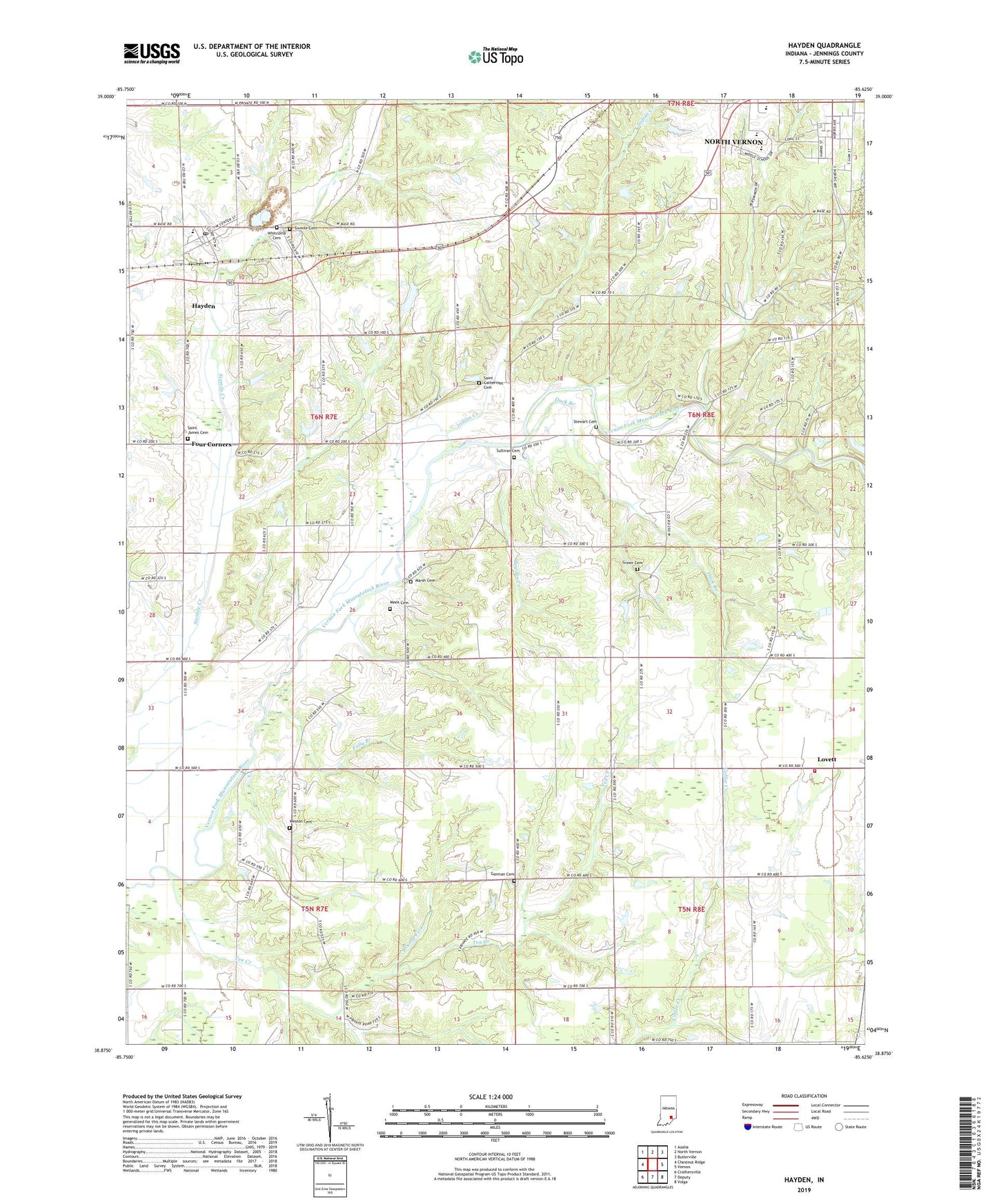
2022 topographic map quadrangle Hayden in the state of Indiana. Scale: 1:24000. Based on the newly updated USGS 7.5' US Topo map series, this map is in the following counties: Jennings. The map contains contour data, water features, and other items you are used to seeing on USGS maps, but also has updated roads and other features. This is the next generation of topographic maps. Printed on high-quality waterproof paper with UV fade-resistant inks.
Quads adjacent to this one:
West: Chestnut Ridge
Northwest: Azalia
North: North Vernon
Northeast: Butlerville
East: Vernon
Southeast: Volga
South: Deputy
Southwest: Crothersville
This map covers the same area as the classic USGS quad with code o38085h6.
Contains the following named places: Aerobatic Practice Airport, Brushy Fork, Centerville Community Church, Duck Branch, Four Corners, German Cemetery, Green Cemetery, Hayden, Hayden Census Designated Place, Hayden Elementary School, Hayden Post Office, Hayden Quarry, Indian Creek, Jennings County, Lovett, Lovett Township Volunteer Fire Department, Marsh Cemetery, Meek Cemetery, Muscatatuck County Park, Polly Branch, Powder Creek, Saint Catherines Cemetery, Saint James Cemetery, Saint Josephs Church, Sixmile Cemetery, Spencer Township Volunteer Fire Department Station 1, Spencer Township Volunteer Fire Department Station 2, Stewart Cemetery, Sullivan Cemetery, Tanglewood Lake, Tea Creek, Tea Creek Church, Township of Lovett, Township of Spencer, Van Voorhies Lake Dam, Weston Cemetery, Weston Church, Whitcomb Cemetery, WOCH-AM (North Vernon), WOCH-FM (North Vernon), Zion Church