MyTopo
Volga Indiana US Topo Map
Couldn't load pickup availability
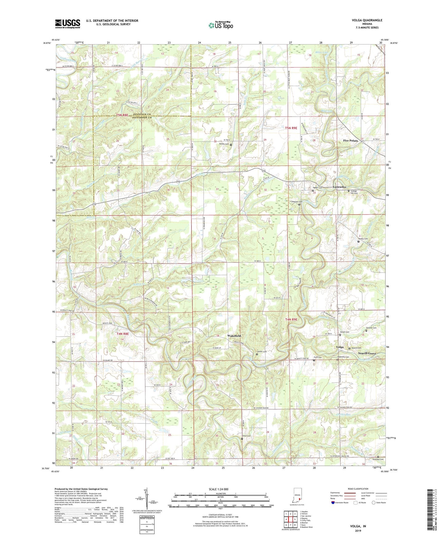
2022 topographic map quadrangle Volga in the state of Indiana. Scale: 1:24000. Based on the newly updated USGS 7.5' US Topo map series, this map is in the following counties: Jefferson, Jennings. The map contains contour data, water features, and other items you are used to seeing on USGS maps, but also has updated roads and other features. This is the next generation of topographic maps. Printed on high-quality waterproof paper with UV fade-resistant inks.
Quads adjacent to this one:
West: Deputy
Northwest: Hayden
North: Vernon
Northeast: San Jacinto
East: Clifty Falls
Southeast: Madison West
South: Kent
Southwest: Blocher
This map covers the same area as the classic USGS quad with code o38085g5.
Contains the following named places: Camp Louis Ernst, Chicken Run, Clashman Cemetery, College Hill Cemetery, Five Points, Ford Cemetery, Goose Creek, Graham Post Office, Harberts Creek, Hensley Creek, Hopewell Cemetery, Hopewell Church, Kinnear Cemetery, Lancaster, Lancaster Church, Lawler Cemetery, Lick Branch Church, Little Bear Creek, Little Creek, Lloyd Cemetery, McKay Cemetery, Middle Fork Creek, Miller Lake, Miller Lake Dam, Neavill Cemetery, Neavill Grove, Neils Creek Post Office, Nelson Cemetery, Ogden Cemetery, Paradise Acre Lake, Pisgah Church, Scotland Cemetery, Shiloh Cemetery, Shingleton Dam, Thompson Branch, Township of Lancaster, Township of Smyrna, Turkey Branch, Volga, Wakefield, Walton Creek