MyTopo
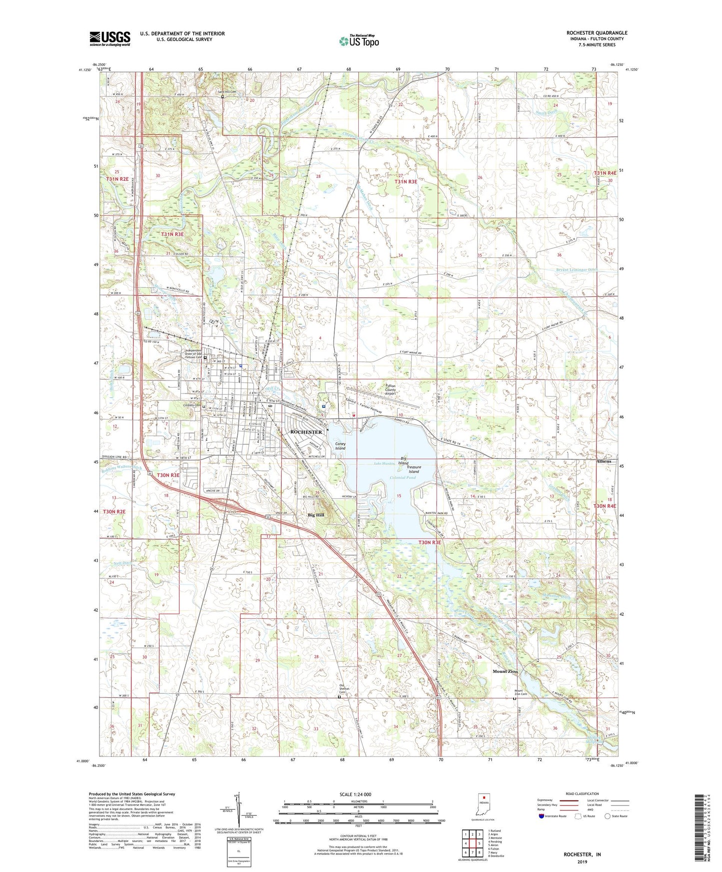
Rochester Indiana US Topo Map
Couldn't load pickup availability
2022 topographic map quadrangle Rochester in the state of Indiana. Scale: 1:24000. Based on the newly updated USGS 7.5' US Topo map series, this map is in the following counties: Fulton. The map contains contour data, water features, and other items you are used to seeing on USGS maps, but also has updated roads and other features. This is the next generation of topographic maps. Printed on high-quality waterproof paper with UV fade-resistant inks.
Quads adjacent to this one:
West: Pershing
Northwest: Rutland
North: Argos
Northeast: Mentone
East: Akron
Southeast: Deedsville
South: Macy
Southwest: Fulton
This map covers the same area as the classic USGS quad with code o41086a2.
Contains the following named places: Athens, Big Hill, Big Island, Blair Ditch, Chippewanuck Creek, Citizens Cemetery, City of Rochester, Colonial Pond, Columbia Elementary School, Coney Island, Fulton County Airport, Fulton County Courthouse, Fulton County Emergency Medical Services, George M Riddle Elementary School, Independent Order of Odd Fellows Cemetery, Lake Manitou, Mastellar Ditch, McMahan Ditch, Menominee Public Fishing Area, Mill Creek, Millark Millpond Dam, Minnow Ditch, Mount Zion, Mount Zion Cemetery, Mount Zion Millpond, Mount Zion Millpond Dam, Neff Ditch, Old Shelton Cemetery, Rain Creek, Rochester, Rochester Community High School, Rochester Community Middle School, Rochester Fire Department, Rochester Library, Rochester Post Office, Sand Hill Cemetery, Showley Hog Farms, Smith Ditch, Township of Rochester, Treasure Island, Whitenberger Eiler Ditch, Woodlawn Hospital


