MyTopo
Arlington Iowa US Topo Map
Couldn't load pickup availability
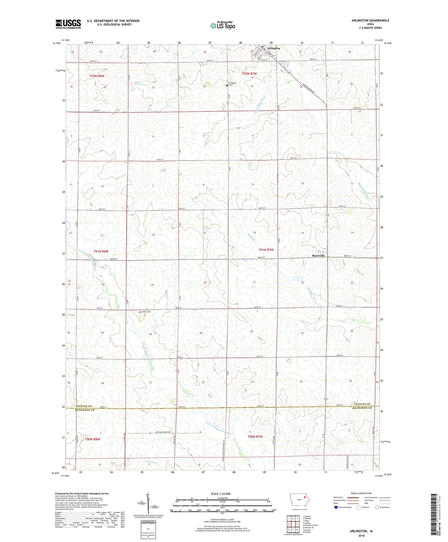
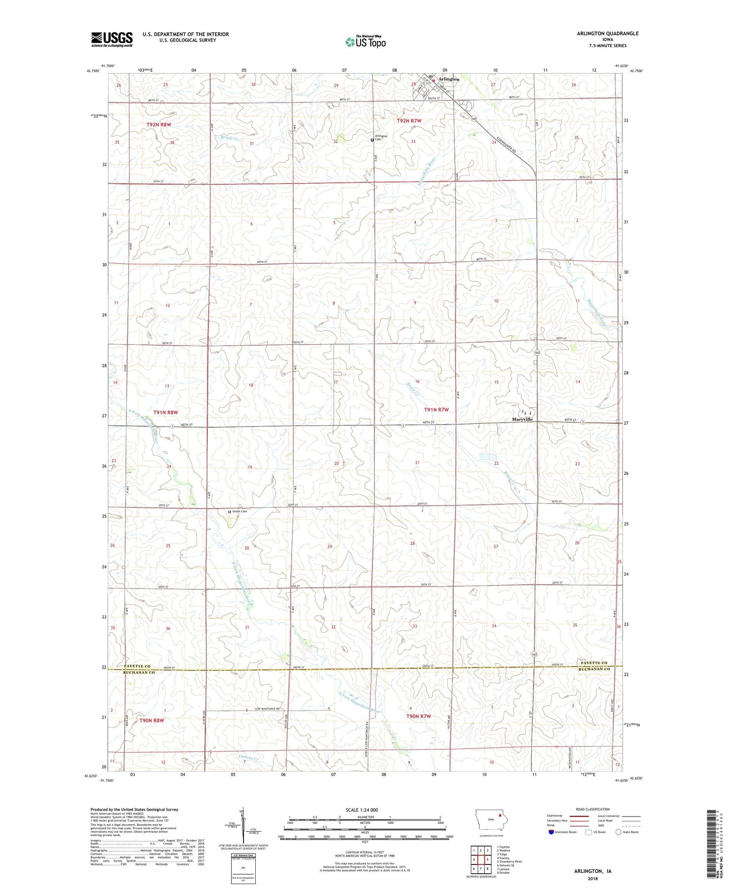
2022 topographic map quadrangle Arlington in the state of Iowa. Scale: 1:24000. Based on the newly updated USGS 7.5' US Topo map series, this map is in the following counties: Fayette, Buchanan. The map contains contour data, water features, and other items you are used to seeing on USGS maps, but also has updated roads and other features. This is the next generation of topographic maps. Printed on high-quality waterproof paper with UV fade-resistant inks.
Quads adjacent to this one:
West: Stanley
Northwest: Fayette
North: Wadena
Northeast: Volga
East: Strawberry Point
Southeast: Dundee
South: Lamont
Southwest: Oelwein SE
This map covers the same area as the classic USGS quad with code o42091f6.
Contains the following named places: Arlington, Arlington Area Ambulance, Arlington Cemetery, Arlington Post Office, Arlington Public Library, Arlington Volunteer Fire Department, Castle House, Church of Christ, City of Arlington, Independent District of Center School, Lake District School, Maryville, Mercy Clinic - Arlington, Putnam Post Office, Saint John Lutheran Church, Starmont Elementary School, Starmont High School, Starmont Middle School, Summit District School, Township of Putnam, Union Cemetery, Union Church, United Methodist Church, Wheeland District School, ZIP Code: 50606