MyTopo
Wadena Iowa US Topo Map
Couldn't load pickup availability
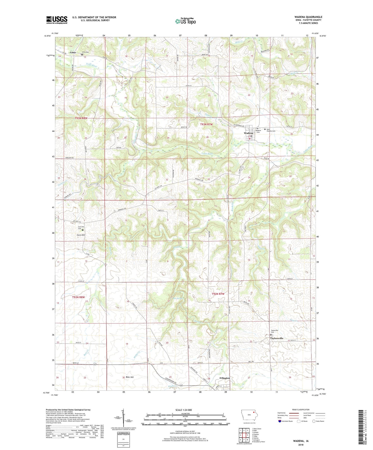
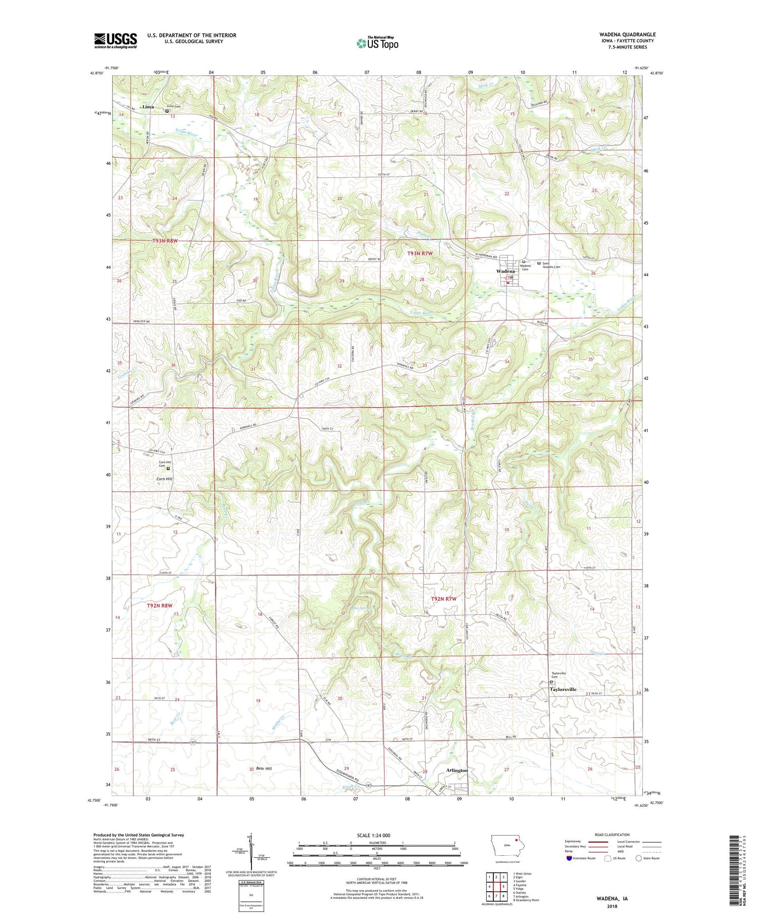
2022 topographic map quadrangle Wadena in the state of Iowa. Scale: 1:24000. Based on the newly updated USGS 7.5' US Topo map series, this map is in the following counties: Fayette. The map contains contour data, water features, and other items you are used to seeing on USGS maps, but also has updated roads and other features. This is the next generation of topographic maps. Printed on high-quality waterproof paper with UV fade-resistant inks.
Quads adjacent to this one:
West: Fayette
Northwest: West Union
North: Elgin
Northeast: Gunder
East: Volga
Southeast: Strawberry Point
South: Arlington
Southwest: Stanley
This map covers the same area as the classic USGS quad with code o42091g6.
Contains the following named places: Arlington, Bear Creek, Bear Hill, Blue Spring, Brush Creek, Brush Creek Canyon State Park, City of Wadena, Corn Hill, Corn Hill Cemetery, Corn Hill Post Office, Grannis Creek, Grannis Creek Wildlife Management Area, Lima, Lima Cemetery, Lima Church, Lima Post Office, Mill Grove Post Office, Moine Creek, Plum Creek, Saint Josephs Cemetery, Taylorsville, Taylorsville Cemetery, Taylorsville Post Office, Township of Fairfield, Township of Illyria, Volga River Access, Wadena, Wadena - Illyria Fire Department, Wadena Cemetery, Wadena Christian Academy, Wadena City Hall, Wadena Community Presbyterian Church, Wadena Post Office, Wadena Public Library, ZIP Code: 52169