MyTopo
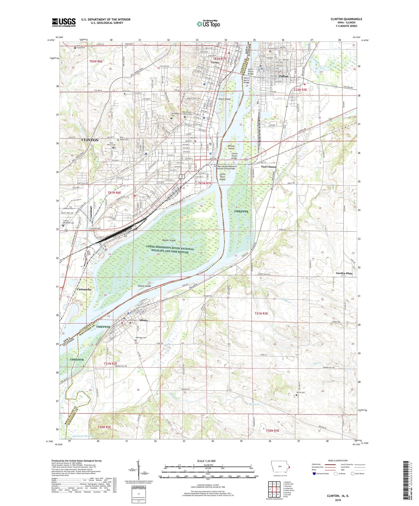
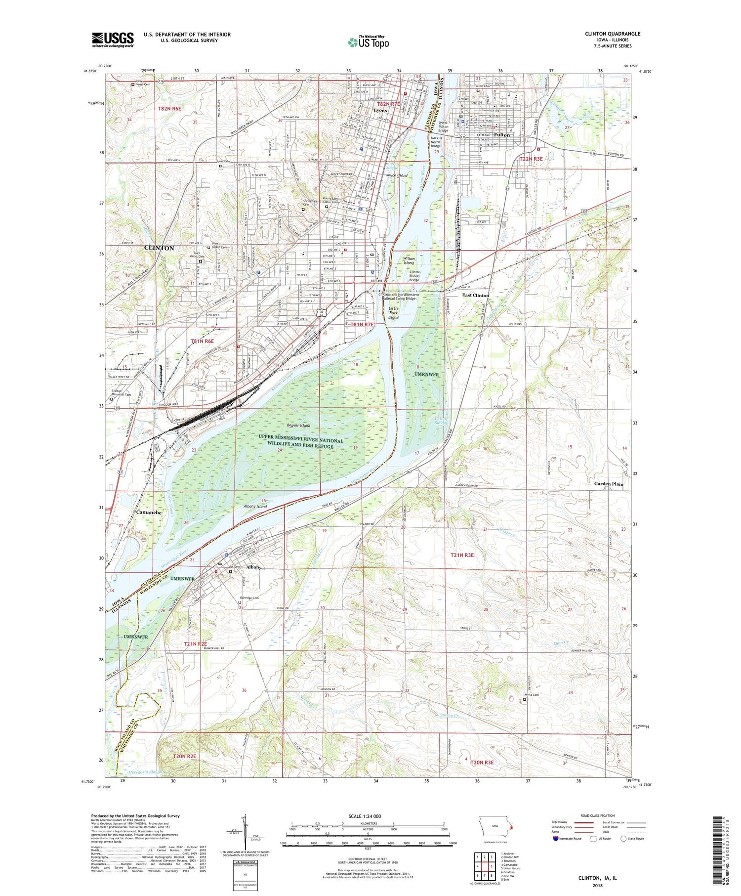
Clinton Iowa US Topo Map
Couldn't load pickup availability
2022 topographic map quadrangle Clinton in the states of Illinois, Iowa. Scale: 1:24000. Based on the newly updated USGS 7.5' US Topo map series, this map is in the following counties: Clinton, Whiteside, Rock Island. The map contains contour data, water features, and other items you are used to seeing on USGS maps, but also has updated roads and other features. This is the next generation of topographic maps. Printed on high-quality waterproof paper with UV fade-resistant inks.
Quads adjacent to this one:
West: Camanche
Northwest: Andover
North: Clinton NW
Northeast: Thomson
East: Union Grove
Southeast: Erie
South: Erie NW
Southwest: Cordova
Contains the following named places: Albany, Albany Elementary School, Albany Fire Protection District, Albany Island, Albany Police Department, Albany Post Office, Alverno Health Care Facility, Apostolic Temple of Victory, Ashford University - Clinton Campus, Atonement Lutheran Church, Beaver Island, Beaver Slough, Bethel Ame Church, Bethel Christian Reformed Church, Bible Missionary Church, Bickelhaupt Arboretum, Bluff Elementary School, Brookside Creek, Calvary Baptist Church, Cattail Creek, Cattail Slough, Cattail Slough Public Use Area, Cedar Creek, Cedar Creek School, Chancy Lutheran Church, Chancy Park, Chicago and Northwestern Railroad Swing Bridge, Church of the Open Door, City of Clinton, City of Fulton, Clinton, Clinton Back and Neck Care Center, Clinton Church of Christ, Clinton Community College, Clinton Community College Neighborhood Park, Clinton Country Club, Clinton County Courthouse, Clinton County Sheriff's Office, Clinton Fire Department Central Station, Clinton Fire Department Chancy Fire Station 2, Clinton Fire Department Lyons Fire Stations 3, Clinton Foot and Ankle Clinic, Clinton High School, Clinton High School Lincoln Campus, Clinton Illinois Bridge, Clinton Memorial Cemetery, Clinton Park, Clinton Plaza West Shopping Center, Clinton Police Department, Clinton Post Office, Clinton Public Library, Clinton Stock Yards, Clover Hills Shopping Center, Community Christian School, Community Congregational Church, Community Reformed Church, Custon Park, Dewitt Park, Dolan Memorial Park, East Clinton, Edwin P Neubauer Park, Emma Young Park, Evangelical Free Church, First Baptist Church, First Church of Christ Scientist, First Church of the Nazarene, First Congregational Church, First Presbyterian Church, First Spiritualist Church, First United Methodist Church, First White Settler in Clinton County Historical Marker, Four Square Park, Foursquare Gospel Church, Franklin School, Fulton, Fulton Cemetery, Fulton City Police Department, Fulton Community High School, Fulton Elementary School, Fulton Fire Protection District, Fulton Junior High School, Fulton Post Office, Garden Plain, Garden Plain Quarry, Gateway Baptist Church, George O Morris Park, Grace Episcopal Church, Graceway Baptist Church, Harding School, Hawthorne School, Hess Cemetery, Hess School, Holy Cross Cemetery, Horace Mann School, Immanuel Lutheran Church, Irving School, Jane Lamb Health Center, Jefferson Elementary School, Jehovahs Witnesses Congregation, Joyce Island, Joyces Slough, Kirkwood School, Kiwanis Park, KROS Radio Tower, KROS-AM (Clinton), Life Tabernacle Pentecostal Church, Lighthouse Christian Church, Little Oklahoma, Little Rock Island, Lloyds Mobile Home Park, Longfellow School, Lower Beaver Lake, Lusk Cemetery, Lyons, Lyons Branch Library, Lyons Post Office, Lyons United Methodist Church, Lyons-Fulton Bridge, Mark N Morris Bridge, Mater Dei High School, Medic Emergency Medical Services Clinton, Medical Associates Clinic, Mercy Medical Center - North Campus, Mercy Medical Center South Campus, Meredosia Slough, Mill Creek, Milwaukee Passenger Station, Minta Cemetery, Mississippi Belle Ii Emergency Medical Services, Mount Pleasant Park, Mount Saint Clare Cemetery, New Life Assembly of God Church, Northside Church of God, Oakridge Cemetery, Our Lady of Angels Seminary, Our Saviors Evangelical Lutheran Church, Pine Grove Cemetery, Pleasure Park, Prairie Village Shopping Center, Prince of Peace Catholic Church, Prince of Peace Catholic School, Reorganized Church of Jesus Christ of Latter Day Saints, River Cities Internal Medicine Center, River View City Park, River View Stadium, Riverside Presbyterian Church, Root Park, Saint Boniface Church, Saint Johns Episcopal Church, Saint Johns Lutheran Church, Saint Mary's Cemetery, Saint Patrick Catholic Church, Saint Paul Lutheran Church, Saint Stephens Lutheran Church, Schmaling Memorial Public Library, School Park, Second Baptist Church, Seventh Day Adventist Church, Seymour School, Shady Acres Mobile Home Park, Sikkemas Trailer Park, Slocum Street School, South School, Southside Park, Spring Creek, Spring Creek School, Springdale Cemetery, Stone Street School, Sunfish Slough, Sunflower Spiritualist Church, The Church of Jesus Christ of Latter Day Saints, Total Foot Care Center, Township of Garden Plain, Trinity Lutheran Church, Trinity Primary School, Trinity School, Trinity United Methodist Church, Union Park, Unitarian Universalist Church, Unity Christian High School, Upper Beaver Lake, Village of Albany, Wartburg College, Washington Middle School, Whittier Elementary School, Willow Island, Zion Evangelical Lutheran Church, ZIP Code: 61252


