MyTopo
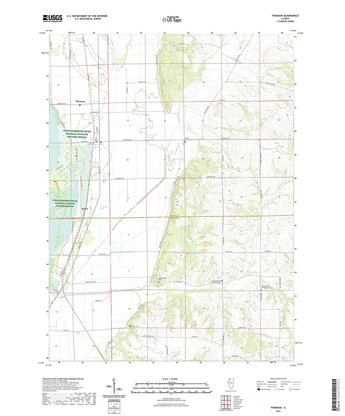
Thomson Illinois US Topo Map
Couldn't load pickup availability
2024 topographic map quadrangle Thomson in the state of Illinois. Scale: 1:24000. Based on the newly updated USGS 7.5' US Topo map series, this map is in the following counties: Carroll, Whiteside. The map contains contour data, water features, and other items you are used to seeing on USGS maps, but also has updated roads and other features. This is the next generation of topographic maps. Printed on high-quality waterproof paper with UV fade-resistant inks.
Quads adjacent to this one:
West: Clinton NW
Northwest: Savanna
North: Wacker
Northeast: Mount Carroll
East: Fair Haven
Southeast: Morrison
South: Union Grove
Southwest: Clinton
This map covers the same area as the classic USGS quad with code o41090h1.
Contains the following named places: Acker - Fulton Quarry, Baker Cemetery, Blind Charleys Corner, Crouch School, Ebner, Hollinshead Cemetery, Lower York Cemetery, Old Goose Lake, Otter Bluff School, Otter Creek, Potter Slough, Rosenow Airport, Spring Valley, Spring Valley Farm, Spring Valley Methodist Cemetery, Spring Valley Presbyterian Cemetery, Spring Valley School, Tehan School, Thomson, Thomson - Fulton Sand Prairie Nature Preserve, Thomson Fire Protection District, Thomson High School, Thomson Post Office, Township of Ustick, Township of York, United States Penitentiary Thompson, Village of Thomson, York Church, ZIP Code: 61285


