MyTopo
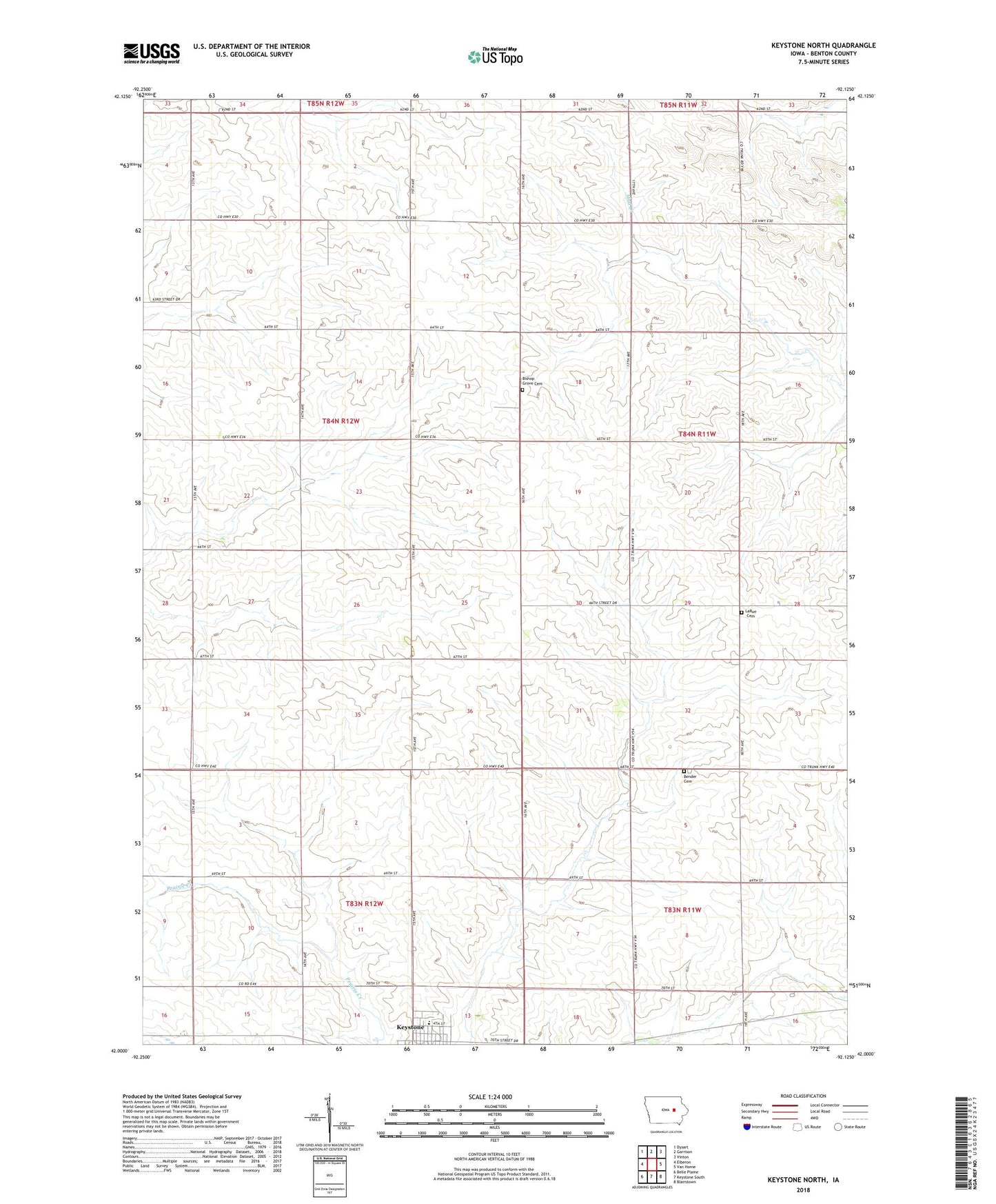
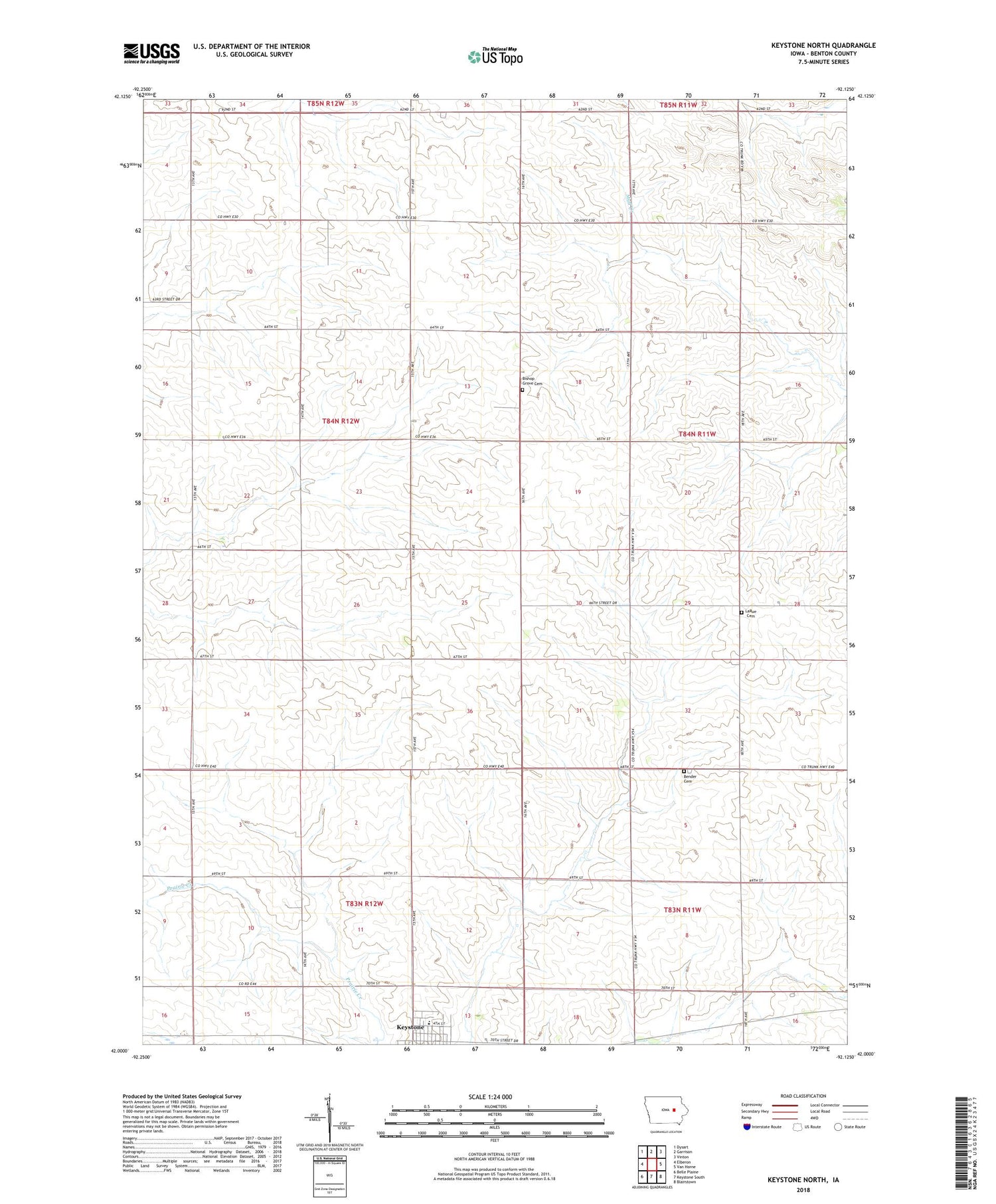
Keystone North Iowa US Topo Map
Couldn't load pickup availability
2022 topographic map quadrangle Keystone North in the state of Iowa. Scale: 1:24000. Based on the newly updated USGS 7.5' US Topo map series, this map is in the following counties: Benton. The map contains contour data, water features, and other items you are used to seeing on USGS maps, but also has updated roads and other features. This is the next generation of topographic maps. Printed on high-quality waterproof paper with UV fade-resistant inks.
Quads adjacent to this one:
West: Elberon
Northwest: Dysart
North: Garrison
Northeast: Vinton
East: Van Horne
Southeast: Blairstown
South: Keystone South
Southwest: Belle Plaine
This map covers the same area as the classic USGS quad with code o42092a2.
Contains the following named places: Bender Cemetery, Bishop Grove Cemetery, Homer Townhall, Keystone Elementary School, Keystone Family Practice Center, Keystone Nurse Care Center, LaRue Cemetery, Rogersville, Rogerville Post Office, Saint John's Lutheran Church, Township of Homer, ZIP Code: 52249