MyTopo
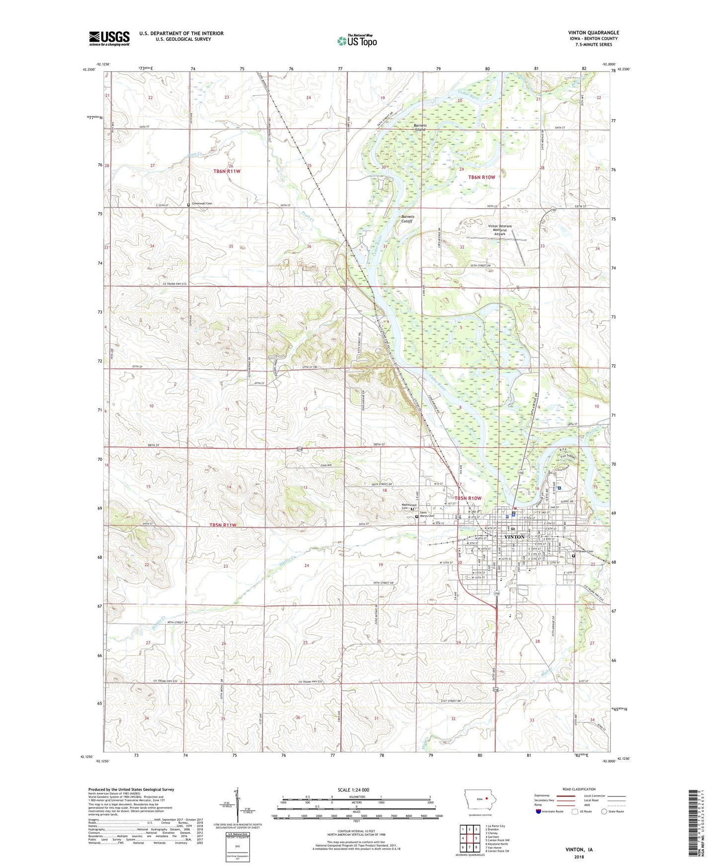
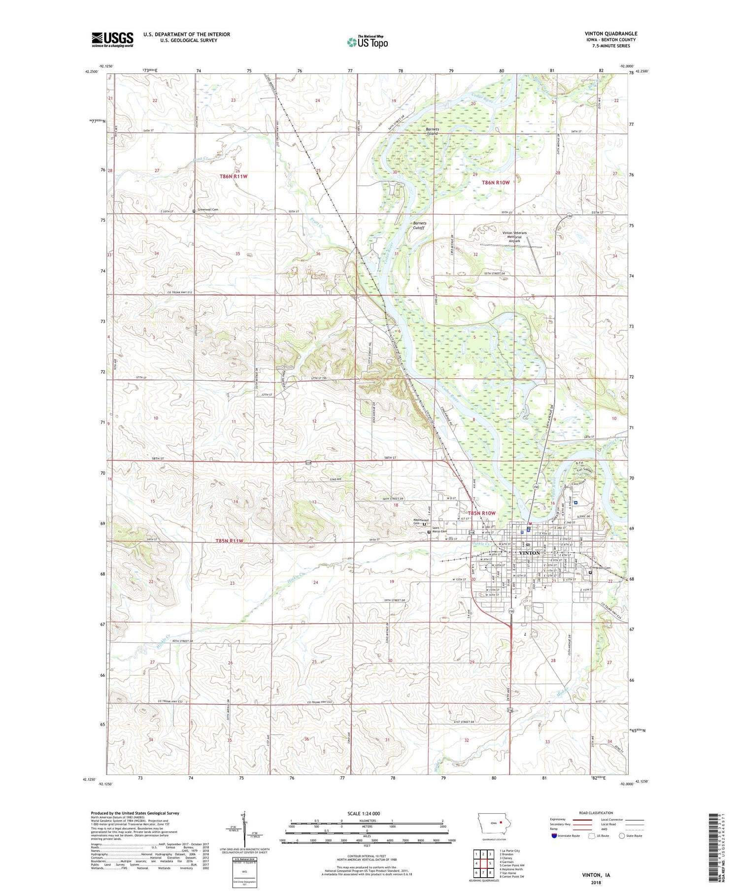
Vinton Iowa US Topo Map
Couldn't load pickup availability
2022 topographic map quadrangle Vinton in the state of Iowa. Scale: 1:24000. Based on the newly updated USGS 7.5' US Topo map series, this map is in the following counties: Benton. The map contains contour data, water features, and other items you are used to seeing on USGS maps, but also has updated roads and other features. This is the next generation of topographic maps. Printed on high-quality waterproof paper with UV fade-resistant inks.
Quads adjacent to this one:
West: Garrison
Northwest: La Porte City
North: Brandon
Northeast: Cheney
East: Center Point NW
Southeast: Center Point SW
South: Van Horne
Southwest: Keystone North
This map covers the same area as the classic USGS quad with code o42092b1.
Contains the following named places: Anderson Park, Assembly of God Church, Barnets Cutoff, Barnets Island, Bear Creek, Benton County Courthouse, Benton County Fairgrounds, Benton County Jail, Benton County Sheriff's Office, Benton County Speedway, Bethlehem Evangelical Lutheran Church, City of Vinton, Dudgeon Lake State Wildlife Mgt Area, East School, Evergreen Cemetery, Faith Independent Baptist Church, First Baptist Church, First Christian Church, Greenwalt Cemetery, Harvest Foursquare Church, Hinkle Creek, Horridge House, Iowa Braille School, Jackson Township Wildlife Area, Kingdom Hall, Lincoln Elementary School, Maplewood Cemetery, Milroy Access Area, North Benton Ambulance, Prairie Creek, Pratt Creek, Presbyterian Church, Ray House, Red Fox Wildlife Area, Riverside Park, Saint Marys Cemetery, Saint Marys Church, Tilford Elementary School, Township of Jackson, Township of Taylor, Trinity Lutheran Church, Vinton, Vinton - Shellsburg High School, Vinton - Shellsburg Middle School, Vinton Country Club, Vinton Family Practice Center, Vinton Fire Department, Vinton Lutheran Home, Vinton Police Department, Vinton Post Office, Vinton Public Library, Vinton Railroad Depot and Museum, Vinton Veterans Memorial Airpark, Virginia Gay Hospital, Virginia Gay Hospital Heliport, Virginia Gay Hospital Home, Wesley United Methodist Church, West School, ZIP Code: 52349


