MyTopo
Manning SE Iowa US Topo Map
Couldn't load pickup availability
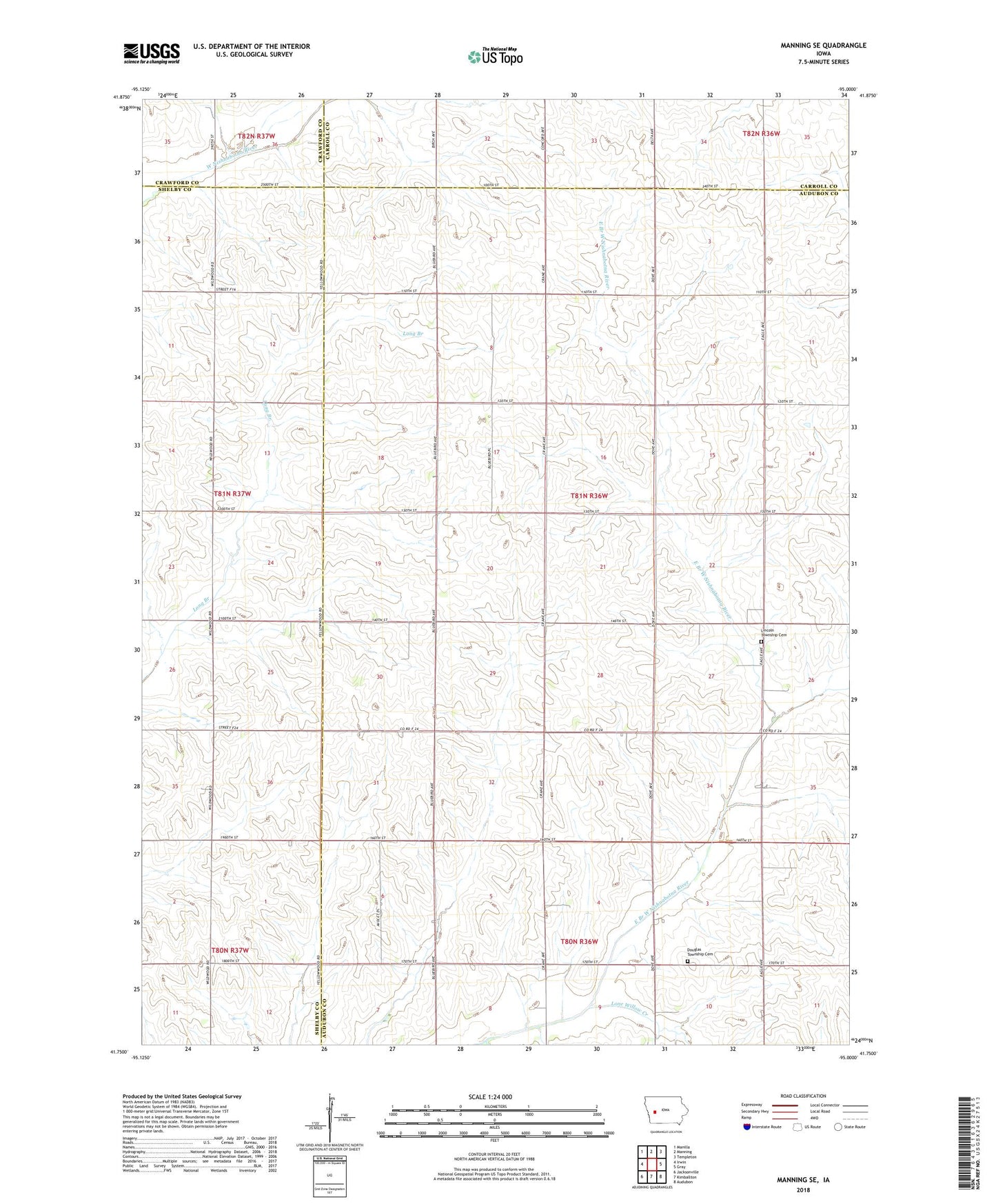
2022 topographic map quadrangle Manning SE in the state of Iowa. Scale: 1:24000. Based on the newly updated USGS 7.5' US Topo map series, this map is in the following counties: Audubon, Shelby, Carroll, Crawford. The map contains contour data, water features, and other items you are used to seeing on USGS maps, but also has updated roads and other features. This is the next generation of topographic maps. Printed on high-quality waterproof paper with UV fade-resistant inks.
Quads adjacent to this one:
West: Irwin
Northwest: Manilla
North: Manning
Northeast: Templeton
East: Gray
Southeast: Audubon
South: Kimballton
Southwest: Jacksonville
This map covers the same area as the classic USGS quad with code o41095g1.
Contains the following named places: Douglas Township Cemetery, Lincoln Township Cemetery, Lone Willow Creek, Paup Hog Farm, Township of Lincoln