MyTopo
Norwalk Iowa US Topo Map
Couldn't load pickup availability
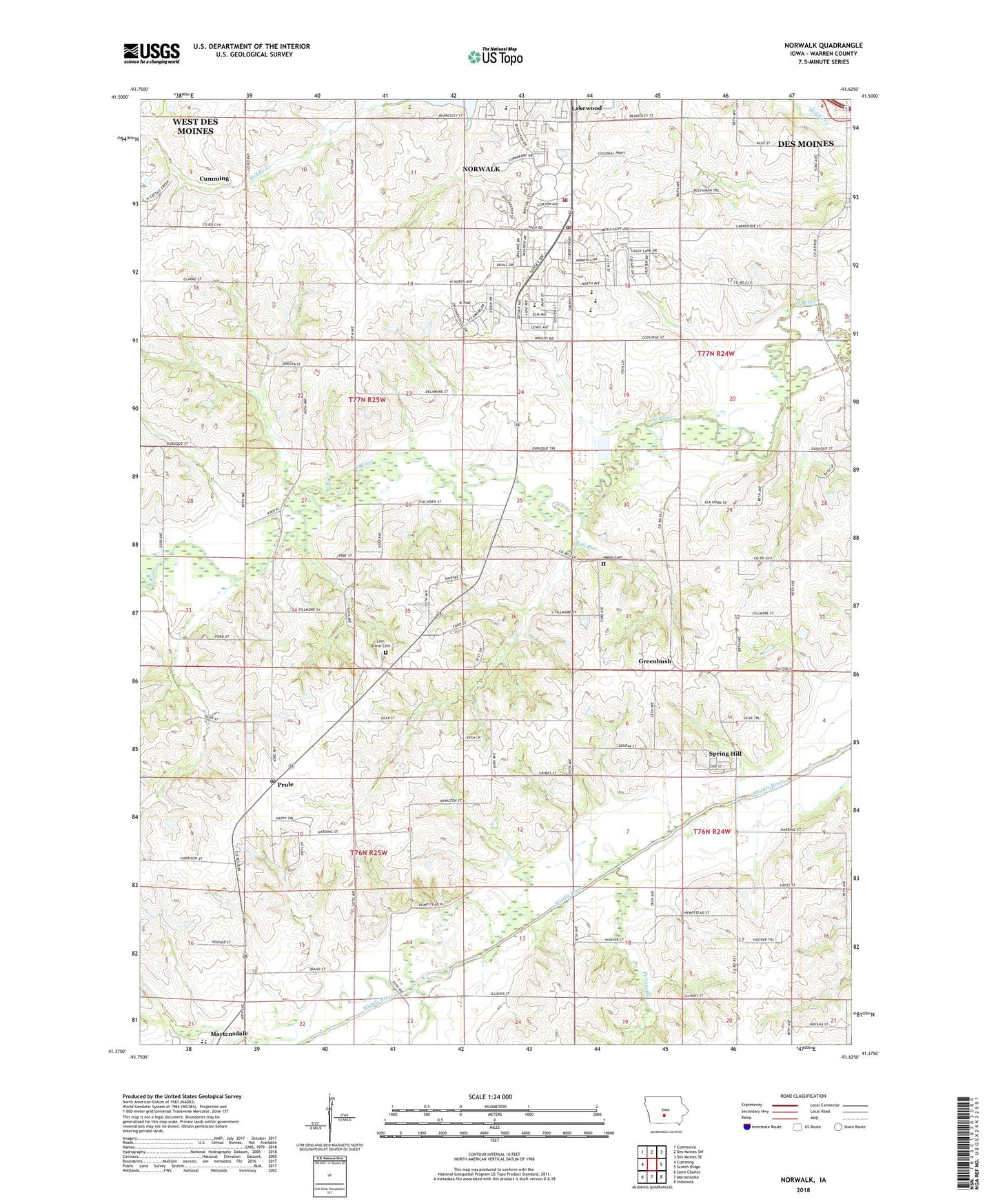
2022 topographic map quadrangle Norwalk in the state of Iowa. Scale: 1:24000. Based on the newly updated USGS 7.5' US Topo map series, this map is in the following counties: Warren. The map contains contour data, water features, and other items you are used to seeing on USGS maps, but also has updated roads and other features. This is the next generation of topographic maps. Printed on high-quality waterproof paper with UV fade-resistant inks.
Quads adjacent to this one:
West: Cumming
Northwest: Commerce
North: Des Moines SW
Northeast: Des Moines SE
East: Scotch Ridge
Southeast: Indianola
South: Martensdale
Southwest: Saint Charles
This map covers the same area as the classic USGS quad with code o41093d6.
Contains the following named places: Assumption Church, Badger Creek, Brownie Park, Bull Run, Christ Our Savior Lutheran Church, City of Norwalk, City of Spring Hill, Countryside Golf Course, East Elementary School, Fellowship Community Church, Felters Branch, First Baptist Church, Greenbush, Haskin Chiropractic Clinic, KWKY-AM (Des Moines), Lakewood Elementary School, Lida, Lida Post Office, Linn Grove Cemetery, Linn Grove Church, Loretto Post Office, Lothrop, Lothrop Post Office, Lynn Post Office, Martensdale - Saint Marys Elementary School, Martensdale - Saint Marys Junior / Senior High School, McDonald Woods Park, Mercy Norwalk Medical Clinic, Northern Warren Fire Department, Norwalk, Norwalk Aquatic Center, Norwalk Christian Church, Norwalk City Hall, Norwalk City Park, Norwalk Easter Public Library, Norwalk Eastview 8 / 9 School, Norwalk Family Physicians Center, Norwalk Fire and Rescue Department, Norwalk Foursquare Church, Norwalk Healthcare Center, Norwalk High School, Norwalk Middle School, Norwalk Police Department, Norwalk Post Office, Norwalk United Methodist Church, Optometric Associates Center of Warren County, Oviatt Elementary School, Prole, Prole Post Office, Regency Care Center, Rolling Hills Golf Course, Spring Hill, Spring Hill Post Office, Spring Hill School, Sunset Dental Professionals Building, The Legacy Golf Course, Township of Jefferson, Township of Linn, Webb Cemetery, Windflower Park, Zo-el Annett Woods State Area, ZIP Code: 50211


