MyTopo
Plessis Iowa US Topo Map
Couldn't load pickup availability
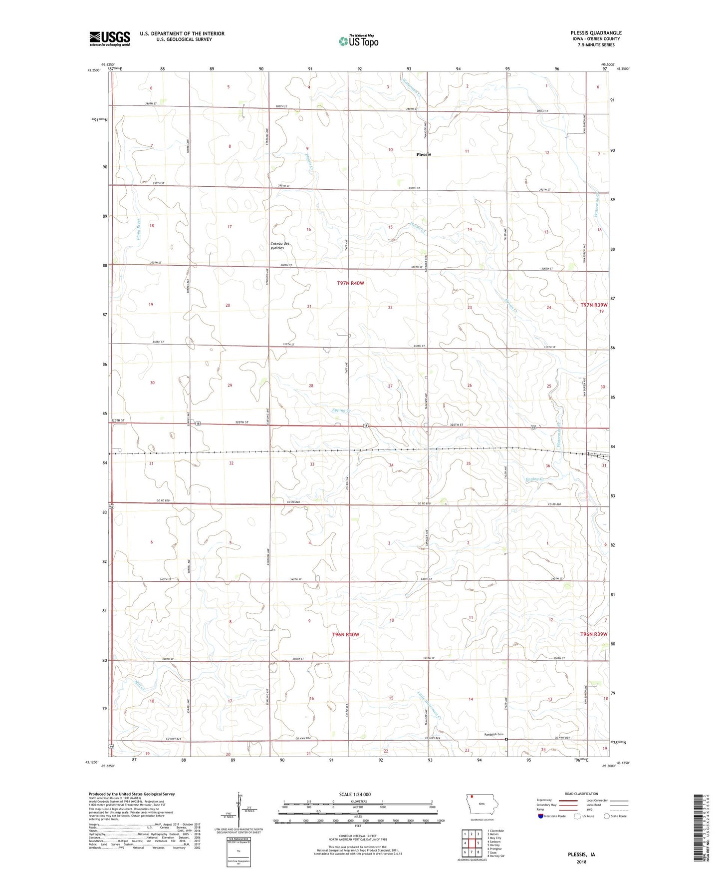
2022 topographic map quadrangle Plessis in the state of Iowa. Scale: 1:24000. Based on the newly updated USGS 7.5' US Topo map series, this map is in the following counties: O'Brien. The map contains contour data, water features, and other items you are used to seeing on USGS maps, but also has updated roads and other features. This is the next generation of topographic maps. Printed on high-quality waterproof paper with UV fade-resistant inks.
Quads adjacent to this one:
West: Sanborn
Northwest: Cloverdale
North: Melvin
Northeast: May City
East: Hartley
Southeast: Hartley SW
South: Gaza
Southwest: Primghar
This map covers the same area as the classic USGS quad with code o43095b5.
Contains the following named places: A B C Farms, Epping Creek, Max, Max Post Office, Pleissis Elevator Incorporated Elevator, Plessis, Plessis Creek, Plessis Posot Office, Randolph Cemetery, Township of Center, Township of Lincoln, Van Ess Dairy