MyTopo
Saint Charles NW Iowa US Topo Map
Couldn't load pickup availability
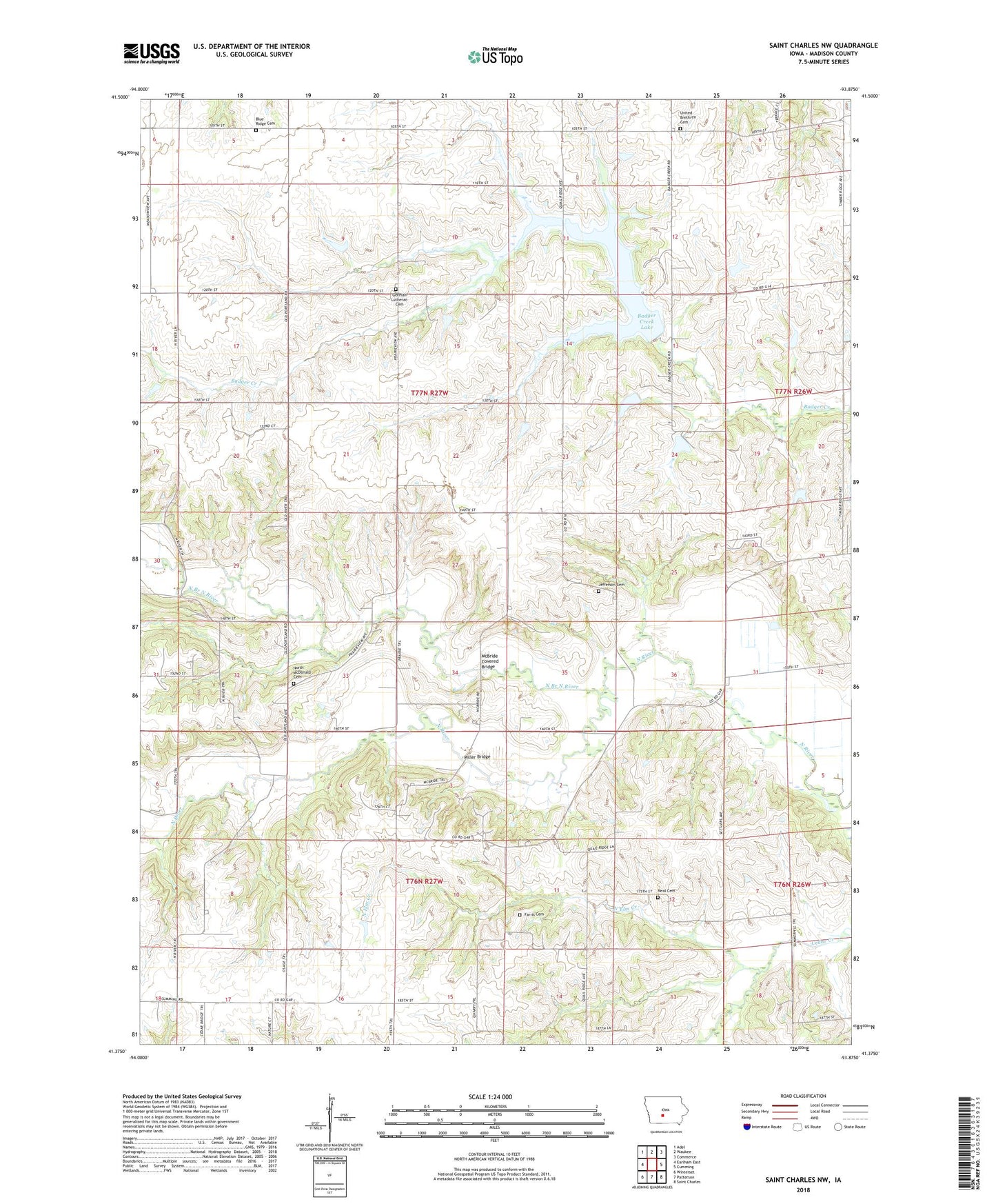
2022 topographic map quadrangle Saint Charles NW in the state of Iowa. Scale: 1:24000. Based on the newly updated USGS 7.5' US Topo map series, this map is in the following counties: Madison. The map contains contour data, water features, and other items you are used to seeing on USGS maps, but also has updated roads and other features. This is the next generation of topographic maps. Printed on high-quality waterproof paper with UV fade-resistant inks.
Quads adjacent to this one:
West: Earlham East
Northwest: Adel
North: Waukee
Northeast: Commerce
East: Cumming
Southeast: Saint Charles
South: Patterson
Southwest: Winterset
This map covers the same area as the classic USGS quad with code o41093d8.
Contains the following named places: Badger Creek State Recreation Area, Bennett - North River Stone School, Bloomingdale Post Office, Farris Cemetery, German Lutheran Cemetery, Gilpin Post Office, Groth's Gardens, Jefferson Cemetery, Jefferson Church, KTDG-FM (Winterset), McBride, McBride Covered Bridge, McBride Post Office, Miller Bridge, Neal Cemetery, North Branch North River, North Elm Creek, North McDonald Cemetery, North River Church, Payton Cemetery, Township of Jefferson, Trinity Church, United Brethren Cemetery, ZIP Code: 50261