MyTopo
Sheldon SE Iowa US Topo Map
Couldn't load pickup availability
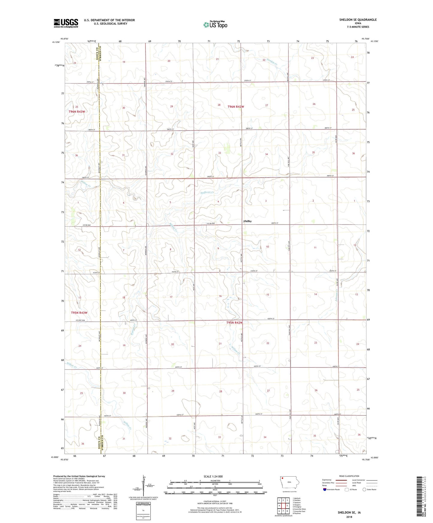
2022 topographic map quadrangle Sheldon SE in the state of Iowa. Scale: 1:24000. Based on the newly updated USGS 7.5' US Topo map series, this map is in the following counties: O'Brien, Sioux. The map contains contour data, water features, and other items you are used to seeing on USGS maps, but also has updated roads and other features. This is the next generation of topographic maps. Printed on high-quality waterproof paper with UV fade-resistant inks.
Quads adjacent to this one:
West: Hospers
Northwest: Matlock
North: Sheldon
Northeast: Sanborn
East: Primghar
Southeast: Paullina
South: Granville East
Southwest: Granville West
This map covers the same area as the classic USGS quad with code o43095a7.
Contains the following named places: Baker Church, Philby, Philby Post Office, Roetzel Creek, Stofferan Creek, Township of Baker, Youngers Farm