MyTopo
Douglass Kansas US Topo Map
Couldn't load pickup availability
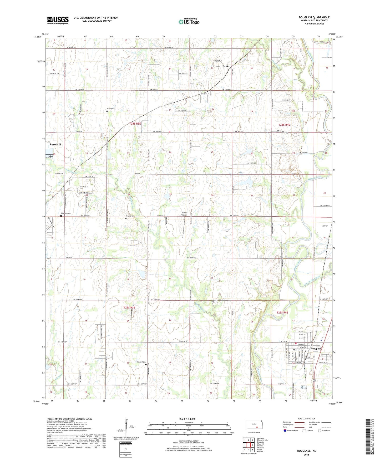
2022 topographic map quadrangle Douglass in the state of Kansas. Scale: 1:24000. Based on the newly updated USGS 7.5' US Topo map series, this map is in the following counties: Butler. The map contains contour data, water features, and other items you are used to seeing on USGS maps, but also has updated roads and other features. This is the next generation of topographic maps. Printed on high-quality waterproof paper with UV fade-resistant inks.
Quads adjacent to this one:
West: Rose Hill
Northwest: Andover
North: Santa Fe Lake
Northeast: Augusta
East: Gordon
Southeast: Wilmot
South: Udall
Southwest: Mulvane
This map covers the same area as the classic USGS quad with code o37097e1.
Contains the following named places: Aral, Butler Airpark, Butler County Fire District 3 Station 2, Butler County Fire District 8 - Douglass, Church of Christ, City of Douglass, Douglas City Hall, Douglas Elementary School, Douglas United Methodist Church, Douglas Wastewater Treatment Facility, Douglass, Douglass High School, Douglass Historical Museum, Douglass Post Office, Douglass Public Library, Douglass Senior Center, Douglass United School District 396 Police Department, Dunlap Cemetery, First Baptist Church, First Christian Church, Floral School, Flying H Ranch Airport, Fourmile Creek, Friends Cemetery, Leonard C. Seal Elementary School, Little Walnut River, Marvin Sisk Middle School, Richland Cemetery, Richland School, Rose Hill Cemetery, Rose Hill Friends Church, Rose Hill Wastewater Treatment Facility, Salter, Sunset 77 Mobile Home Park, Township of Pleasant, Township of Richland, ZIP Code: 67133