MyTopo
Gordon Kansas US Topo Map
Couldn't load pickup availability
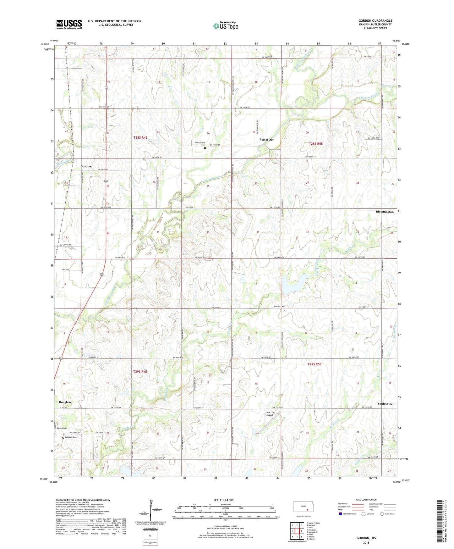
2022 topographic map quadrangle Gordon in the state of Kansas. Scale: 1:24000. Based on the newly updated USGS 7.5' US Topo map series, this map is in the following counties: Butler. The map contains contour data, water features, and other items you are used to seeing on USGS maps, but also has updated roads and other features. This is the next generation of topographic maps. Printed on high-quality waterproof paper with UV fade-resistant inks.
Quads adjacent to this one:
West: Douglass
Northwest: Santa Fe Lake
North: Augusta
Northeast: Leon
East: Augusta SE
Southeast: Atlanta
South: Wilmot
Southwest: Udall
This map covers the same area as the classic USGS quad with code o37096e8.
Contains the following named places: Alley Field, Bannon Field, Bois d' Arc, Cumberland Church, Douglass Cemetery, Douglass Oil Field, Gordon, Hickory Creek, High Prairie Cemetery, Little Walnut Cemetery, LMN 120 Airport, Muddy Creek Oil Field, Numa, Smileyville, Township of Bloomington, Township of Douglass, Township of Rock Creek, Township of Walnut, Webster Church, ZIP Code: 67039