MyTopo
Elmdale Kansas US Topo Map
Couldn't load pickup availability
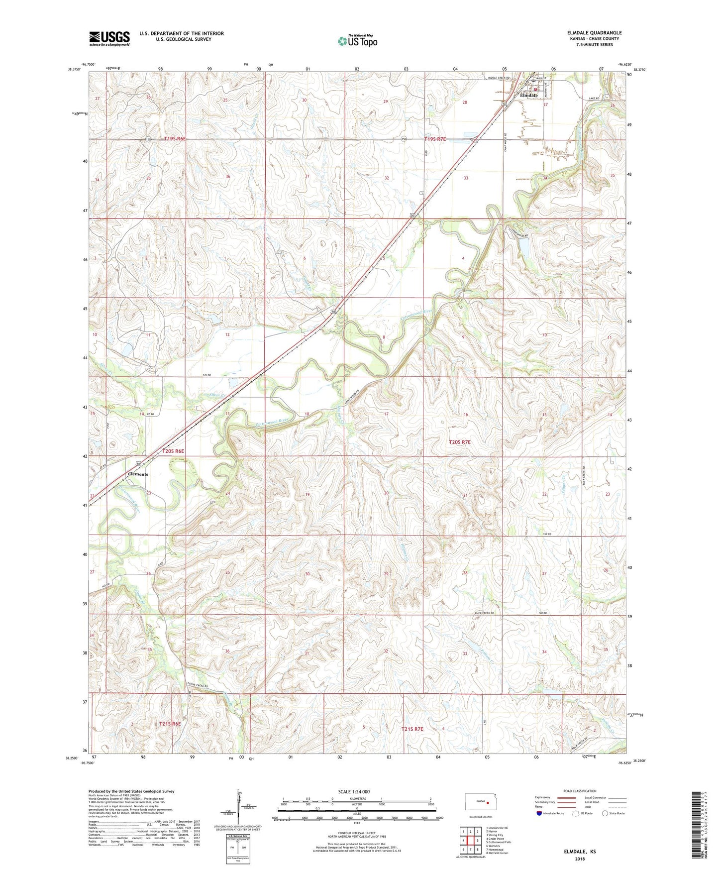
2022 topographic map quadrangle Elmdale in the state of Kansas. Scale: 1:24000. Based on the newly updated USGS 7.5' US Topo map series, this map is in the following counties: Chase. The map contains contour data, water features, and other items you are used to seeing on USGS maps, but also has updated roads and other features. This is the next generation of topographic maps. Printed on high-quality waterproof paper with UV fade-resistant inks.
Quads adjacent to this one:
West: Cedar Point
Northwest: Lincolnville NE
North: Hymer
Northeast: Strong City
East: Cottonwood Falls
Southeast: Matfield Green
South: Homestead
Southwest: Wonsevu
This map covers the same area as the classic USGS quad with code o38096c6.
Contains the following named places: Camp Wood, Chase County Rural Fire Department Elmdale Station, City of Elmdale, Clements, Clements School, Coyne Branch, Elmdale, Elmdale Post Office, Elmdale United Methodist Church, Elmdale Wastewater Plant, Flying W Ranch, Gould Creek, Holmes Creek, Silver Creek, Township of Cottonwood