MyTopo
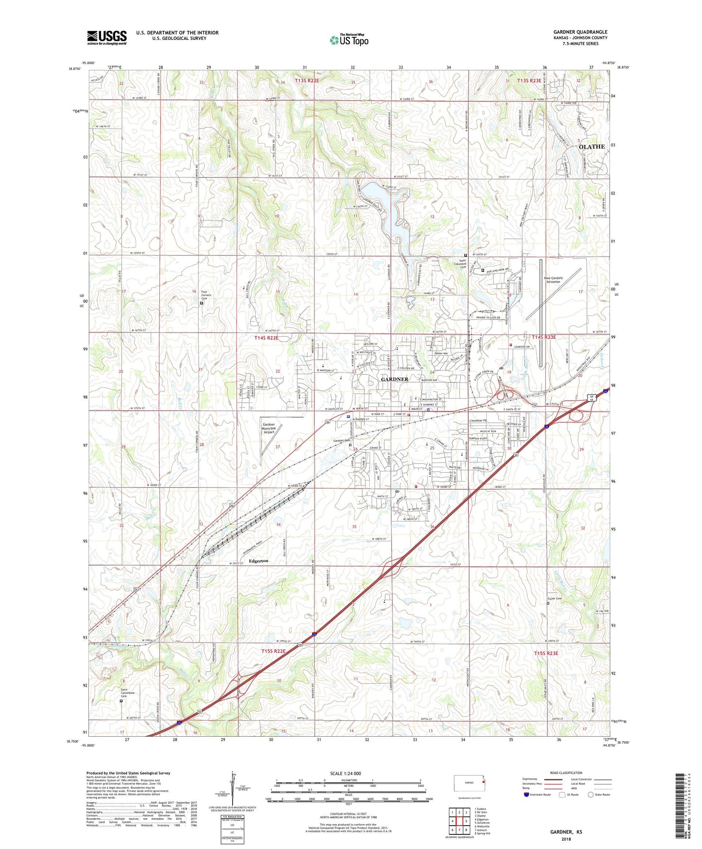
Gardner Kansas US Topo Map
Couldn't load pickup availability
2022 topographic map quadrangle Gardner in the state of Kansas. Scale: 1:24000. Based on the newly updated USGS 7.5' US Topo map series, this map is in the following counties: Johnson. The map contains contour data, water features, and other items you are used to seeing on USGS maps, but also has updated roads and other features. This is the next generation of topographic maps. Printed on high-quality waterproof paper with UV fade-resistant inks.
Quads adjacent to this one:
West: Edgerton
Northwest: Eudora
North: De Soto
Northeast: Olathe
East: Ocheltree
Southeast: Spring Hill
South: Antioch
Southwest: Wellsville
This map covers the same area as the classic USGS quad with code o38094g8.
Contains the following named places: Brookside Park, Burbank Airport, Calvary Southern Baptist Church, City of Edgerton, City of Gardner, Conestoga Estates Mobile Home Park, Cornerstone Park, Edgerton Quarry, Four Corners Cemetery, Fuller Cemetery, Gardner, Gardner Animal Hospital, Gardner Area Chamber of Commerce, Gardner Bull Creek South Wastewater Treatment Facility, Gardner Cemetery, Gardner Church of Christ, Gardner Church of the Nazarene, Gardner City Dam, Gardner City Hall, Gardner City Lake, Gardner Edgerton High School, Gardner Edgerton Unified School District Offices, Gardner Elementary School, Gardner Friends Church, Gardner Golf Course, Gardner High School, Gardner Kill Creek Wastewater Treatment Facility, Gardner Lake, Gardner Lake Park, Gardner Library, Gardner Little Bull Creek Wastewater Treatment Facility, Gardner Municipal Airport, Gardner Municipal Airport Park, Gardner Police Department, Gardner Pool, Gardner Post Office, Gardner Public Safety Department Fire Station, Gardner Retail Plaza, Hermon Farm Airport, Johnson City Museum of History, Johnson County Fairgrounds, Johnson County Fire District 1 Station 122, Johnson County Fire District 1 Station 123, Johnson County Fire District 1 Station 3, Johnson County Jail, Johnson County Medical Action Station 132, Johnson County New Century - Little Bull Wastewater Treatment Facility, Johnson County Sheriffs Operation Center, Kate Industrial Park, King of Kings Lutheran Church, Lanesfield School, Lanesville School Historic Site, Madison Elementary School, Martin Creek, Meadowbrook Park, Meadowbrook Rehabilitation Hospital, Medicalodge of Gardner Nursing Home, Moonlight Business Center, Moonlight Business Park, Moonlight Commons Shopping Center, Moonlight Elementary School, Moonlight Plaza Shopping Center, New Century Adult Detention Center, New Century Aircenter, New Century Business Center, New Century Plaza Shopping Center, New Century Post Office, New Life Community Church, Nike Elementary School, Northwest Industrial Park, Olathe Air Force Station, Olathe Naval Air Station, Oxford School, Pentecostal Power House Church, Pioneer Ridge Middle School, Ponchos Mobile Home Park, Prairie Highlands Golf Course, Sacred Heart Catholic Church, Saint Columbia Cemetery, Saint Columbine Cemetery, Santa Fe Shops, Station Number 1, Station Number 2, Stone Creek Park, Sunflower Elementary School, Township of Gardner, Veterans Memorial Park, Veterans Park, Vintage Park of Gardner Assisted Living Facility, Westside Park, Wheatridge Middle School, Winwood Park, ZIP Codes: 66030, 66031


