MyTopo
Gridley SE Kansas US Topo Map
Couldn't load pickup availability
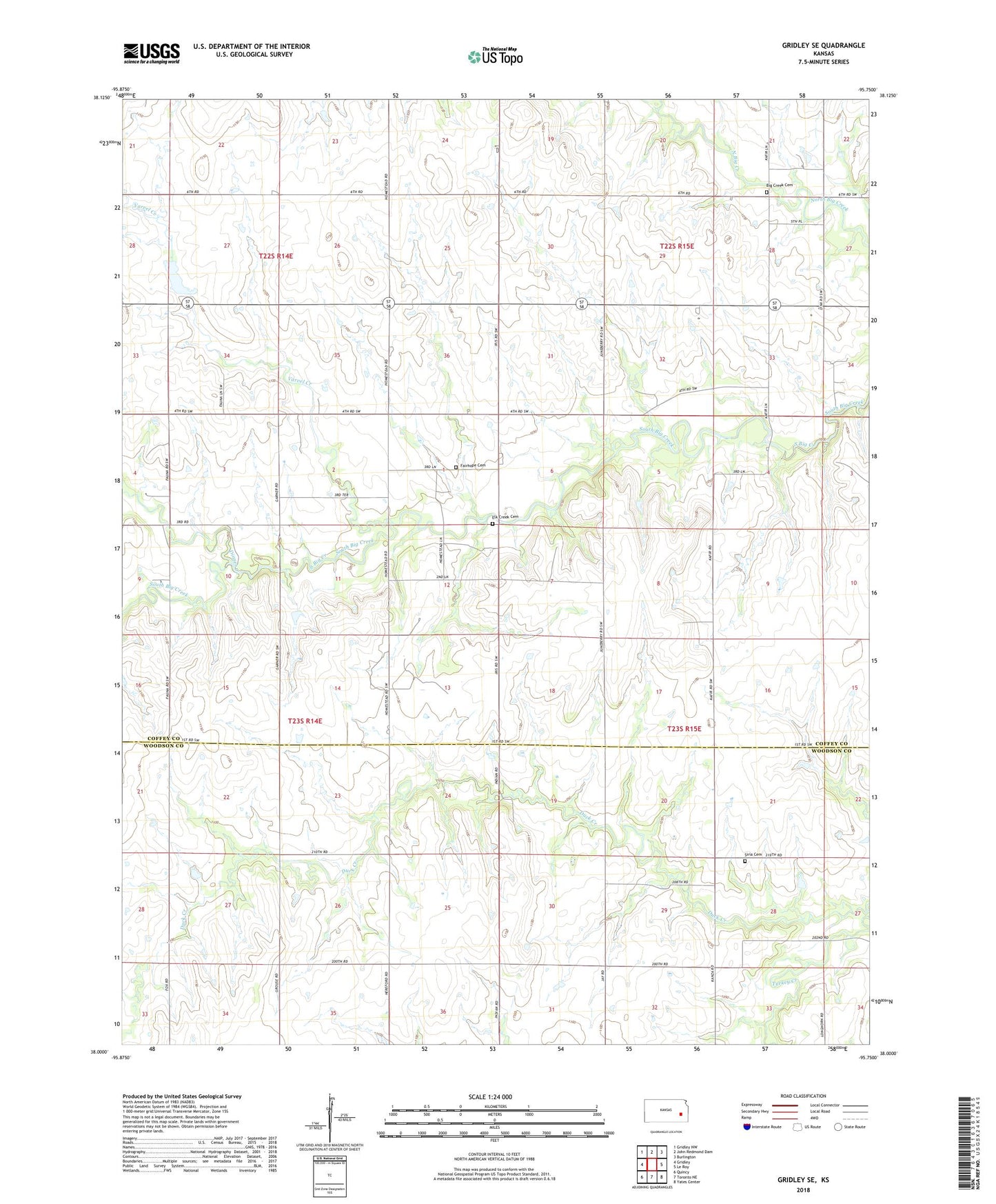
2022 topographic map quadrangle Gridley SE in the state of Kansas. Scale: 1:24000. Based on the newly updated USGS 7.5' US Topo map series, this map is in the following counties: Coffey, Woodson. The map contains contour data, water features, and other items you are used to seeing on USGS maps, but also has updated roads and other features. This is the next generation of topographic maps. Printed on high-quality waterproof paper with UV fade-resistant inks.
Quads adjacent to this one:
West: Gridley
Northwest: Gridley NW
North: John Redmond Dam
Northeast: Burlington
East: Le Roy
Southeast: Yates Center
South: Toronto NE
Southwest: Quincy
This map covers the same area as the classic USGS quad with code o38095a7.
Contains the following named places: Bell Racket School, Big Creek Cemetery, Byron School, Dinner Creek, Elk Creek Cemetery, Fairhope Cemetery, McMullen Airport, Pleasant Hill School, Siria Cemetery, Varvel Creek, Winterscheid Oil Field