MyTopo
Ionia Kansas US Topo Map
Couldn't load pickup availability
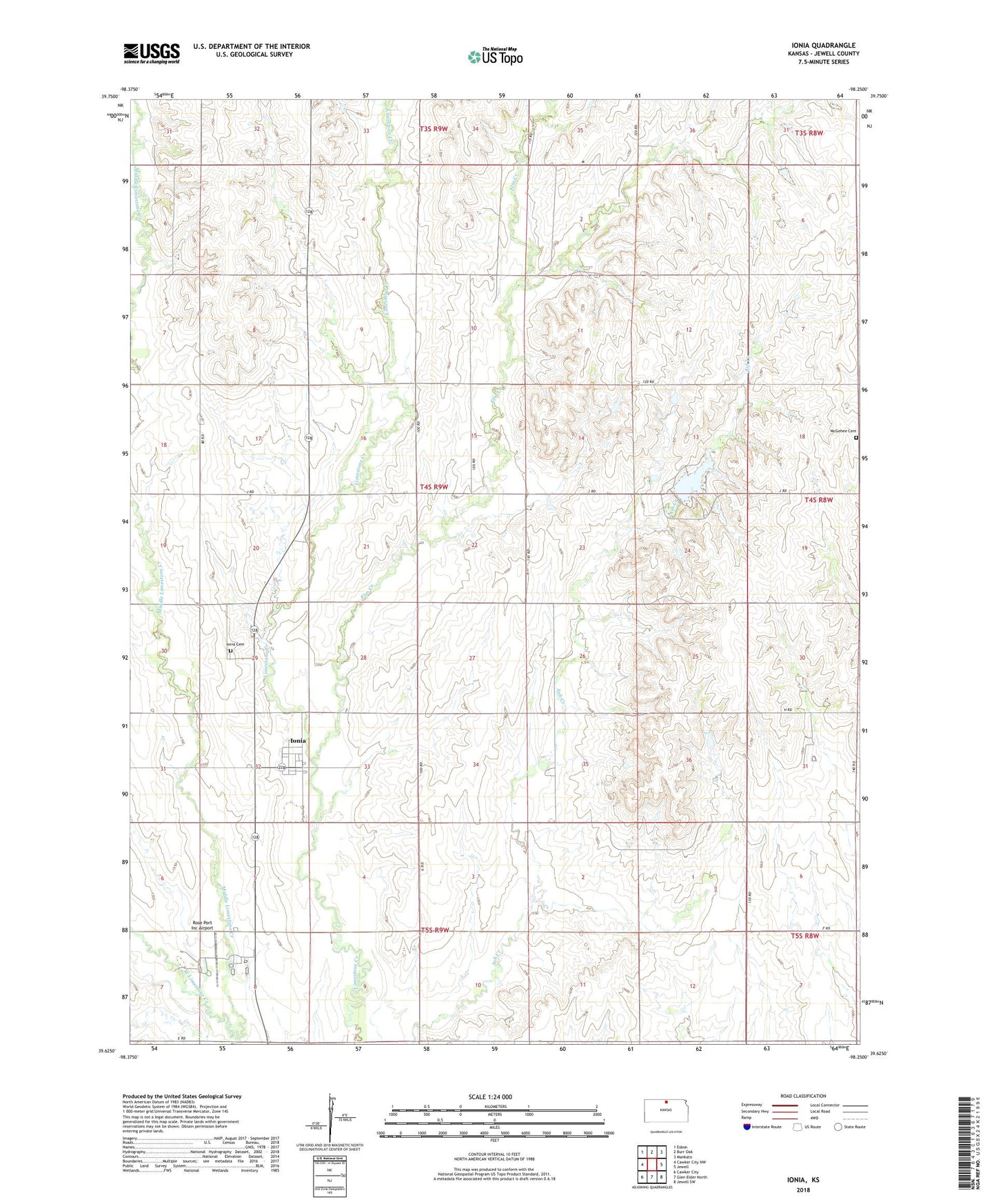
2022 topographic map quadrangle Ionia in the state of Kansas. Scale: 1:24000. Based on the newly updated USGS 7.5' US Topo map series, this map is in the following counties: Jewell. The map contains contour data, water features, and other items you are used to seeing on USGS maps, but also has updated roads and other features. This is the next generation of topographic maps. Printed on high-quality waterproof paper with UV fade-resistant inks.
Quads adjacent to this one:
West: Cawker City NW
Northwest: Esbon
North: Burr Oak
Northeast: Mankato
East: Jewell
Southeast: Jewell SW
South: Glen Elder North
Southwest: Cawker City
This map covers the same area as the classic USGS quad with code o39098f3.
Contains the following named places: Elm Creek, Ionia, Ionia Cemetery, Ionia Census Designated Place, Jewell County State Lake, Jewell County State Lake Dam, Jewell County State Park, McGehee Cemetery, Middle Limestone Creek, Rose Port Inc Airport, Township of Ionia