MyTopo
Kirwin SE Kansas US Topo Map
Couldn't load pickup availability
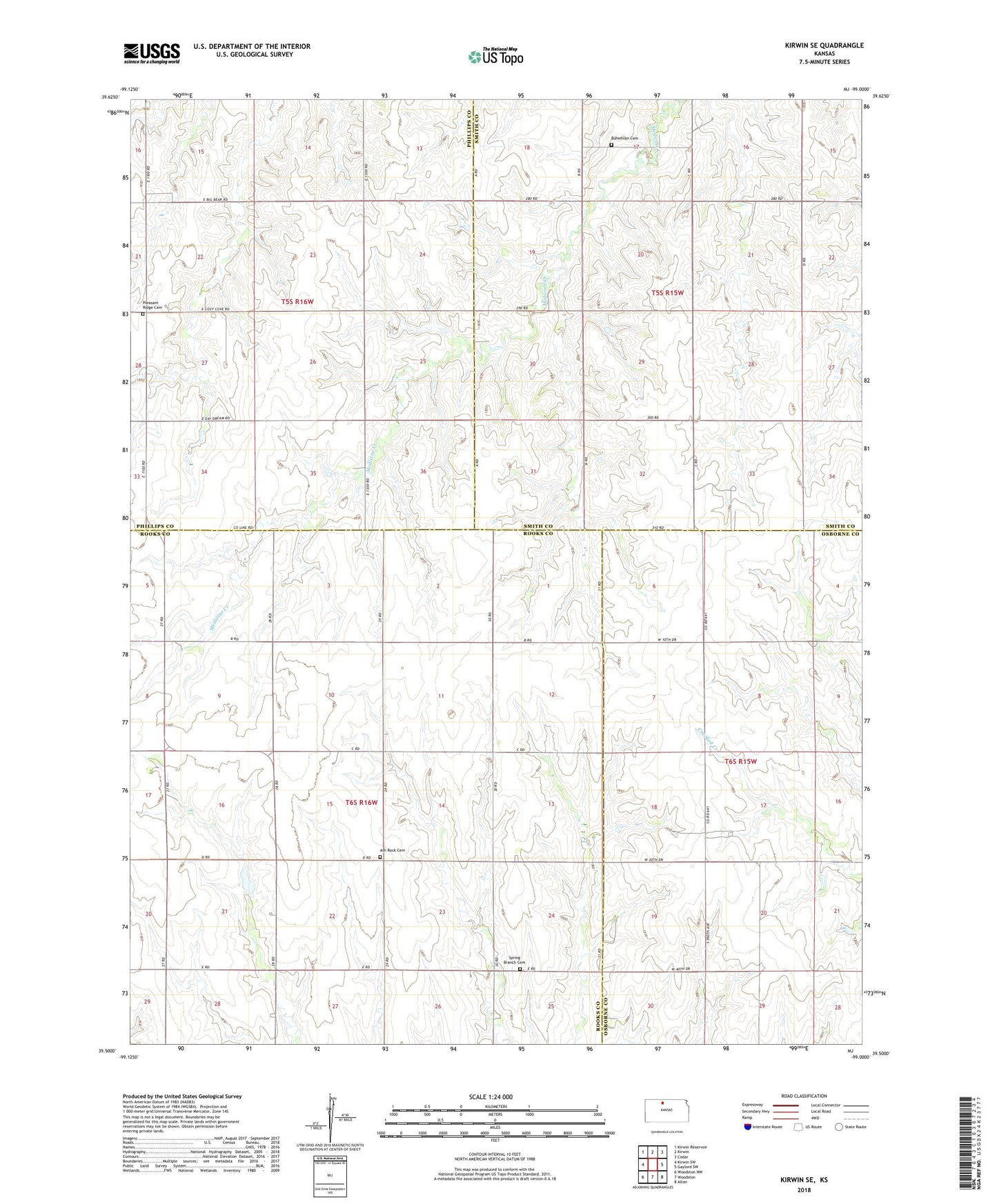
2022 topographic map quadrangle Kirwin SE in the state of Kansas. Scale: 1:24000. Based on the newly updated USGS 7.5' US Topo map series, this map is in the following counties: Rooks, Smith, Phillips, Osborne. The map contains contour data, water features, and other items you are used to seeing on USGS maps, but also has updated roads and other features. This is the next generation of topographic maps. Printed on high-quality waterproof paper with UV fade-resistant inks.
Quads adjacent to this one:
West: Kirwin SW
Northwest: Kirwin Reservoir
North: Kirwin
Northeast: Cedar
East: Gaylord SW
Southeast: Alton
South: Woodston
Southwest: Woodston NW
This map covers the same area as the classic USGS quad with code o39099e1.
Contains the following named places: Ash Rock Cemetery, Ash Rock Church, Ash Rock School, Bohemian Cemetery, Pleasant Ridge Cemetery, Spring Branch Cemetery, Township of Dor, Township of Valley