MyTopo
Lapland Kansas US Topo Map
Couldn't load pickup availability
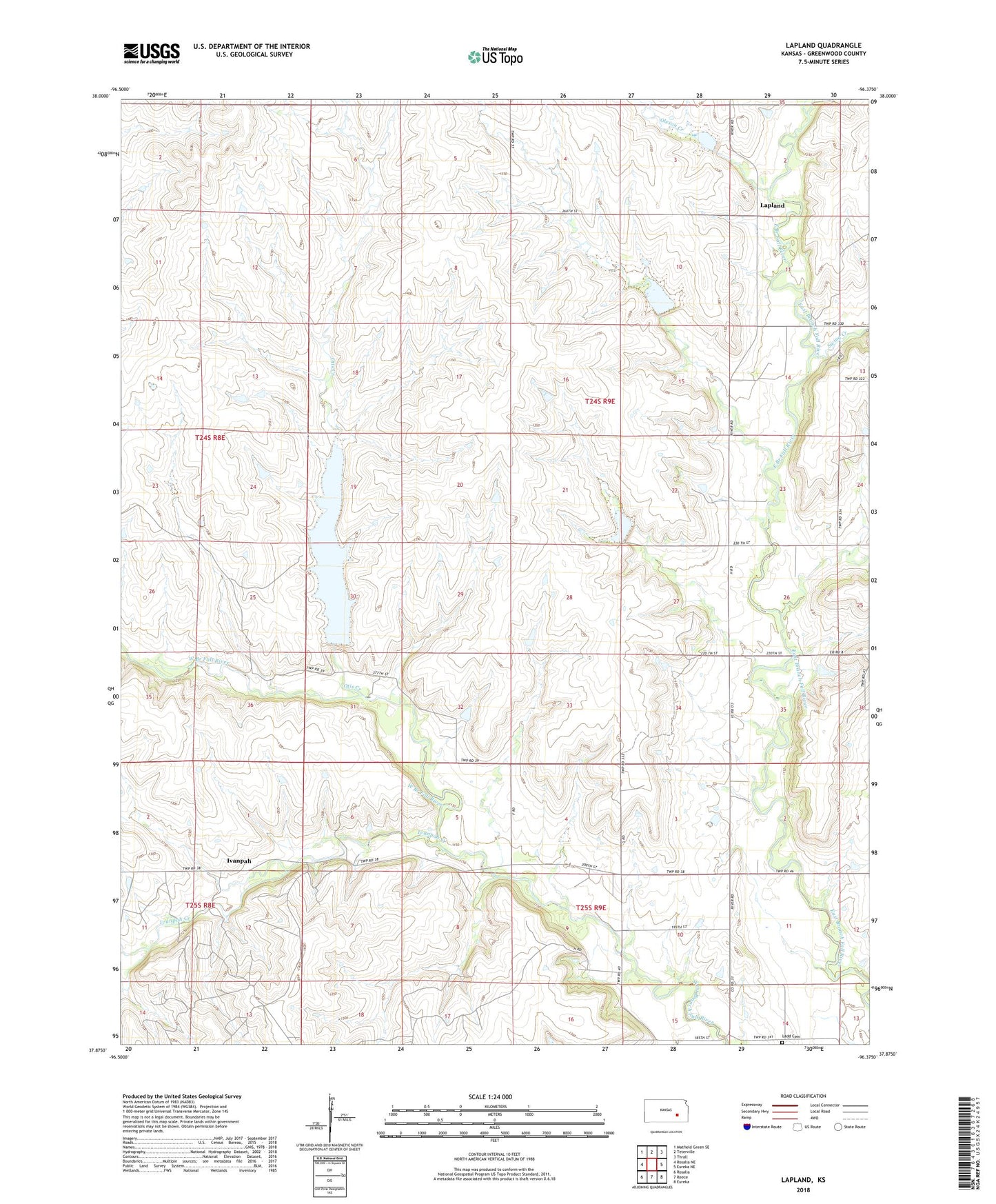
2022 topographic map quadrangle Lapland in the state of Kansas. Scale: 1:24000. Based on the newly updated USGS 7.5' US Topo map series, this map is in the following counties: Greenwood. The map contains contour data, water features, and other items you are used to seeing on USGS maps, but also has updated roads and other features. This is the next generation of topographic maps. Printed on high-quality waterproof paper with UV fade-resistant inks.
Quads adjacent to this one:
West: Rosalia NE
Northwest: Matfield Green SE
North: Teterville
Northeast: Thrall
East: Eureka NE
Southeast: Eureka
South: Reece
Southwest: Rosalia
This map covers the same area as the classic USGS quad with code o37096h4.
Contains the following named places: Ivanpah, Ivanpah Creek, Ladd Cemetery, Lapland, Oleson Creek, Otis Creek, Otis Creek Reservoir, Polhamas Oil Field, Swing Creek, Teichgraber Oil Field, Thrall-Aagard Oil Field, Township of South Salem, Upper Fall River Church, Wilkerson Oil Field