MyTopo
Rosalia Kansas US Topo Map
Couldn't load pickup availability
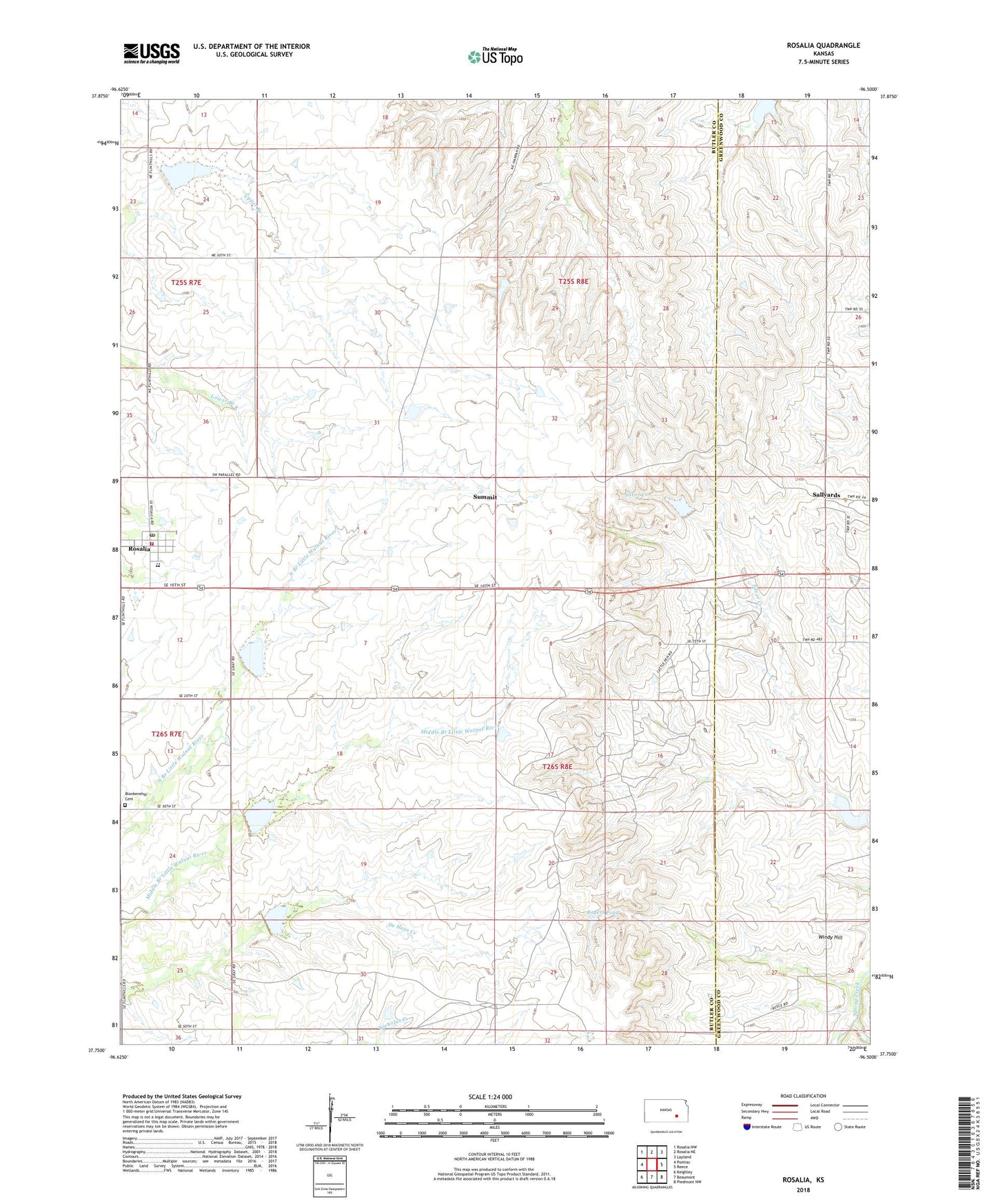
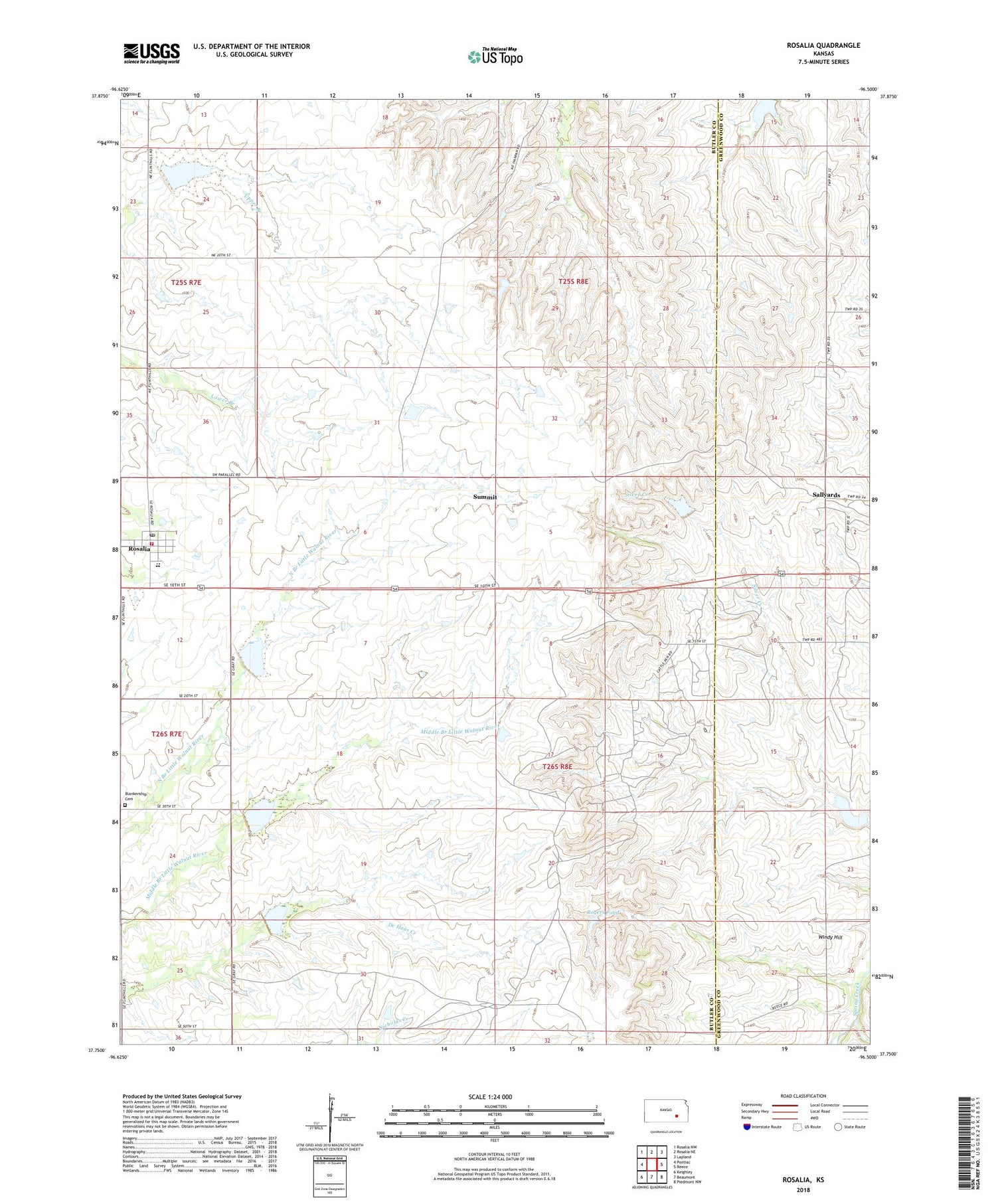
2022 topographic map quadrangle Rosalia in the state of Kansas. Scale: 1:24000. Based on the newly updated USGS 7.5' US Topo map series, this map is in the following counties: Butler, Greenwood. The map contains contour data, water features, and other items you are used to seeing on USGS maps, but also has updated roads and other features. This is the next generation of topographic maps. Printed on high-quality waterproof paper with UV fade-resistant inks.
Quads adjacent to this one:
West: Pontiac
Northwest: Rosalia NW
North: Rosalia NE
Northeast: Lapland
East: Reece
Southeast: Piedmont NW
South: Beaumont
Southwest: Keighley
This map covers the same area as the classic USGS quad with code o37096g5.
Contains the following named places: Blankenship Oil Field, Blankinship Cemetery, Butler County Fire District 5 Rosalia, Flinthills Intermediate School, Flinthills Middle / High School, Flinthills Middle School / High School, Jackson Oil Field, Rogers Pond, Rosalia, Rosalia Post Office, Rosalia United Methodist Church, Sallyards, Stanhope Oil Field, Summit, Township of Rosalia, Windy Hill, ZIP Code: 67132