MyTopo
Maple City Kansas US Topo Map
Couldn't load pickup availability
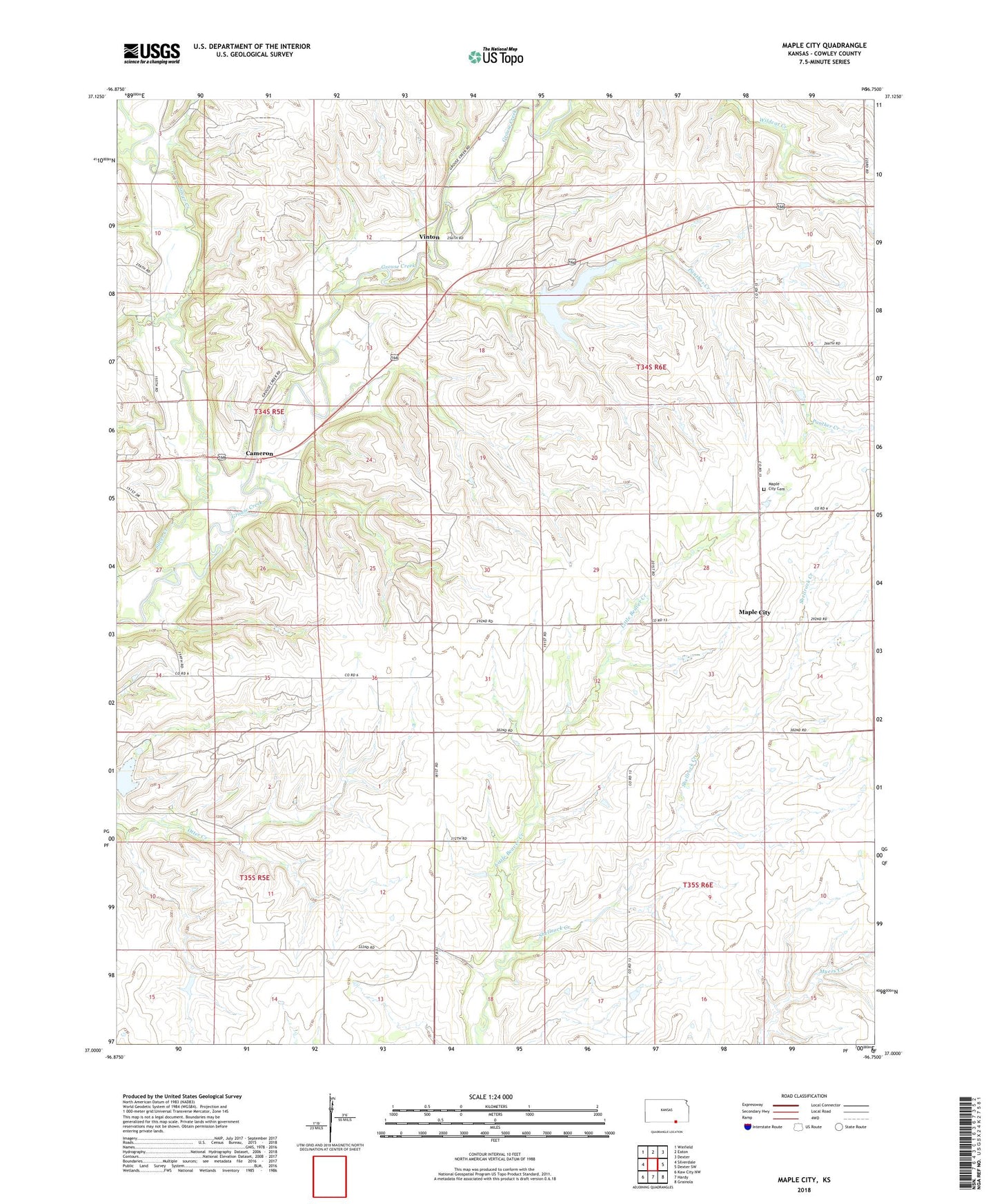
2022 topographic map quadrangle Maple City in the state of Kansas. Scale: 1:24000. Based on the newly updated USGS 7.5' US Topo map series, this map is in the following counties: Cowley. The map contains contour data, water features, and other items you are used to seeing on USGS maps, but also has updated roads and other features. This is the next generation of topographic maps. Printed on high-quality waterproof paper with UV fade-resistant inks.
Quads adjacent to this one:
West: Silverdale
Northwest: Winfield
North: Eaton
Northeast: Dexter
East: Dexter SW
Southeast: Grainola
South: Hardy
Southwest: Kaw City NW
This map covers the same area as the classic USGS quad with code o37096a7.
Contains the following named places: Albright Oil Field, Albright Switch, Cameron, Cowley County State Lake, Cowley County State Lake Dam, Cowley County State Park, Cowley State Fishing Lake, Maple City, Maple City Cemetery, Maple City Community Church, Otter Ridge School, Panther Creek, Rahn Oil Field, Shellrock Creek, Silver Creek, Township of Spring Creek, Vinton