MyTopo
South Haven NE Kansas US Topo Map
Couldn't load pickup availability
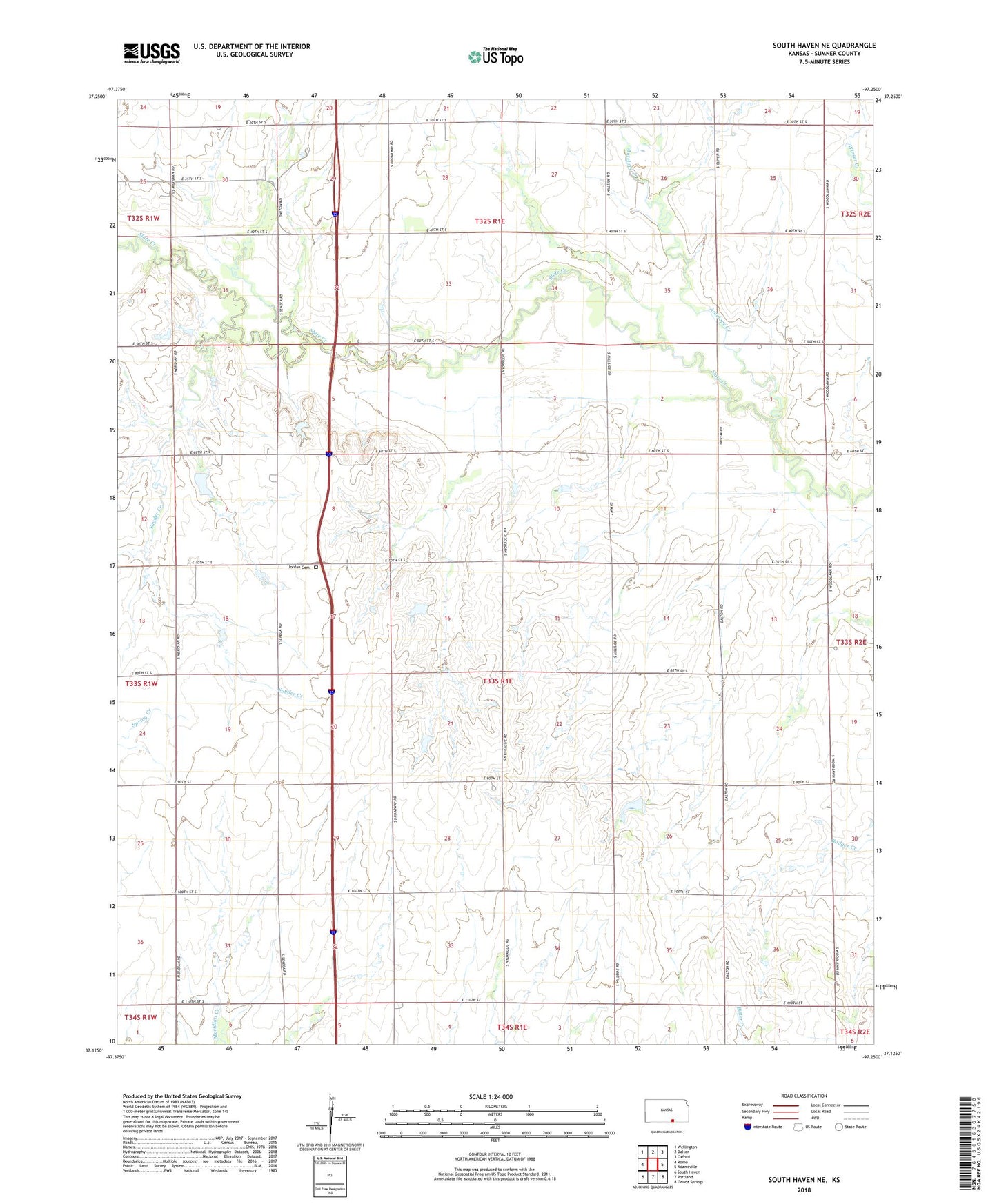
2022 topographic map quadrangle South Haven NE in the state of Kansas. Scale: 1:24000. Based on the newly updated USGS 7.5' US Topo map series, this map is in the following counties: Sumner. The map contains contour data, water features, and other items you are used to seeing on USGS maps, but also has updated roads and other features. This is the next generation of topographic maps. Printed on high-quality waterproof paper with UV fade-resistant inks.
Quads adjacent to this one:
West: Rome
Northwest: Wellington
North: Dalton
Northeast: Oxford
East: Adamsville
Southeast: Geuda Springs
South: Portland
Southwest: South Haven
This map covers the same area as the classic USGS quad with code o37097b3.
Contains the following named places: Antelope Creek, Avon School, Concord, Deer Creek, Jordan Cemetery, Knox, Matlock Plaza, Plainview School, Snyder Creek, Township of Greene, Union School