MyTopo
Stockton SW Kansas US Topo Map
Couldn't load pickup availability
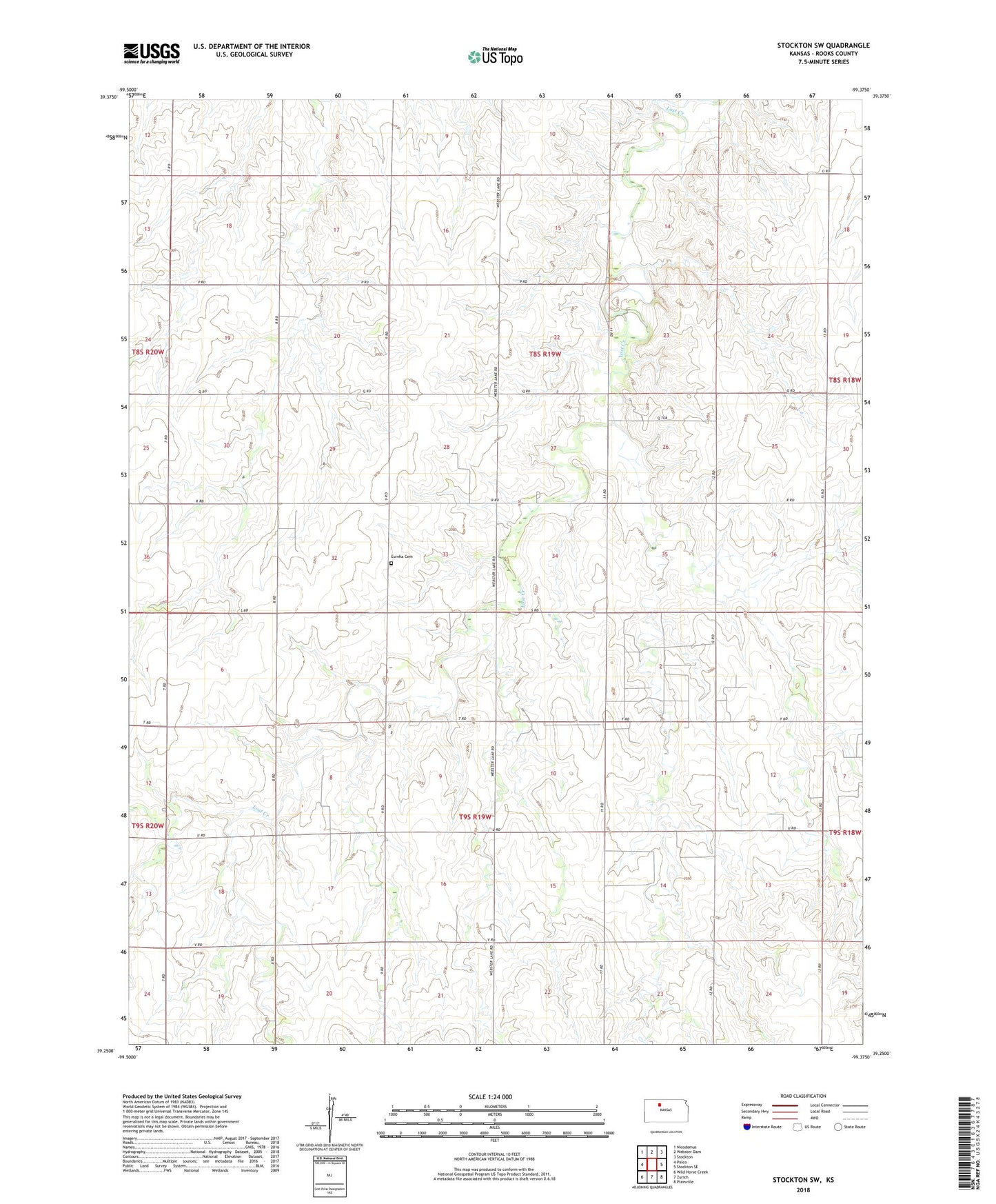
2022 topographic map quadrangle Stockton SW in the state of Kansas. Scale: 1:24000. Based on the newly updated USGS 7.5' US Topo map series, this map is in the following counties: Rooks. The map contains contour data, water features, and other items you are used to seeing on USGS maps, but also has updated roads and other features. This is the next generation of topographic maps. Printed on high-quality waterproof paper with UV fade-resistant inks.
Quads adjacent to this one:
West: Palco
Northwest: Nicodemus
North: Webster Dam
Northeast: Stockton
East: Stockton SE
Southeast: Plainville
South: Zurich
Southwest: Wild Horse Creek
This map covers the same area as the classic USGS quad with code o39099c4.
Contains the following named places: Barry Oil Field, Barry Southeast Oil Field, Baumgarten Oil Field, Chandler, Eureka Cemetery, Hayden Oil Field, Jelinek Oil Field, Webster Oil Field