MyTopo
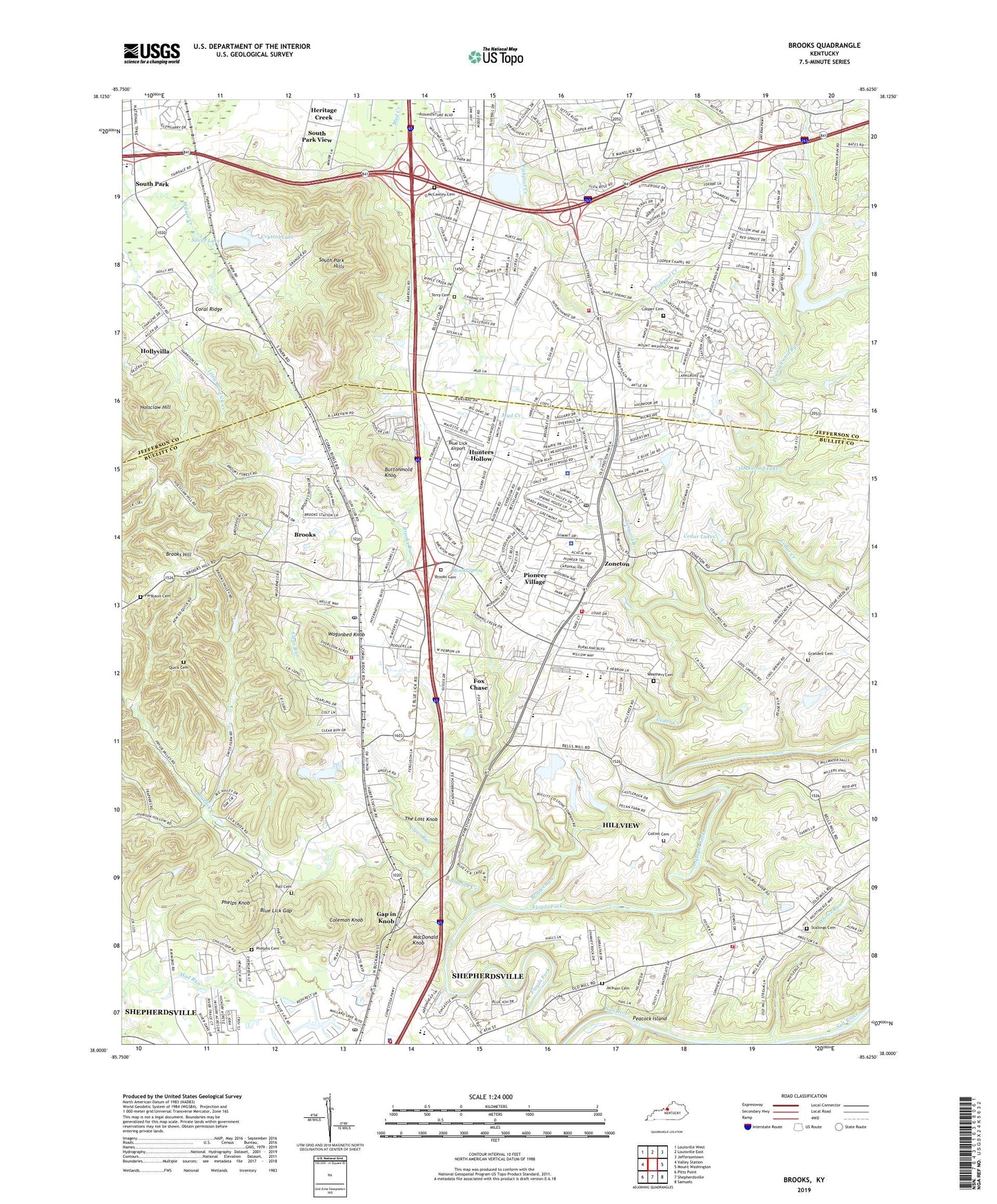
Brooks Kentucky US Topo Map
Couldn't load pickup availability
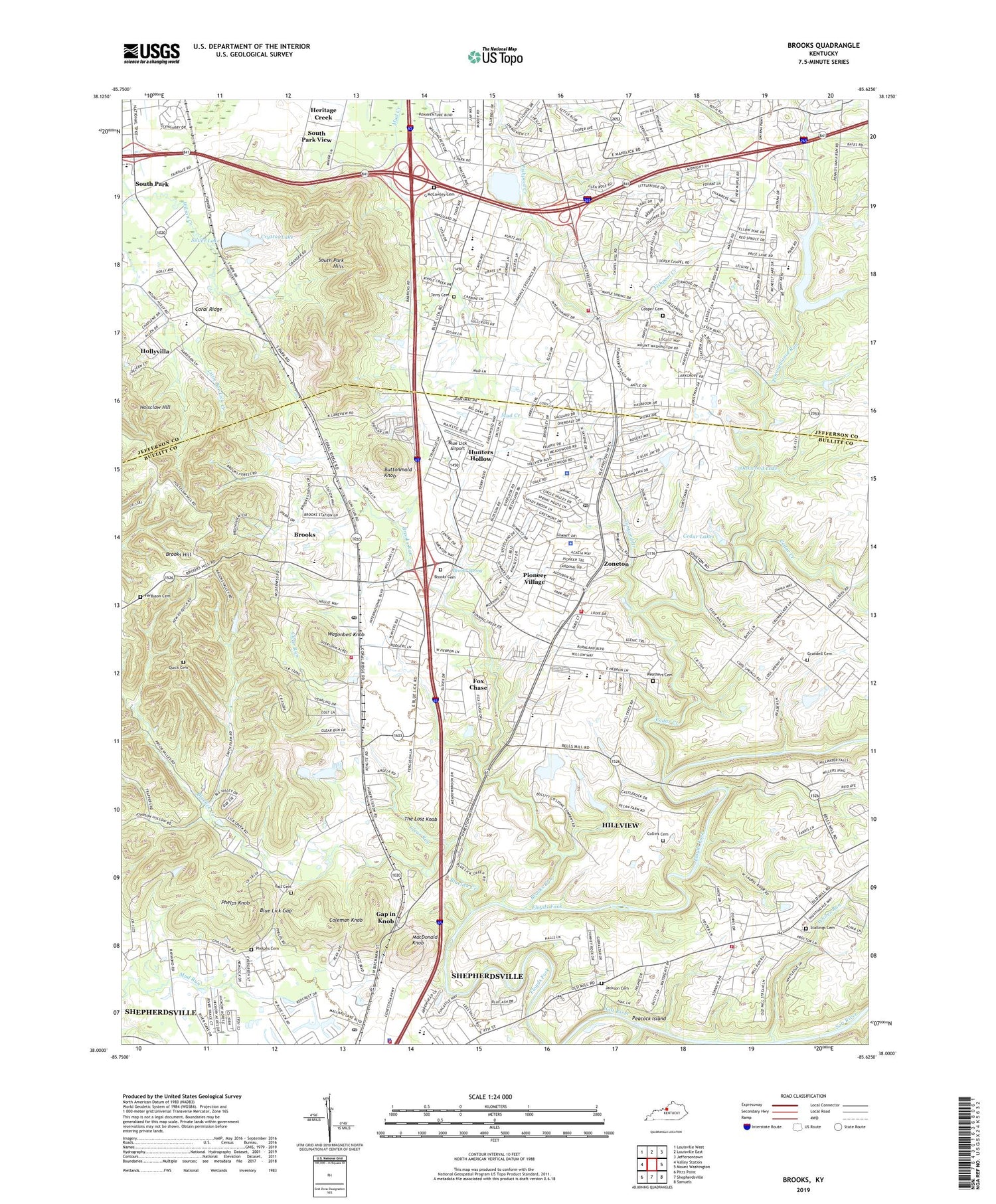
2022 topographic map quadrangle Brooks in the state of Kentucky. Scale: 1:24000. Based on the newly updated USGS 7.5' US Topo map series, this map is in the following counties: Bullitt, Jefferson. The map contains contour data, water features, and other items you are used to seeing on USGS maps, but also has updated roads and other features. This is the next generation of topographic maps. Printed on high-quality waterproof paper with UV fade-resistant inks.
Quads adjacent to this one:
West: Valley Station
Northwest: Louisville West
North: Louisville East
Northeast: Jeffersontown
East: Mount Washington
Southeast: Samuels
South: Shepherdsville
Southwest: Pitts Point
This map covers the same area as the classic USGS quad with code o38085a6.
Contains the following named places: Ball Cemetery, Bethany Church, Blake Elementary School, Blue Lick Airport, Blue Lick Gap, Blue Lick School, Bluelick Church, Bluelick Creek, Bonaventure Boulevard Church of Christ, Brashears Station Historical Marker, Brooks, Brooks Cemetery, Brooks Census Designated Place, Brooks Church, Brooks Hill, Brooks Post Office, Brooks Run, Brooks School, Brooks Spring, Buttonmold Knob, Camp Shantituck, Cedar Creek, Cedar Lakes, City of Fox Chase, City of Hebron Estates, City of Hillview, City of Hollyvilla, City of Hunters Hollow, City of Pioneer Village, City of South Park View, Clear Run, Coleman Knob, Collins Cemetery, Community Church of Christ, Cooper, Cooper Cemetery, Cooper Chapel Road Baptist Church, Cooper Memorial Chapel, Coral Ridge, Coral Ridge Elementary School, Crystal Lake, Dorothea Stottman Library, Eagles Nest International Church, Eastview Church, Fairdale High School Magnet Career Academy, Ferguson Cemetery, Filson School, Fox Chase, Freedom Elementary School, Gap in Knob, Grandell Cemetery, Hacienda, Hebron, Hebron Church, Hebron Estates, Heritage Creek, Hillview, Hillview Assembly of God, Hillview Police Department, Hillview Post Office, Hollyvilla, Holscan Lookout Tower, Holsclaw Hill, Hubers Kenlite Station, Hunters Hollow, Jackson Cemetery, Kingdom Hall of Jehovahs Witnesses, Knight Middle School, Laukhuf Elementary School, Little Bee Lick Creek, Little Flock Baptist Church, Louisville Christian School, MacDonald Knob, MacDowell Chapel, Manslick Road Church of Christ, Maple Grove Church, Mc Neely Lake, McCawley Cemetery, McNeely Lake Park, Messiah Trinity Church, Micah Christian School, Mount Washington Fire Protection District Station 3, Oak Grove Church, Oakwood Lake, Okolona Baptist Church, Okolona Church of the Nazarene, Okolona Fire Department Station 2, Okolona Separate Baptist Church, Overdale Elementary School, Overdale United Methodist Church, Peace Lutheran Church, Peacock Island, Pennsylvania Run, Phelphs Cemetery, Phelps Knob, Pioneer Village, Pioneer Village Police Department, Pleasant Grove Baptist Church, Pleasant Valley Church, Quick Cemetery, Rios de Aqua Viva, River City Baptist Church of Louisville, Saint Elizabeth Seton Church, Saint Luke Catholic Church, Saint Marys Catholic Church, Salem Church Of Christ, Shepherdsville Church, Shepherdsville Fire Department Station 1, Shepherdsville Police Department, Shepherdsville Post Office, Silver Heights Plaza Shopping Center, Silver Lake, South Park, South Park Alternative High School, South Park Church, South Park Fishing Club, South Park Hills, South Park School, South Park View, Stallings Cemetery, Summit Hills Baptist Church, Tanyard Branch, Terry Cemetery, The Lost Knob, Trinity Pentecostal Tabernacle, Wagonbed Knob, WAMZ-FM (Louisville), Weathers Cemetery, Whites Run, Wilt School, WLSY-AM (Newburg), Zoneton, Zoneton Fire Department, Zoneton Fire Protection District Station 2, ZIP Code: 40229


