MyTopo
Valley Station Kentucky US Topo Map
Couldn't load pickup availability
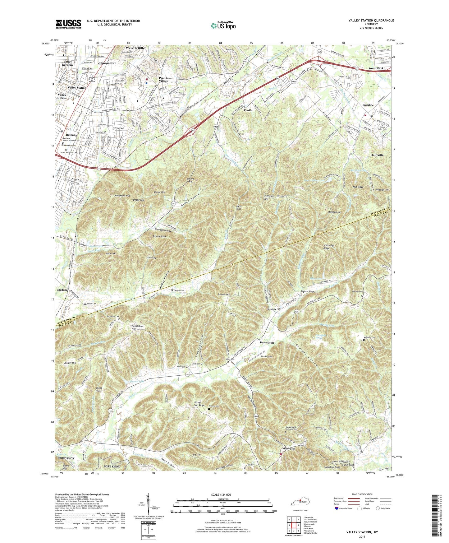
2022 topographic map quadrangle Valley Station in the state of Kentucky. Scale: 1:24000. Based on the newly updated USGS 7.5' US Topo map series, this map is in the following counties: Jefferson, Bullitt. The map contains contour data, water features, and other items you are used to seeing on USGS maps, but also has updated roads and other features. This is the next generation of topographic maps. Printed on high-quality waterproof paper with UV fade-resistant inks.
Quads adjacent to this one:
West: Kosmosdale
Northwest: Lanesville
North: Louisville West
Northeast: Louisville East
East: Brooks
Southeast: Shepherdsville
South: Pitts Point
Southwest: Fort Knox
This map covers the same area as the classic USGS quad with code o38085a7.
Contains the following named places: Applegate Run, Archers Cemetery, Barrallton, Bearcamp Run, Beghto Ridge, Bennett Lake, Beth Haven Christian School, Bethany, Bethany Memorial Cemetery, Big Bee Lick Creek, Big Flat, Big Horn Lake, Blevins Gap, Brooks Field, Brown Cemetery, Brushy Fork, Bullitt Lick, Bullitt Lick Church, Cahill Knob, Campground Memorial Cemetery, Christian Assembly Church, Claybank Creek, Coalpit Hollow, Community of Christ Church, Crane Run, Cundiff Hill, Curry Branch, Dillon Hollow, Dixie Elementary School, Dixie Valley Center Shopping Center, Dodge Gap, Dodge Hill, Elmo Lake, Fairdale, Fairdale Census Designated Place, Fairdale Elementary School, Fairdale Fire Protection District, Fairdale High School, Fairdale Post Office, Faith Presbyterian Church, Good Shepherd Lutheran Church, Gospel Assembly Convention Center, Gospel Campground, Graham Cemetery, Gravel Creek, Harshfield Spring, Headley Hollow, Heritage Baptist Church, Holsclaw Hill, Horine Cemetery, Humana Hospital Southwest Heliport, Jefferson County Memorial Forest, Jefferson Hill, Jefferson Southwest Division, Johnsontown, Jones Hollow Camp Area, Joyce Hollow, KentuckyOne Health Medical Center Jewish Southwest, Kings Hollow, Kings Ridge, Layne Elementary School, Martins Hill, Martins Hollow, McDaniel Cemetery, Medora, Medora Christian Church, Metz Gap, Miller Cemetery, Miller Hill, Mitchell Hill, Moremans Hill, Mount Elmira Baptist Church, Mount Holly Cemetery, Mount Holly Church, Mount Olivet, Mud Run, New Bethel Church, Nichols Fire District Station 1, Nichols Fire District Station 2, Our Lady of Consolation Church, Our Lady of Consolation School, Pendleton Cemetery, Pendleton Hill, Penile, Penile Baptist Church, Pleasure Ridge Park Fire Department Station 2, Pond Creek Division, Potato Knob, Prairie Village, Rearden Hollow, Rieber Lake, Saint Clement Church, Salt Block Creek, Samuel Hill, Scott Gap, Sharps, Shepherdsville Northwest Division, Skinner Branch, Slate Run, Smith Cemetery, South Jefferson Cemetery, Southwest Regional Branch Library Louisville Free Public Library, Stonestreet School, Stuart High School, Stuart Middle School, Sugarloaf Knob, Sugartree Run, Sunnyside, Sunnyside Church, Tom Wallace Lake, Valley, Valley Christian Church, Valley Downs, Valley Gardens, Valley High School, Valley School, Valley Station, Valley Station Baptist Church, Valley Station Census Designated Place, Valley Station Church of Christ, Valley Station Post Office, Valley Station Shopping Center, Valley View Church, Virginia Avenue United Methodist Church, Waverly Hills, WBNA-TV (Louisville), Weird Cemetery, Westland Mall Shopping Center, White Oak Ridge, Wilkerson School, WJIE-FM (Okolona), WONS-AM (Pleasure Ridge Park), Yost Ridge, ZIP Codes: 40109, 40118, 40272


