MyTopo
Cane Valley Kentucky US Topo Map
Couldn't load pickup availability
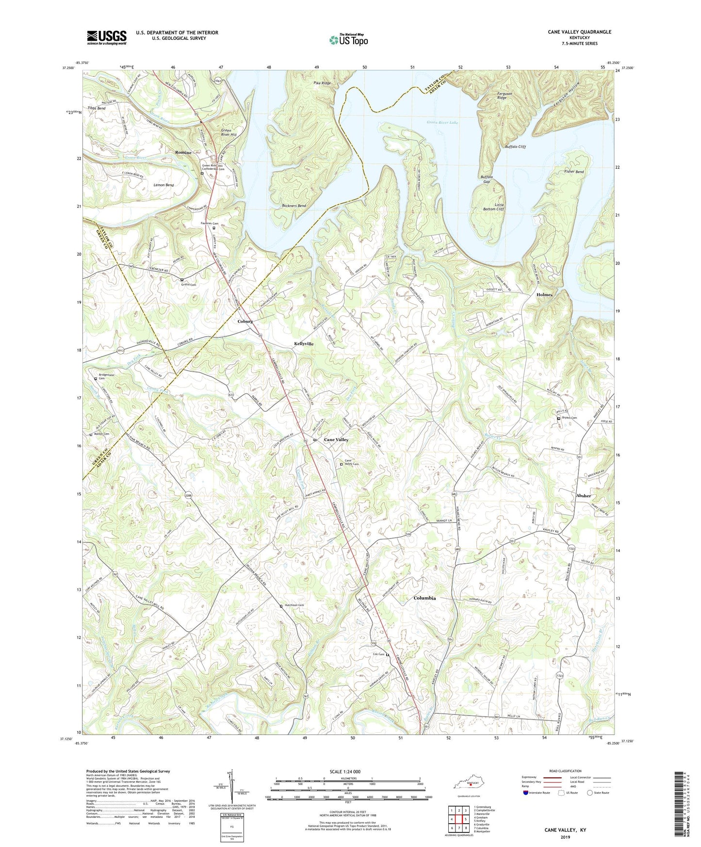
2022 topographic map quadrangle Cane Valley in the state of Kentucky. Scale: 1:24000. Based on the newly updated USGS 7.5' US Topo map series, this map is in the following counties: Adair, Taylor, Green. The map contains contour data, water features, and other items you are used to seeing on USGS maps, but also has updated roads and other features. This is the next generation of topographic maps. Printed on high-quality waterproof paper with UV fade-resistant inks.
Quads adjacent to this one:
West: Gresham
Northwest: Greensburg
North: Campbellsville
Northeast: Mannsville
East: Knifley
Southeast: Montpelier
South: Columbia
Southwest: Gradyville
This map covers the same area as the classic USGS quad with code o37085b3.
Contains the following named places: Absher, Asbury Church, Bridgewater Cemetery, Bryant Cemetery, Buckners Bend, Buffalo Cliff, Buffalo Gap, Butler Creek, Cane Valley, Cane Valley Cemetery, Cane Valley Church, Cane Valley Division, Cane Valley Post Office, Charity Church, Coburg, Corbin Bend, Cox Cemetery, Cyclone, Dry Fork, Egypt Christian Church, Faulkner Cemetery, Faulkner Sulphur Spring, Ferguson Hollow, Ferguson Ridge, Fisher Bend, Green River Bridge Historical Marker, Green River Hill, Green River Hill Confederate Cemetery, Green River Lake, Griffin Cemetery, Holmes, Hutchison Branch, Hutchison Cemetery, Hutchison Church, Independence Day Fight Historical Marker, Jones Branch, Kellyville, Little Bottom Cliff, Mill Creek, Moulton Cemetery, Mount Pleasant, Mount Pleasant Church, Mount Vernon Church, Pelham Branch, Pike Ridge, Pinch Creek, Romine, Russell Branch, Sandy Creek, Sulphur Spring Branch, Sulphur Spring Church, Tibbs Bend, WGRB-TV (Campbellsville), White Oak Creek


