MyTopo
Cumberland Falls Kentucky US Topo Map
Couldn't load pickup availability
Also explore the Cumberland Falls Forest Service Topo of this same quad for updated USFS data
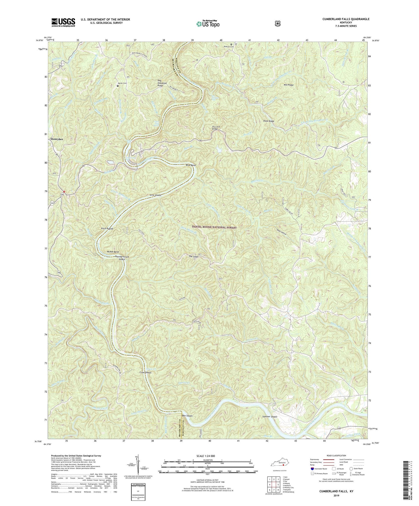
2022 topographic map quadrangle Cumberland Falls in the state of Kentucky. Scale: 1:24000. Based on the newly updated USGS 7.5' US Topo map series, this map is in the following counties: Whitley, McCreary. The map contains contour data, water features, and other items you are used to seeing on USGS maps, but also has updated roads and other features. This is the next generation of topographic maps. Printed on high-quality waterproof paper with UV fade-resistant inks.
Quads adjacent to this one:
West: Wiborg
Northwest: Hail
North: Sawyer
Northeast: Vox
East: Wofford
Southeast: Williamsburg
South: Hollyhill
Southwest: Whitley City
This map covers the same area as the classic USGS quad with code o36084g3.
Contains the following named places: Amos Falls, Amos Falls Branch, Archers Creek, Bear Wallow, Bee Shoals, Bee Shoals Creek, Big Branch, Bill Perry Branch, Blue Bend, Bony Branch, Brummett Branch, Brushy Creek, Buck Creek, Buck Shoals Creek, Bunches Creek, Buzzard Creek, Calf Pen Fork, Cane Creek, Cantrel Creek, Catfish Creek, Center Rock Rapids, Civilian Conservation Corps Historical Marker, Coal Band Branch, Combling Falls Resort, Concord Church, Cow Creek, Crow Creek, Crow Shoals, Cumberland Falls, Cumberland Falls Division, Cumberland Falls Fire Station, Cumberland Falls Moonbow Historical Marker, Cumberland Falls Post Office, Cumberland Falls State Park, Cumberland Falls Trail Number Two, Dog Slaughter Creek, Dog Slaughter Falls, Dog Slaughter Ridge, Dry Bridge Overlook, Dry Land Bridge, Eagle Creek, Eagle Creek Church, Eagle Falls, Eagle Knob Branch, Falls Branch, Gulf Branch, Hatchell Branch, Hens Nest Creek, Hogbed Branch, Holden Branch, Honeybee, Indian Creek, Jellico Creek, John Rose Branch, Kiwanis Trail Historical Marker, Little Bunches Creek, Little Dog Slaughter Creek, Long Branch, Long Shoal Creek, Lovers Leap Overlook, Lower Mulberry Branch, Mariar Cemetery, Marsh Creek, McKee Bend, Middle Ridge, Midsprings School, Moonbow Inn, Morton School, New Liberty Lookout Tower, North Fork Dog Slaughter Creek, Oak Ridge Church, Peter Branch, Pine Grove Church, Pinnacle Lookout Tower, Pioneer Hero-Heroine Historical Marker, Pitch Branch, Pitch Rapids, Pleasant Hill Church, Polly Hollow, Pond Branch, Pond Ridge, Prop Cave Branch, Ridener Cemetery, Rock Branch Church, Rock Branch School, Ryan Branch, Sand Hill School, Seminary Branch, Shanty Branch, Shop Branch, Slick Shoals, Slick Shoals Branch, South Fork Dog Slaughter Creek, Summer Shoals, The Steps, Thunderstruck Shoals, Tombstone Junction Amusement Park, Upper Mulberry Branch, White Oak Creek, White Oak School, Worley Branch


