MyTopo
Sawyer Kentucky US Topo Map
Couldn't load pickup availability
Also explore the Sawyer Forest Service Topo of this same quad for updated USFS data
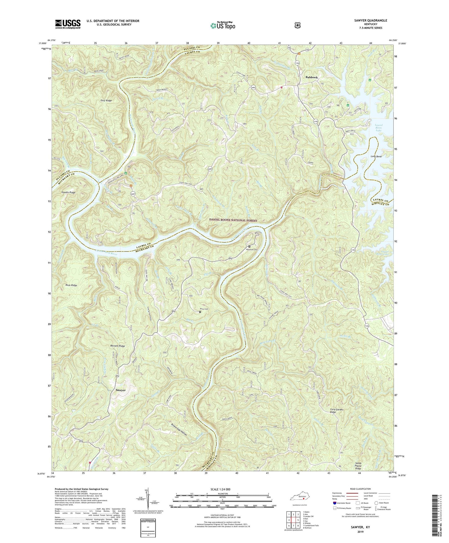
2022 topographic map quadrangle Sawyer in the state of Kentucky. Scale: 1:24000. Based on the newly updated USGS 7.5' US Topo map series, this map is in the following counties: Laurel, Whitley, McCreary, Pulaski. The map contains contour data, water features, and other items you are used to seeing on USGS maps, but also has updated roads and other features. This is the next generation of topographic maps. Printed on high-quality waterproof paper with UV fade-resistant inks.
Quads adjacent to this one:
West: Hail
Northwest: Dykes
North: Ano
Northeast: London SW
East: Vox
Southeast: Wofford
South: Cumberland Falls
Southwest: Wiborg
This map covers the same area as the classic USGS quad with code o36084h3.
Contains the following named places: Bald Rock Volunteer Fire Department, Baldrock, Baldrock Church, Baldrock Conservation Center, Bark Camp, Bark Camp Creek, Bark Camp Shelter Campground, Bark Camp Trail, Barnett Ridge, Bear Creek, Bee Creek, Ben Branch, Big Lick Branch, Bridge Branch, Broad Gap Hollow, Camp Creek, Campbell Branch, Cliffside Trail, Cold Spring Hollow, Cox Branch, Craig Creek, Craig Creek Boat Ramp, Craig Creek Campground, Curd Garden Ridge, Darbs Branch, Dave Branch, Devil Creek, Dutch Branch, Dutch Branch Overlook, Eagle - Sawyer Fire Department, Fall Creek, Fish Trap Branch, Fishing Creek, Flat Branch, Franklin School Number 2, Good Branch, Goodin Branch, Grassy Branch, Gulf Ridge, Hamilton Cemetery, Holly Bay Boat Ramp, Holly Bay Marina, Holly Bay Recreation Area, Ike Branch, Jackie Branch, Kentucky Youth Ranch, Lakeside South Trail, Laurel River, Little Marina, London Dock Marina, Long Bend, Long Branch, Lower Troublesome Creek, Lower Twin Branch, Martins Fork, Mill Branch, Mill Creek, Mill Creek Church, Mouth of Laurel Boat Ramp, Nathan McClure Trail, Ned Branch, Ned Branch Trail, Noes Breakwater, Peter Branch, Peter Branch Trail, Pole Bridge Branch, Pond School, Poynters Church, Poynters School, Price Cemetery, Rock Branch, Rock Creek, Rockcastle Boat Ramp, Rockcastle Campground, Rockcastle River, Rose Branch, Ross Branch, Sam Branch, Sandy Poplar Ridge, Sawyer, Sawyer Boat Ramp, Sawyer Campground, Sawyer Campsite, Sawyer Church, Sawyer School, Sheltowee Trace Trail, South Mill Creek School, Spice Mortar Branch, Star Creek Shelter Campground, Stillhouse Branch, Sulphur Fork, Taylor Branch, Tweed Branch, Twin Branch Shelter Campground, Twin Branch Trail, Upper Troublesome Creek, Upper Twin Branch, Walker Branch, Whetstone Branch, Whitman Branch, Wilson Hollow, Youngs Chapel Baptist Church


