MyTopo
Danville Kentucky US Topo Map
Couldn't load pickup availability
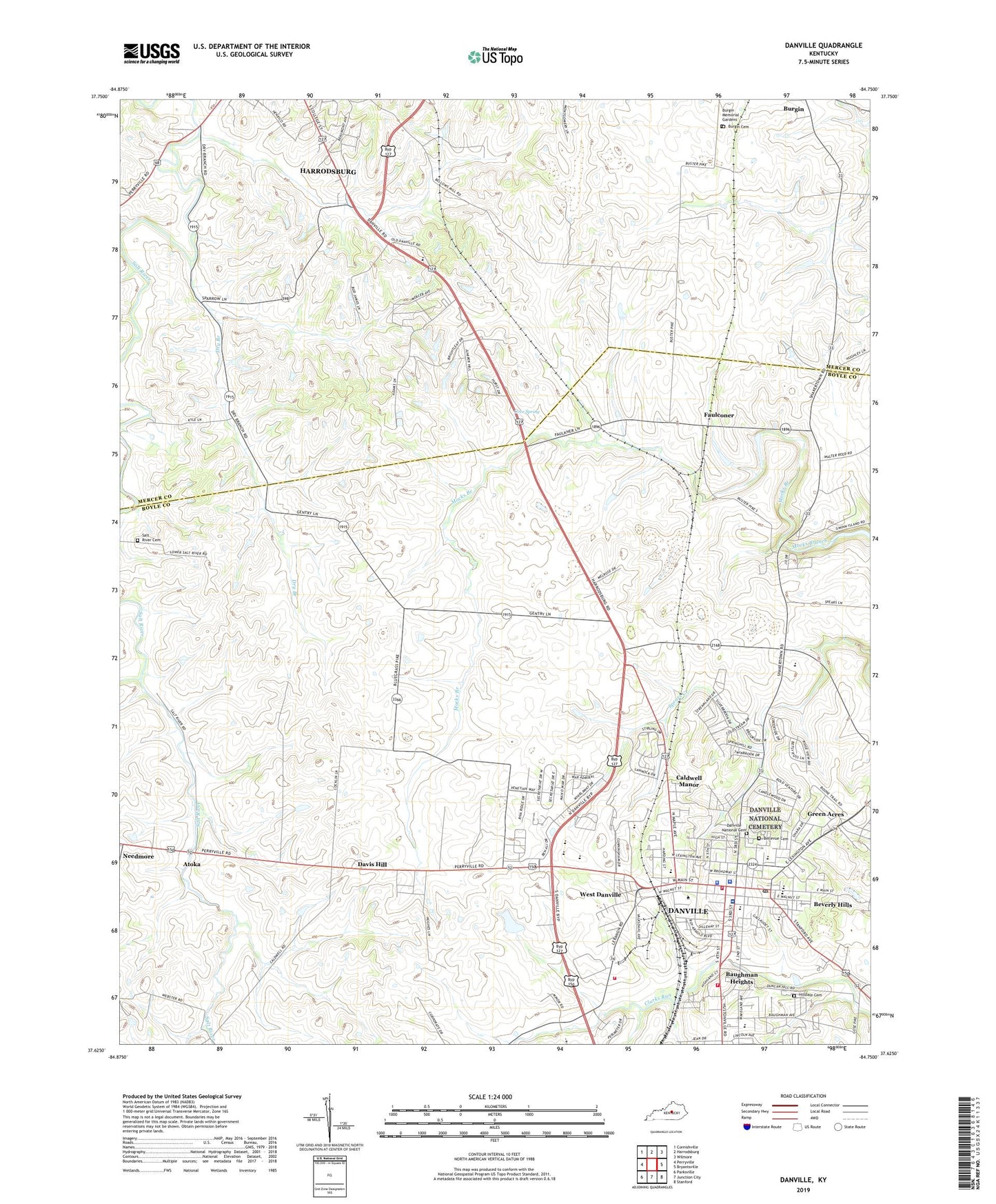
2022 topographic map quadrangle Danville in the state of Kentucky. Scale: 1:24000. Based on the newly updated USGS 7.5' US Topo map series, this map is in the following counties: Boyle, Mercer. The map contains contour data, water features, and other items you are used to seeing on USGS maps, but also has updated roads and other features. This is the next generation of topographic maps. Printed on high-quality waterproof paper with UV fade-resistant inks.
Quads adjacent to this one:
West: Perryville
Northwest: Cornishville
North: Harrodsburg
Northeast: Wilmore
East: Bryantsville
Southeast: Stanford
South: Junction City
Southwest: Parksville
This map covers the same area as the classic USGS quad with code o37084f7.
Contains the following named places: Atoka, Atoka Post Office, Baughman Heights, Bellevue Cemetery, Beverly Hills, Boyle County Courthouse Historical Marker, Boyle County Fire Department Engine Company 1, Boyle County Sheriff's Office, Burgin Cemetery, Burgin Memorial Gardens, Caldwell Manor, Centre College, Centre College Historical Marker, City of Danville, Clarks Station Historical Marker, Constitution Square State Historic Site, Cove Spring, Danville, Danville Boyle 911 Center, Danville Division, Danville Fire Department Central Station, Danville Fire Department Station 1, Danville National Cemetery, Danville Police Department, Danville Post Office, Davis Hill, Doctor Ephraim McDowell Historic Marker, Dry Branch, Ephraim McDowell House Historical Marker, Ephraim McDowell House State Historical Site, Ephraim McDowell Regional Medical Center, Faulconer, Faulconer Post Office, Faulkner Railroad Station, First Hemp Crop Historical Marker, Franklin School, Governor Owsley Home Historical Marker, Grace Church, Green Acres, Harrods Station, Hilldale, Hilldale Cemetery, Hogsett Elementary School, Immanuel Church, Indian Hills, Indian Hills Church, Jackson Park, Jacobs Hall Historical Marker, James G Birney Historical Marker, Jennie Rogers Elementary School, John Marshall Harlan Historical Marker, John Todd Stuart Historical Marker, Judge John Boyle Historical Marker, Lynnwood, Melrose Stock Farm, Mud Meetinghouse, Perryville Tollgate, Pioneer Church, Pioneer Playhouse, Presbyterian Church Historical Marker, Quirks Run, Salt River Baptist Church, Salt River Cemetery, Salt River Methodist Church, School for the Deaf Historical Marker, Theodore O'Hara Historical Marker, Trinity Episcopal Church Historical Marker, Uncle Charlie Moran Historical Marker, Verchamp Railroad Station, West Danville, West End Church, WHBN-AM (Harrodsburg), WHBN-FM (Harrodsburg), WHIR-AM (Danville), Wilson Station, WMGE-FM (Danville), ZIP Codes: 40310, 40422


