MyTopo
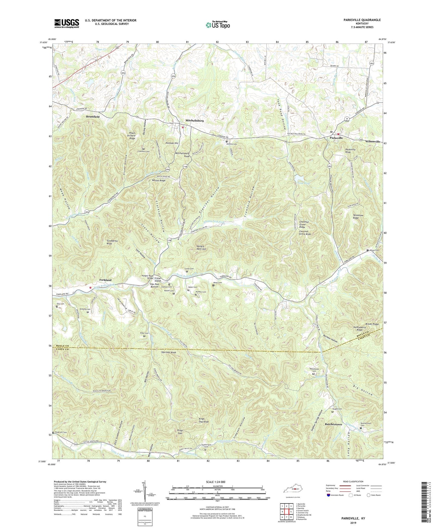
Parksville Kentucky US Topo Map
Couldn't load pickup availability
2022 topographic map quadrangle Parksville in the state of Kentucky. Scale: 1:24000. Based on the newly updated USGS 7.5' US Topo map series, this map is in the following counties: Boyle, Casey. The map contains contour data, water features, and other items you are used to seeing on USGS maps, but also has updated roads and other features. This is the next generation of topographic maps. Printed on high-quality waterproof paper with UV fade-resistant inks.
Quads adjacent to this one:
West: Gravel Switch
Northwest: Mackville
North: Perryville
Northeast: Danville
East: Junction City
Southeast: Hustonville
South: Ellisburg
Southwest: Bradfordsville NE
This map covers the same area as the classic USGS quad with code o37084e8.
Contains the following named places: Atwood Hollow, Beckey Hollow, Big Hollow, Boyle County Fire Department Company 5, Boyle County Fire Department Station 3, Boyle County Forkland Fire District, Brooks Ridge, Brumfield, Brumfield Post Office, Brumfield Railroad Station, Buck Branch, Butchertown, Butchertown Cemetery, Butchertown Community Center, Butchertown School, Carpenter Fork, Chambers Cemetery, Chestnut Grove Chruch of Christ, Chestnut Grove Knob, Chestnut Grove Ridge, Chestnut Grove School, Clarkson Cemetery, Clarkson Hollow, Cozatt Railroad Station, Crane Island, Crawford Hollow, Crews Cemetery, Crowe Hollow, Curtis Branch, Day Branch, Dick Sinkhorn Hollow, Durham Hollow, Edward Hollow, Elder Cemetery, Elk Cave Branch, Ellis Cemetery, Faith Chapel, Fletcher Hollow, Forkland, Forkland Community Center, Forkland Post Office, Forkland School, Frances Branch, Friendship Church, Gano Post Office, Gee Branch, Hankla Post Office, Harveyton Post Office, Huckleberry Ridge, Hungry Neck Bridge, Hungry Neck Fork, Hungry Neck Hill, Irene Post Office, Johnson Branch, Johnson Chapel, Johnson Chapel School, Junction City Division, Kings Gap, Kings Gap Knob, Kirkland Cemetery, Lane Branch, Lock Branch, Lock Hollow, Long Hollow, Maple Grove School, Matheny Lane Hollow, Medlock Branch, Mill Hollow, Miner Hollow, Miners Branch Little South Fork, Minor Branch, Minor Cemetery, Mitchell Cemetery, Mitchellsburg, Mitchellsburg Church, Mitchellsburg Knob, Parksville, Parksville High School, Parksville Knob, Parksville Post Office, Parksville Railroad Station, Peach Orchard Ridge, Perryville Division, Piedmont Cemetery, Piedmont Church, Pittman Hill, Pleasant Run Baptist Church, Pleasant Valley Church, Purdom Cemetery, Roller Cemetery, Rolling Fork Church, Russell Branch, Russell Cemetery, Salem, Salem Baptist Church, Salem School, Scrubgrass Knob, Seng Branch, Shelby Branch, Sherman Knob, Shoehammer School, Sign Post Bottom, Simpson Hollow, Southerland Cemetery, Stave Hollow, Sulphur Branch, Sulphur Springs Hollow, Sycamore School, Tank Pond, Tank Pond Hollow, Tar Lick Hollow, Tennessee Ridge, Tub Run, Valley Grove Church, Webb Hollow, Whitehouse Cemetery, Whites Ridge, Wilson Cemetery, Wilsonville, ZIP Code: 40464


