MyTopo
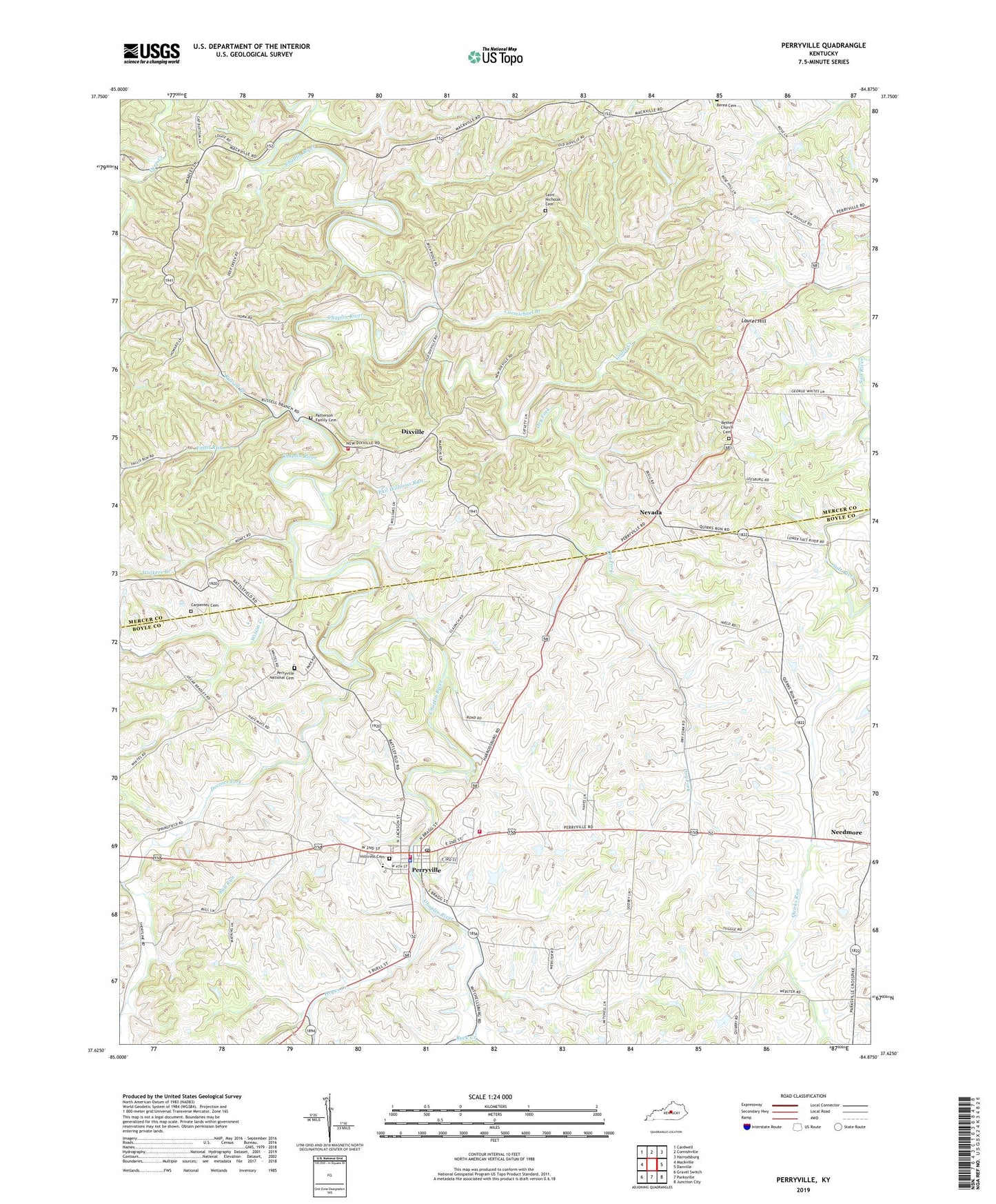
Perryville Kentucky US Topo Map
Couldn't load pickup availability
2022 topographic map quadrangle Perryville in the state of Kentucky. Scale: 1:24000. Based on the newly updated USGS 7.5' US Topo map series, this map is in the following counties: Boyle, Mercer. The map contains contour data, water features, and other items you are used to seeing on USGS maps, but also has updated roads and other features. This is the next generation of topographic maps. Printed on high-quality waterproof paper with UV fade-resistant inks.
Quads adjacent to this one:
West: Mackville
Northwest: Cardwell
North: Cornishville
Northeast: Harrodsburg
East: Danville
Southeast: Junction City
South: Parksville
Southwest: Gravel Switch
This map covers the same area as the classic USGS quad with code o37084f8.
Contains the following named places: Atoka Church, Bac Post Office, Battle, Battle of Perryville Historical Marker, Begley Branch, Benton Church, Bestonia Post Office, Bethel Church, Bethel Church Cemetery, Black School, Bottom House Historical Marker, Boyle County Fire Department Engine Company 2, Bruners Chapel, Buck Creek, Bull Run, Carmichael Branch, Carpenter Cemetery, City of Perryville, Crawford Springs Historical Marker, Dixville, Dixville Volunteer Fire Department, Doctors Fork, Dry Fork, Fallis Run, Goose Creek, Hillcrest Cemetery, Hopes Creek, Karrick-Paris House Historical Marker, Laurel Hill, Laurel Hill Church, Mercer County Alms House, Merchants Row Historical Marker, Needmore, Nevada, Nevada Post Office, Patterson Family Cemetery, Perryville, Perryville Battlefield State Park, Perryville Fairground, Perryville Historical Marker, Perryville National Cemetery, Perryville Police Department, Perryville Post Office, Perryville Volunteer Fire Department, Petersburg Church, Phil Williams Run, Providence School, Reverend Francis Clark Historical Marker, Rose Hill, Rose Hill High School, Rose Hill Post Office, Russell Branch, Russell House Historical Marker, Saint Nicholas Cemetery, Salt River School, Sergeant Hart Creek, Sleettown, Soul Sleepers Church, Walkers Branch, Webster School, Wilson Creek, ZIP Code: 40468


