MyTopo
Delmer Kentucky US Topo Map
Couldn't load pickup availability
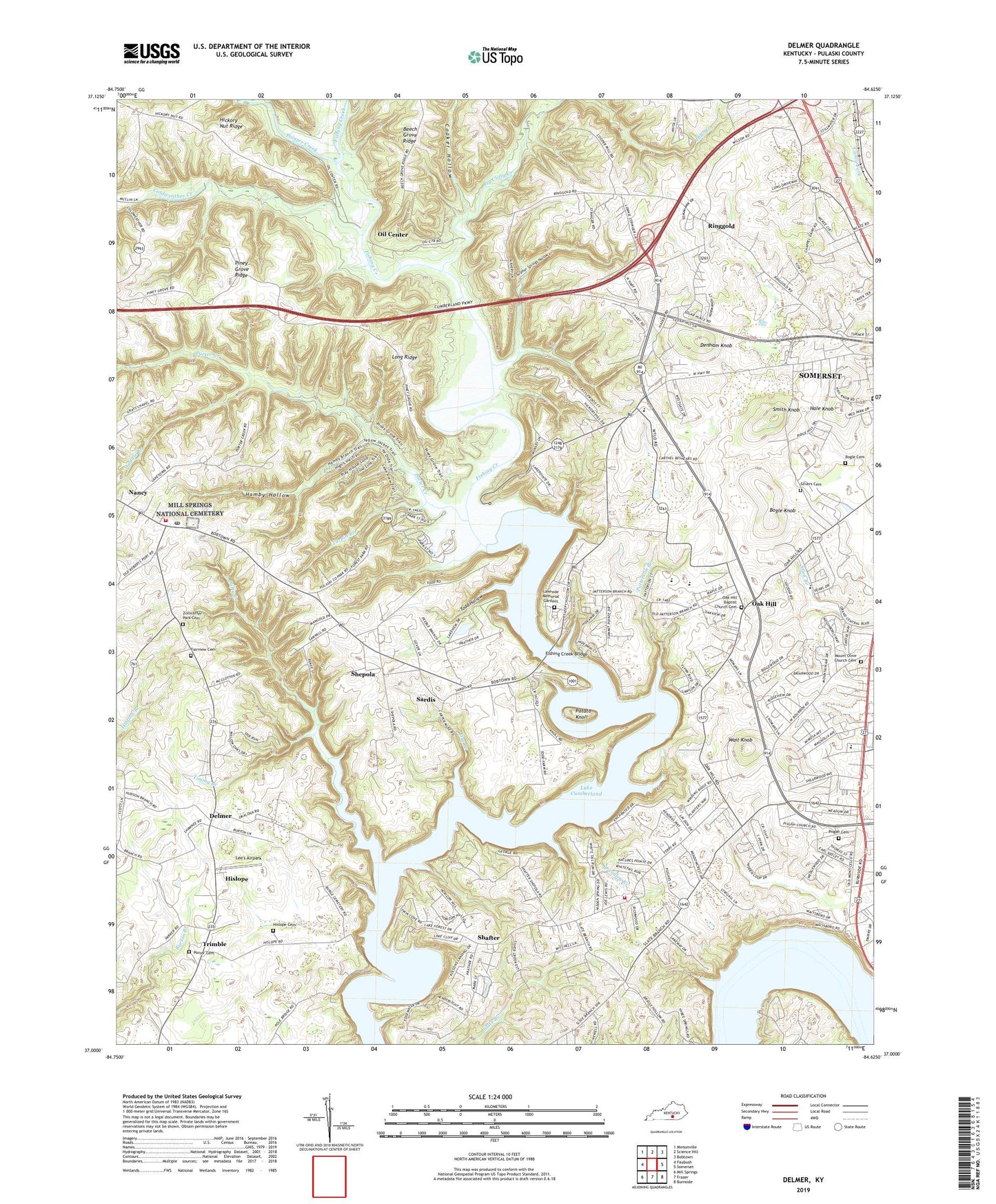
2022 topographic map quadrangle Delmer in the state of Kentucky. Scale: 1:24000. Based on the newly updated USGS 7.5' US Topo map series, this map is in the following counties: Pulaski. The map contains contour data, water features, and other items you are used to seeing on USGS maps, but also has updated roads and other features. This is the next generation of topographic maps. Printed on high-quality waterproof paper with UV fade-resistant inks.
Quads adjacent to this one:
West: Faubush
Northwest: Mintonville
North: Science Hill
Northeast: Bobtown
East: Somerset
Southeast: Burnside
South: Frazer
Southwest: Mill Springs
This map covers the same area as the classic USGS quad with code o37084a6.
Contains the following named places: Big Clifty Creek, Big Knob Lick, Bogle Cemetery, Bogle Knob, Brandley Branch, City of Burnside, Clifty Creek, Coaker Hollow, Coldweather Creek, Confederate Defense Line Historical Marker, Crackers Neck, Crockett, Delmer, Delmer Church, Denham Knob, Dry Branch, Fairview Cemetery, Felix K Zollicoffer Historical Marker, Firebrook Volunteer Fire Department, Fishing Creek Bridge, Hale Knob, Hamby Hollow, Hickory Nut Ridge, Hislope, Hislope Cemetery, Lakeside Memorial Gardens, Lee's Airpark, Lees Ford, Lees Ford Dock, Long Ridge, Mill Springs Battlefield National Monument, Mill Springs National Cemetery, Mount Olive Cemetery, Mount Olive Church, Nancy, Nancy Post Office, Nancy Volunteer Fire Department, Oak Hill, Oak Hill Church Cemetery, Oakwood Training Center, Oil Center, Okalona Church, Patterson Branch, Piney Grove Ridge, Pisgah Cemetery, Pleasant Hill Church, Pointer Creek, Porter Cemetery, Porter Creek, Potato Knoll, Ringgold, Saline Church, Sardis, Shafter, Shepola, Silvers Cemetery, Slate Branch Church, Smith Knob, Somerset Pulaski County EMS, Somerset-Pulaski County EMS Heliport, Sulphur Springs Hollow, Timmy Branch, Todd Hollow, Trimble, Turpin Branch, Veech Haven Church, Waddle Branch, Wait Knob, Waite, West Somerset Post Office, WLLK-FM (Somerset), WTLO-AM (Somerset), Zollicoffer Park Cemetery


