MyTopo
Glencoe Kentucky US Topo Map
Couldn't load pickup availability
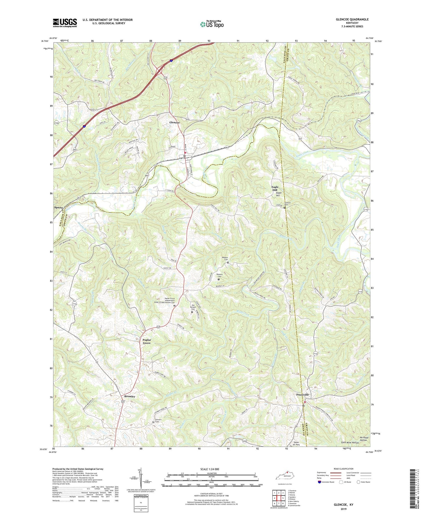
2022 topographic map quadrangle Glencoe in the state of Kentucky. Scale: 1:24000. Based on the newly updated USGS 7.5' US Topo map series, this map is in the following counties: Owen, Gallatin, Grant. The map contains contour data, water features, and other items you are used to seeing on USGS maps, but also has updated roads and other features. This is the next generation of topographic maps. Printed on high-quality waterproof paper with UV fade-resistant inks.
Quads adjacent to this one:
West: Sanders
Northwest: Florence
North: Patriot
Northeast: Verona
East: Elliston
Southeast: Lawrenceville
South: Owenton
Southwest: New Liberty
This map covers the same area as the classic USGS quad with code o38084f7.
Contains the following named places: Asa Kemper Cemetery, Baldwin Cemetery, Bond Branch, Bromley, Bromley Post Office, Brush Creek, Buffalo Branch, City of Glencoe, Eagle Hill, Eagle Hill Post Office, Flat Creek, Glencoe, Glencoe Post Office, Glencoe Volunteer Fire Department, Gold Mine Hollow, Hodge Branch, Indian Camp Creek, Jonesville, Jonesville Post Office, Jonesville Volunteer Fire Department, Little Hope Baptist Church, Log Lick Creek, Long Branch, Maddox Cemetery, Moseby Branch, No Head Hollow, Oakland Baptist Church, Owen Air Park, Pleasant Home Church, Poplar Grove, Poplar Grove Baptist Church, Poplar Grove Independent Order of Odd Fellows Cemetery, Poplar Grove Post Office, Rudder Branch, Sand Lick Branch, School Number Forty-Four, Short Branch, Slab Lick Branch, Slab Lick School, Statlers Run, Stewart Cemetery, Ten Mile Creek, ZIP Codes: 41046, 41052, 41086


